Vancouver Island Construction Surveying
Construction Surveying, Site Layout, Drone Mapping, Orthophotos and LiDAR
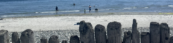
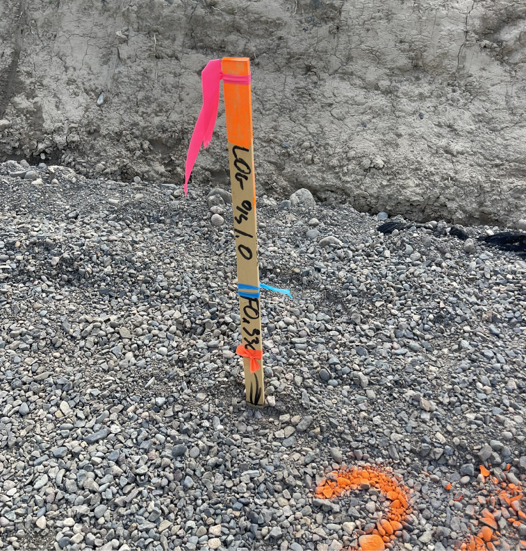
We provide construction surveying, site layout, topographic surveys, drone mapping and LiDAR across Vancouver Island. Our work supports contractors, engineers, project managers, mining clients and environmental teams with practical field data and clear deliverables.