Geomatics and LiDAR Solutions for Vancouver Island’s Construction and Environmental Needs.
Construction Staking, Geomatics and LiDAR
Local Vancouver Island Surveying
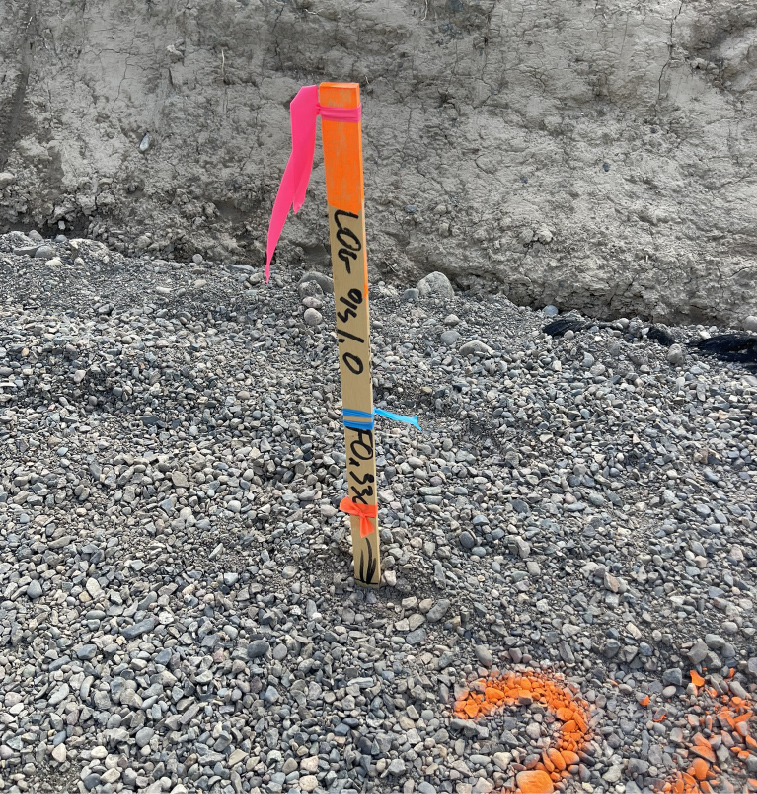
Our mission at Vancouver Island Geomatics is to provide precise and reliable construction staking services that support every stage of your project, from site preparation to final build. We ensure that your construction plans are brought to life with exact measurements and positioning, helping you avoid costly errors and delays. In addition to construction staking, we offer innovative geomatics services such as LiDAR and topographical data collection, empowering sustainable development and informed decision-making. With cutting-edge technology and a dedicated team, we strive to be your trusted partner for surveying, geomatics, and LiDAR services across Vancouver Island.
We specialize in offering a wide array of geomatics, surveying, and LiDAR services throughout Vancouver Island, ensuring precise measurements and trustworthy results for projects in construction, environmental monitoring, and land development. No matter the size of the project, we are dedicated to providing the detailed data and insights needed for successful project execution.
Choose the best and forget the rest.
We want to be your Vancouver Island Construction, Geomatics, Drone and LiDAR surveying service.
Accurate Site Surveying
Our construction surveying services deliver the precise measurements and accurate site layouts needed to ensure your project stays on track. From initial groundwork to final stages, we provide detailed data that helps prevent costly errors and delays. Whether it’s a small development or a large-scale construction project, our reliable surveying solutions ensure accuracy and efficiency.
Precision Geomatics Expertise
Our geomatics services offer precise data and expert analysis, providing detailed mapping, accurate measurements, and reliable insights for construction, land development, and environmental projects. With advanced technology and a focus on precision, we ensure your project benefits from accurate information and thorough support at every stage to deliver the dependable results you need.
Aerial Drone Surveys & LiDAR
Our Drone and LiDAR services deliver high-definition data and comprehensive 3D models, providing precise topographic mapping, efficient site assessments, and detailed analysis for even the most complex construction, land development, and engineering projects. This cutting-edge technology ensures accuracy and efficiency from the air, helping you streamline your project with confidence.


