Construction Surveying and LiDAR Services for Vancouver Island Projects.
Site Layout, Topographic Surveys and LiDAR
About Vancouver Island Geomatics
Vancouver Island Geomatics provides construction surveying, site layout, topographic surveys, drone mapping, orthophotos and LiDAR services for projects across Vancouver Island. We support builders, project managers, engineers and environmental teams with accurate field data, clear deliverables and practical surveying support from early site planning through final as-built information. Our work helps crews confirm grades, layout key features, track quantities and map existing conditions for construction, infrastructure and environmental projects.
We focus on construction surveying, topographic surveys, site layout, drone mapping and LiDAR across Vancouver Island. Our services are built for real job sites where accurate measurements, clear communication and usable survey data matter to contractors, engineers, municipalities and environmental consultants.
Surveying Support for Construction Projects
Construction surveying, site layout, topographic surveys, drone mapping and LiDAR services for projects across Vancouver Island.
Construction Surveying and Site Layout
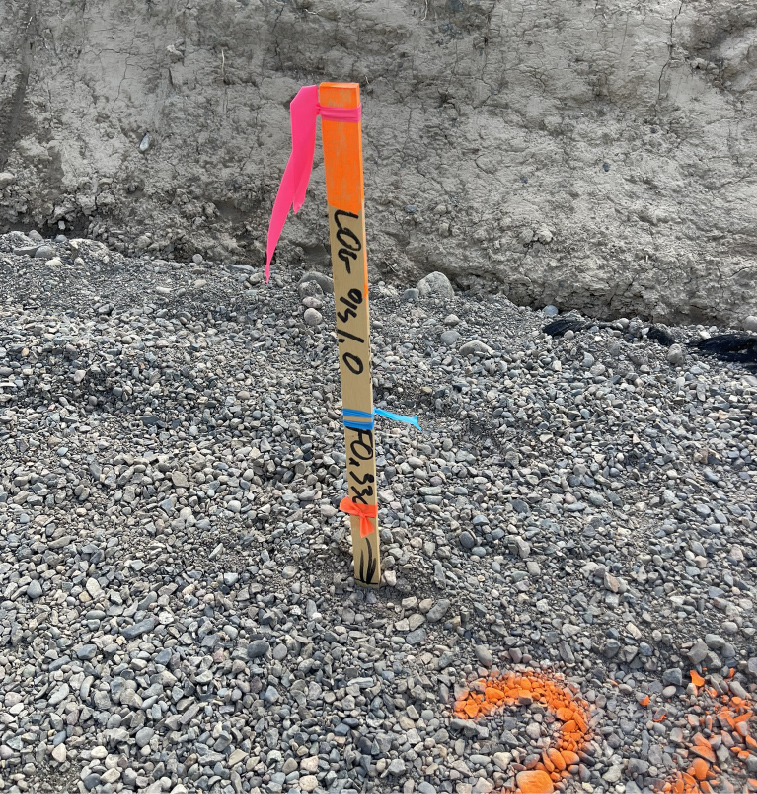
Our construction surveying services include site layout, gridlines, benchmarks, footings, walls, anchor bolts, grades and as-built checks. We provide clear survey data that helps contractors and project managers keep work moving and reduce layout mistakes on Vancouver Island construction sites.
Topographic Surveys and Mapping
Our topographic survey and mapping services help document existing site conditions for design, planning, construction and environmental work. We collect and process accurate field data for surfaces, grades, features, volumes and mapping deliverables that can be used by engineers and project teams.
Drone Mapping, Orthophotos and LiDAR
Our drone mapping, orthophoto and LiDAR services provide aerial survey data for construction, terrain modelling, progress tracking, stockpile volumes and environmental mapping. We produce practical deliverables such as orthophotos, point clouds, surfaces and 3D site data for Vancouver Island projects.