About
A Courtenay company with an Island-sized field area.
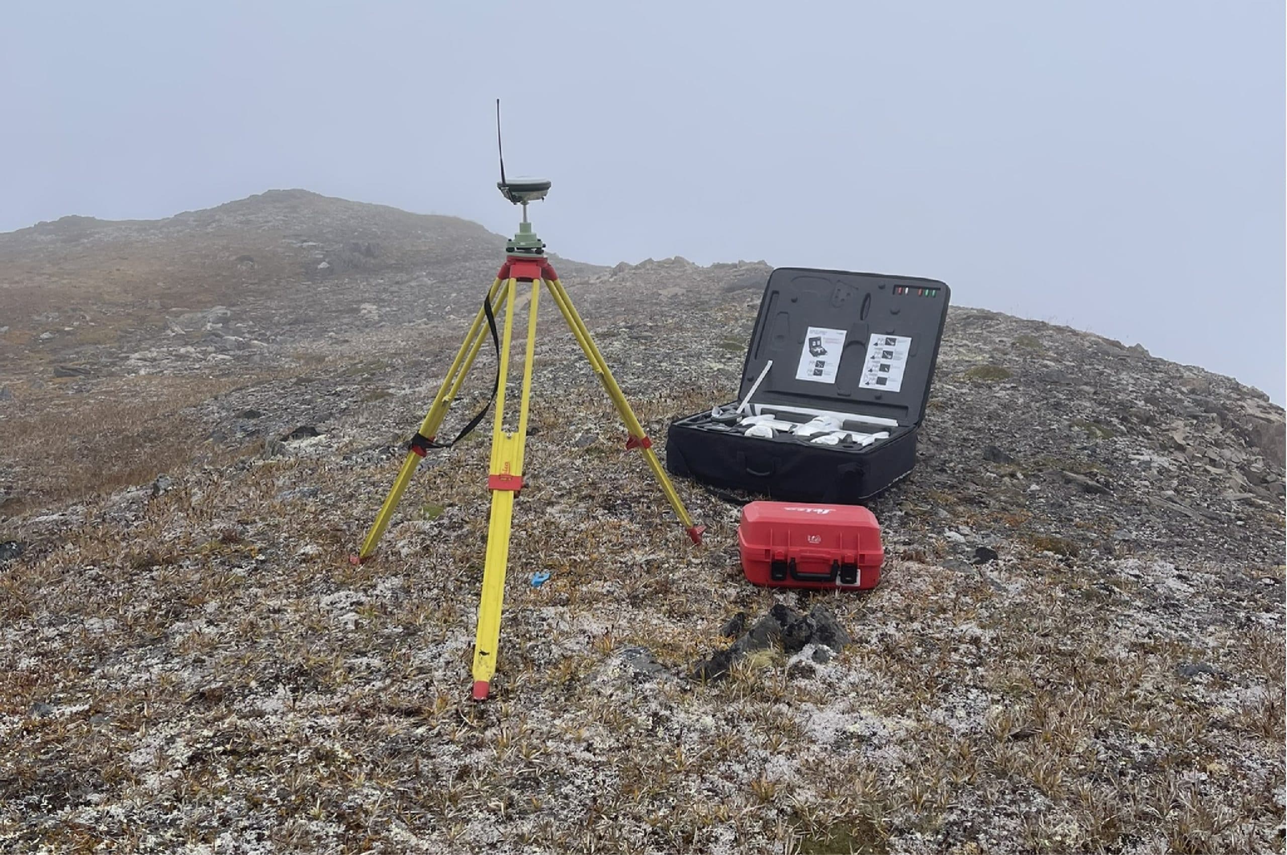
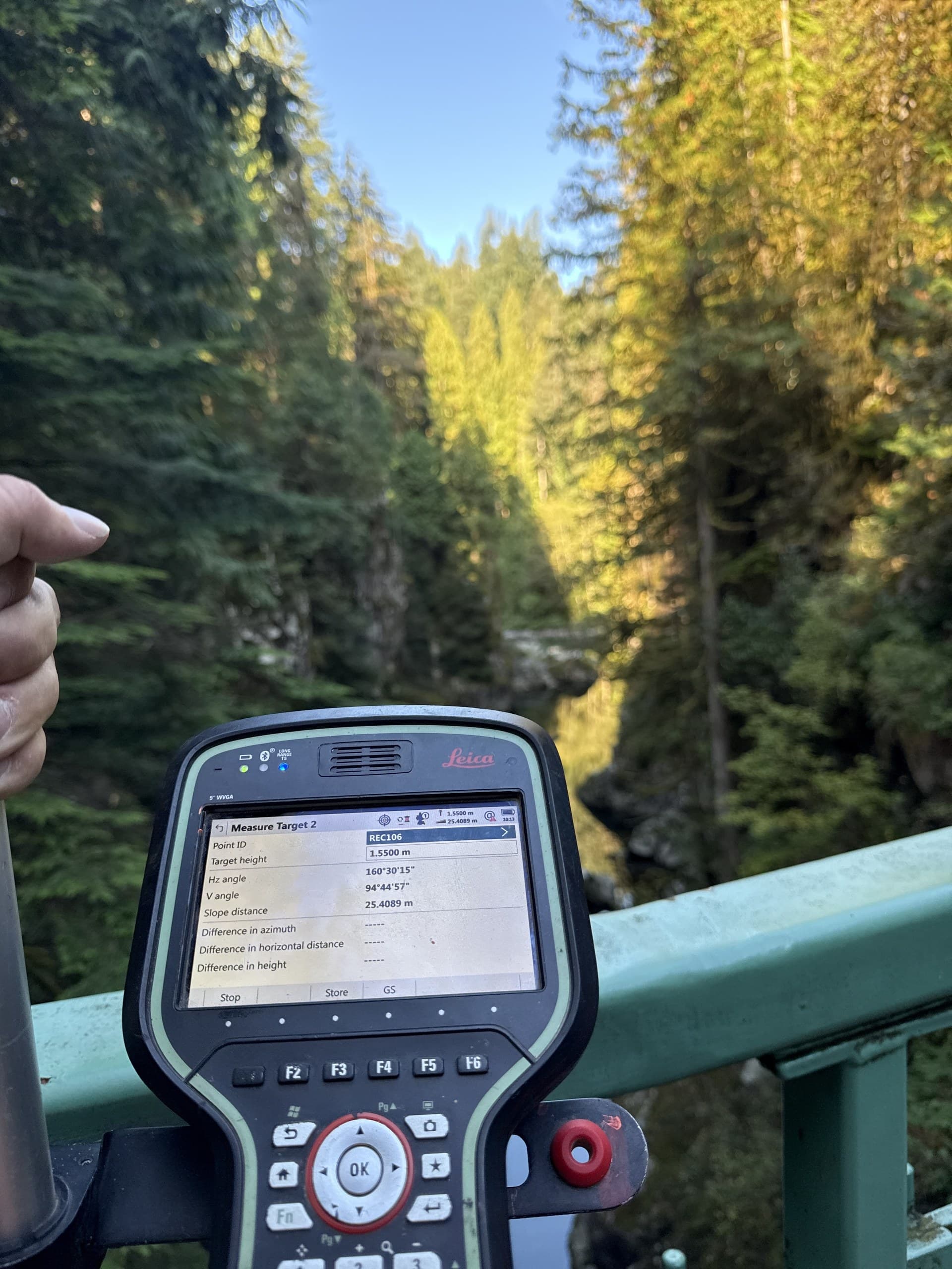
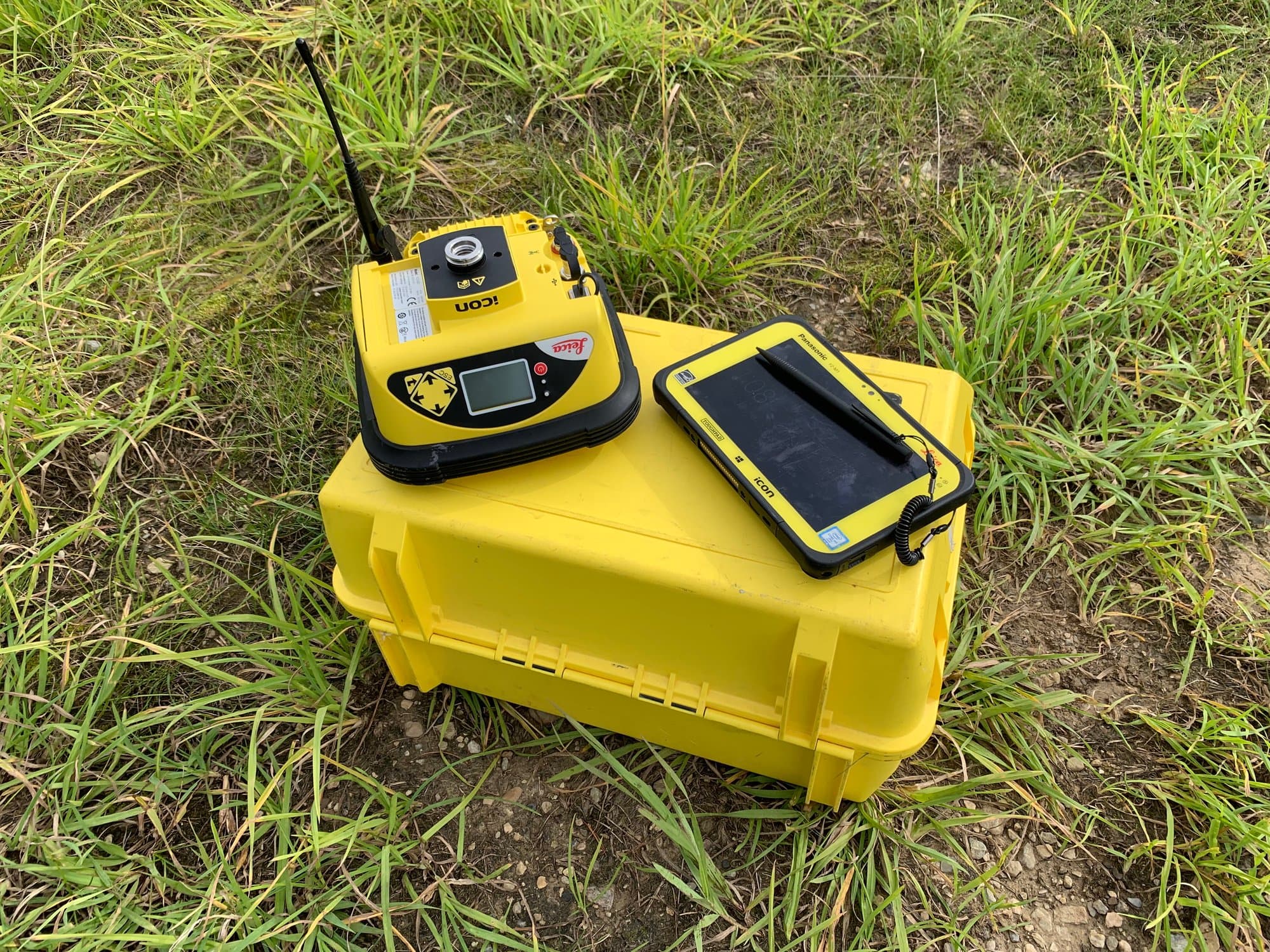
Vancouver Island Geomatics is a Courtenay-based geomatics company supporting construction and project teams throughout Vancouver Island. We provide construction surveying, topographic data, drone mapping, LiDAR and spatial information, collected carefully in the field and delivered in forms people can actually use.
Home base is the Comox Valley. It's where our crews start their mornings and where our own community is, and its Central Island position is what makes honest Island-wide coverage possible from a single base: north to Port Hardy, south to Greater Victoria, west over the Hump to Port Alberni.
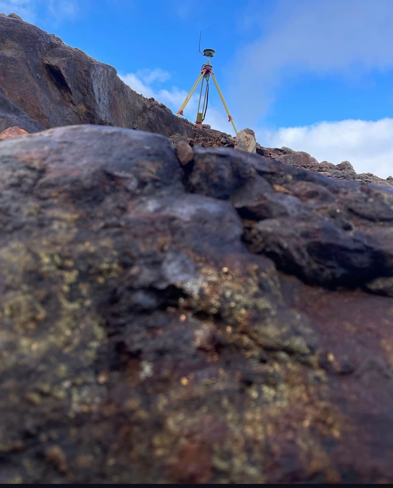
The work is guided by a simple idea: measurement is only worth what someone can build on it. So we sweat the unglamorous parts (control networks, datums, classification, documentation) because that's what makes a drawing trustworthy years after the crew has left the site. And we plan fieldwork around the Island's actual conditions, because rainforest canopy, coastal weather and logging-road access don't care what the schedule says.
Precision data. Local knowledge. Stronger communities. Smarter decisions. That's the whole pitch. The rest is fieldwork.
From the field
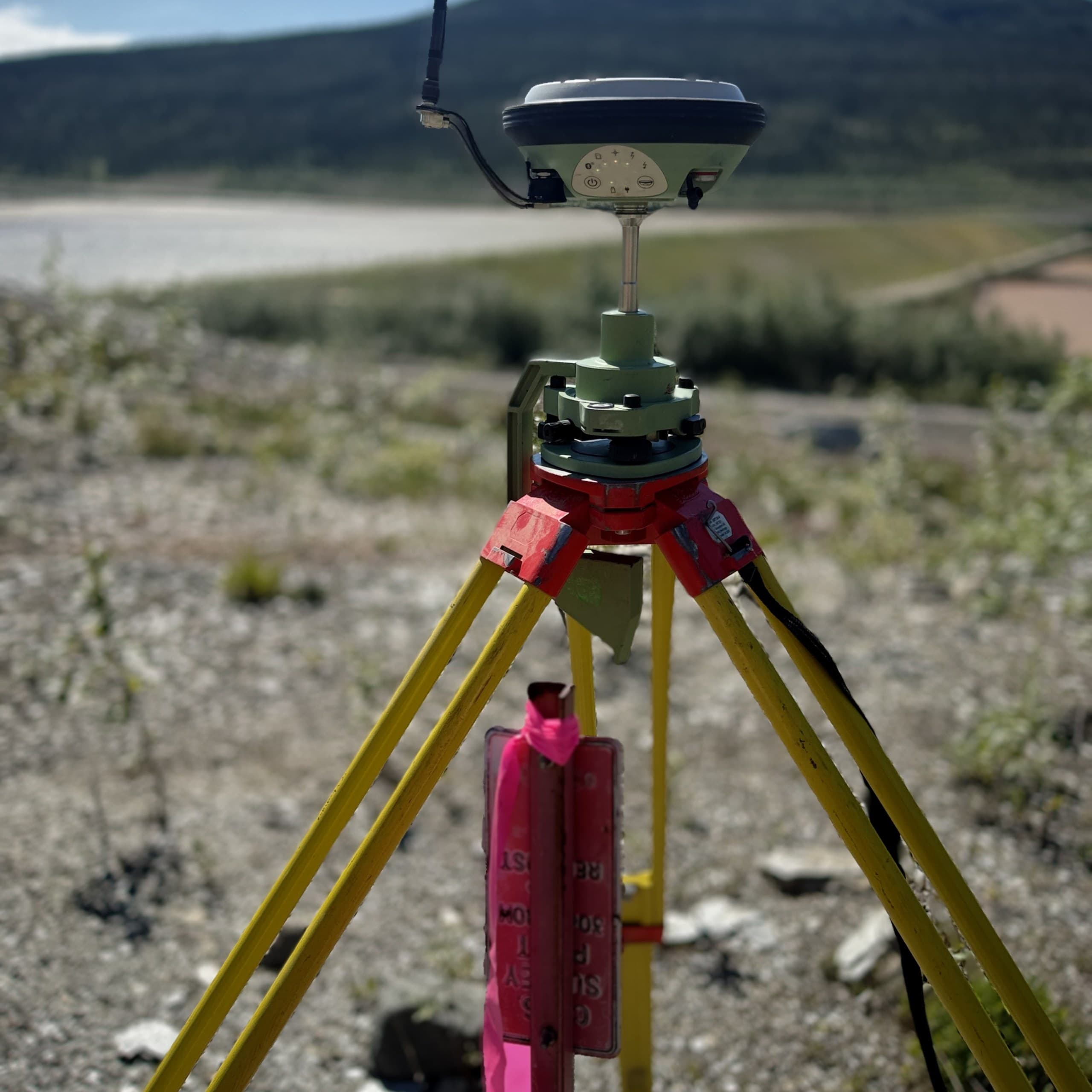
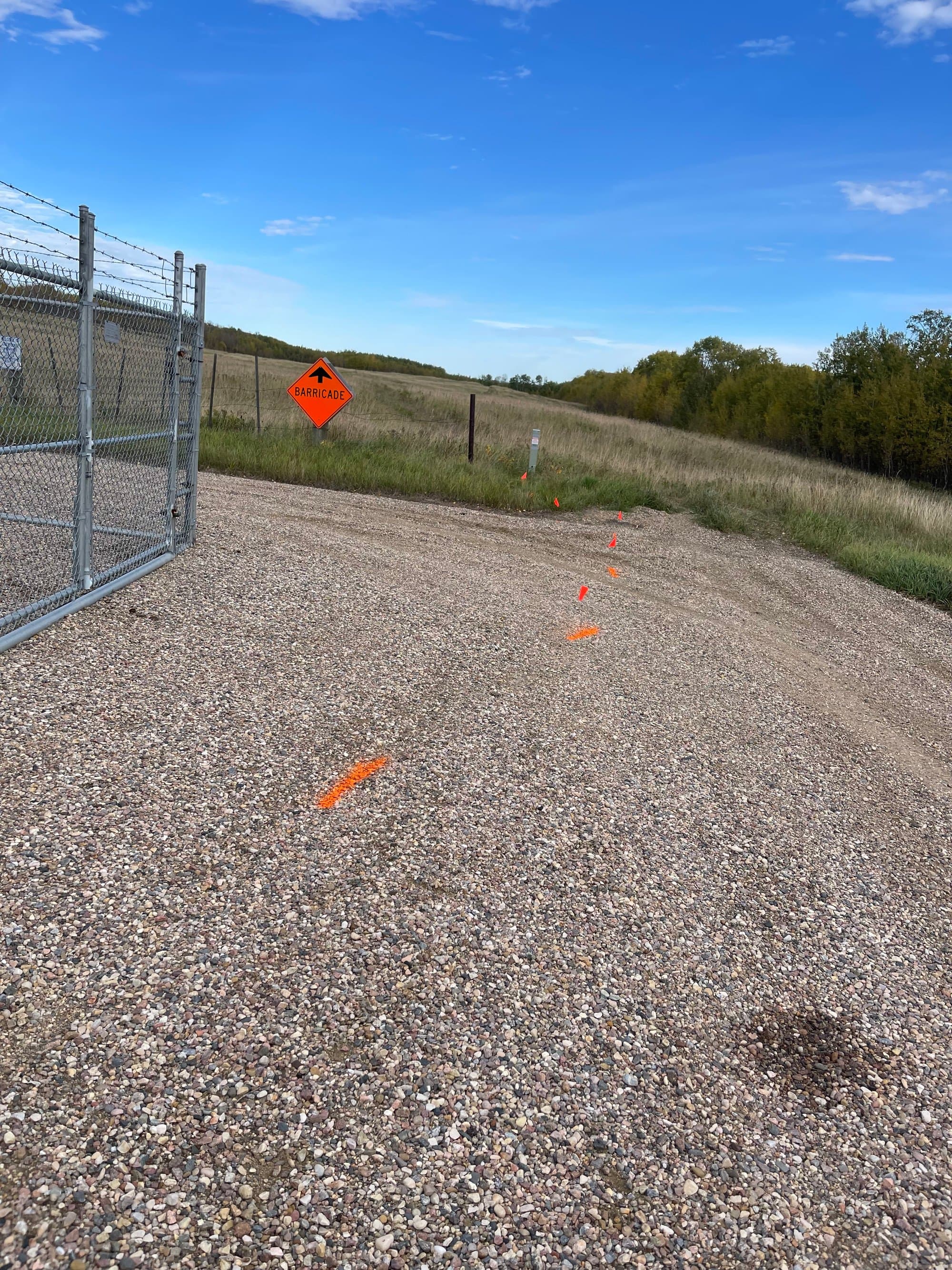
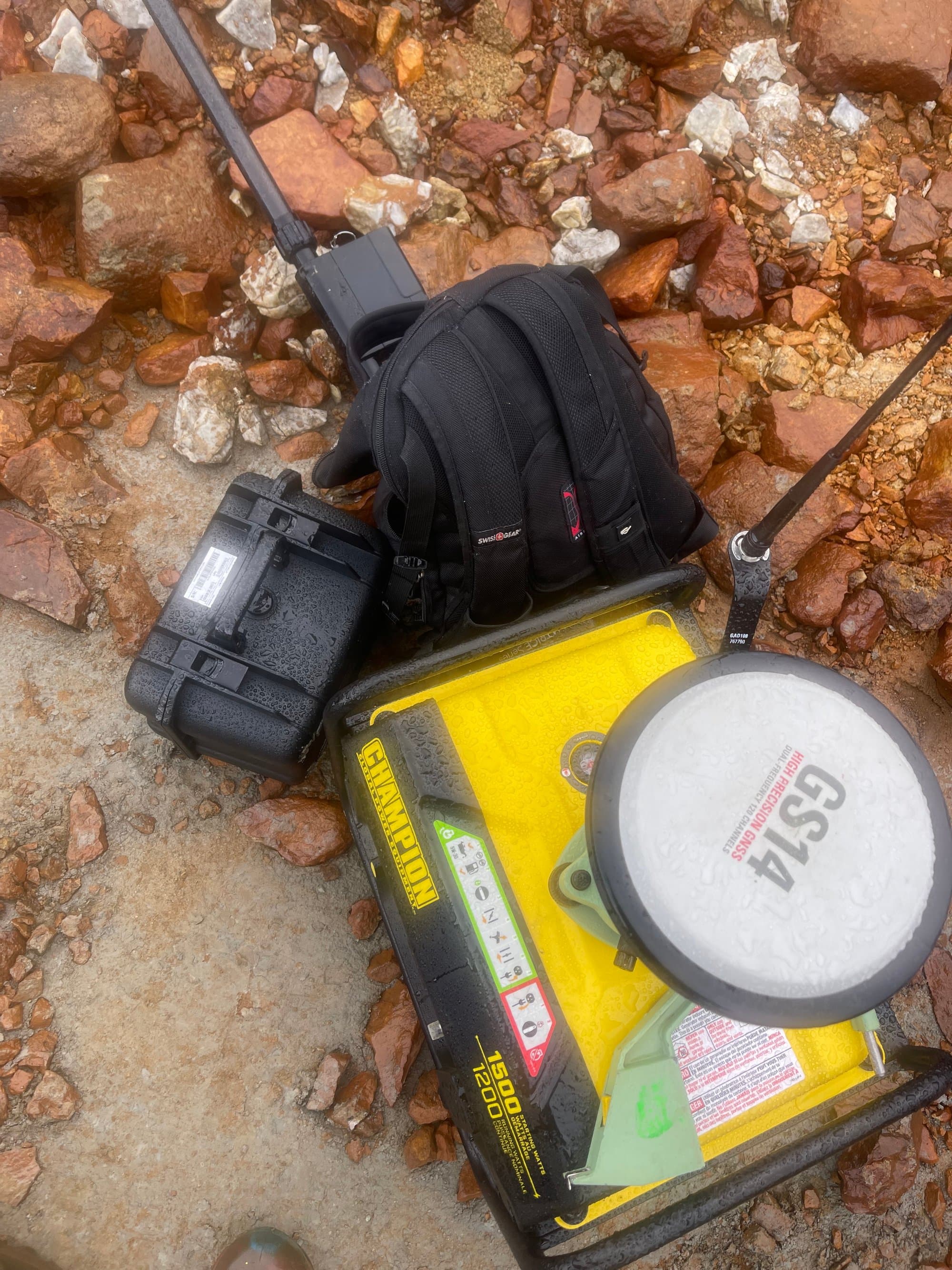
Based in Courtenay
A real home base in the Comox Valley. Not a service-area label on a map.
Serving Vancouver Island
From Greater Victoria to Port Hardy, with mobilizations planned honestly for the geography.
Field to finish
One team from control network to final deliverable, accountable for the whole chain.