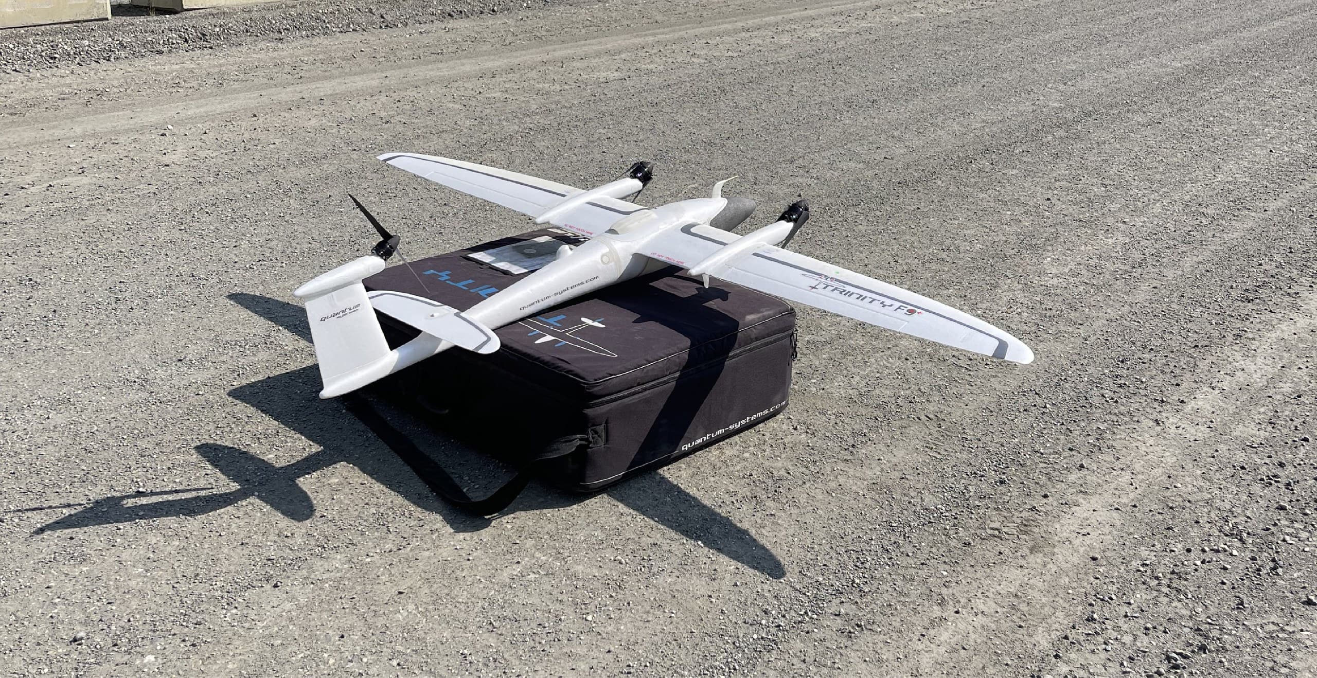
Photogrammetry · Surfaces · Volumes
Drone Mapping
A mapping drone turns an afternoon on site into a dataset: a measurable orthophoto, a dense 3D surface, and volumes computed from real geometry instead of estimates. For open sites, construction, pits, yards, cleared land. It's the most efficient measurement tool there is.
The difference between a pretty drone picture and survey-grade mapping is discipline: ground control, RTK positioning, calibrated processing and independent checks. We fly to survey standards because the numbers get used.
What a flight produces
- Orthophotos at 1–3 cm resolution (GeoTIFF)
- Dense point clouds and 3D surface models
- Contours and terrain surfaces for design
- Stockpile and cut/fill volumes
- Dated progress documentation through construction
Where it fits
Drone photogrammetry is the right tool for open, visible ground: active construction sites, gravel pits and quarries, laydown yards, subdivisions in earthworks, cleared land ahead of design. Where trees hide the ground, we'll tell you plainly. That's LiDAR territory, and we do that too.
Repeat flights, real programs
The best value often comes from rhythm: monthly progress flights, quarterly inventory volumes, before-and-after earthworks records, same control, same processing, genuinely comparable results.
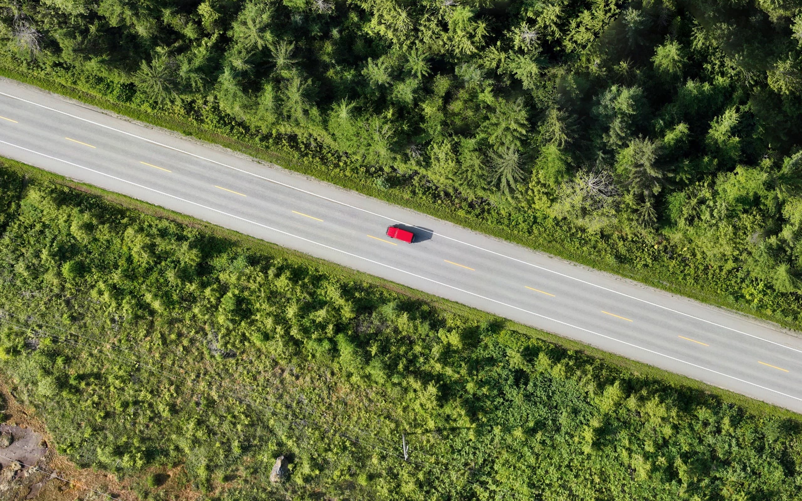
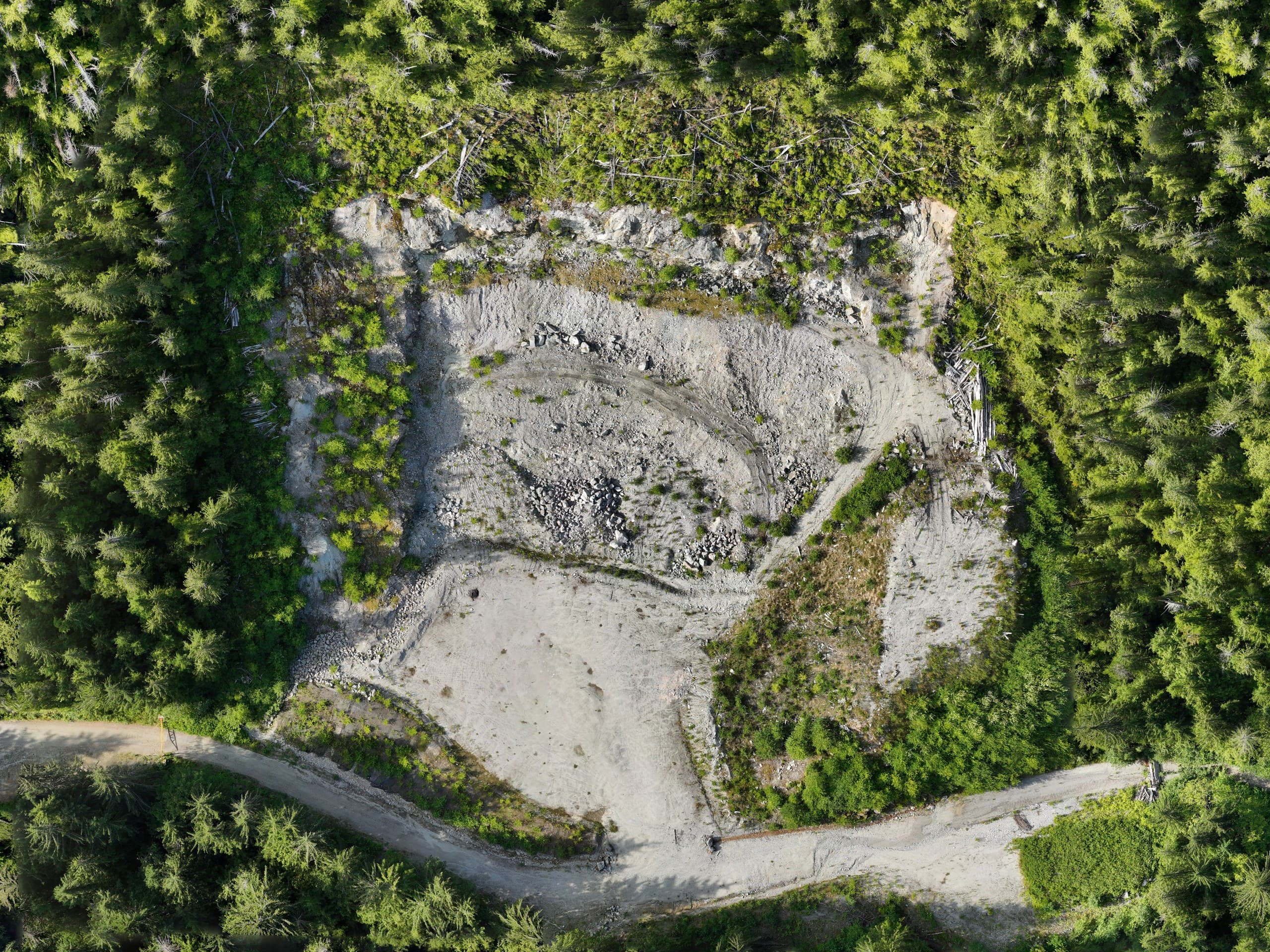
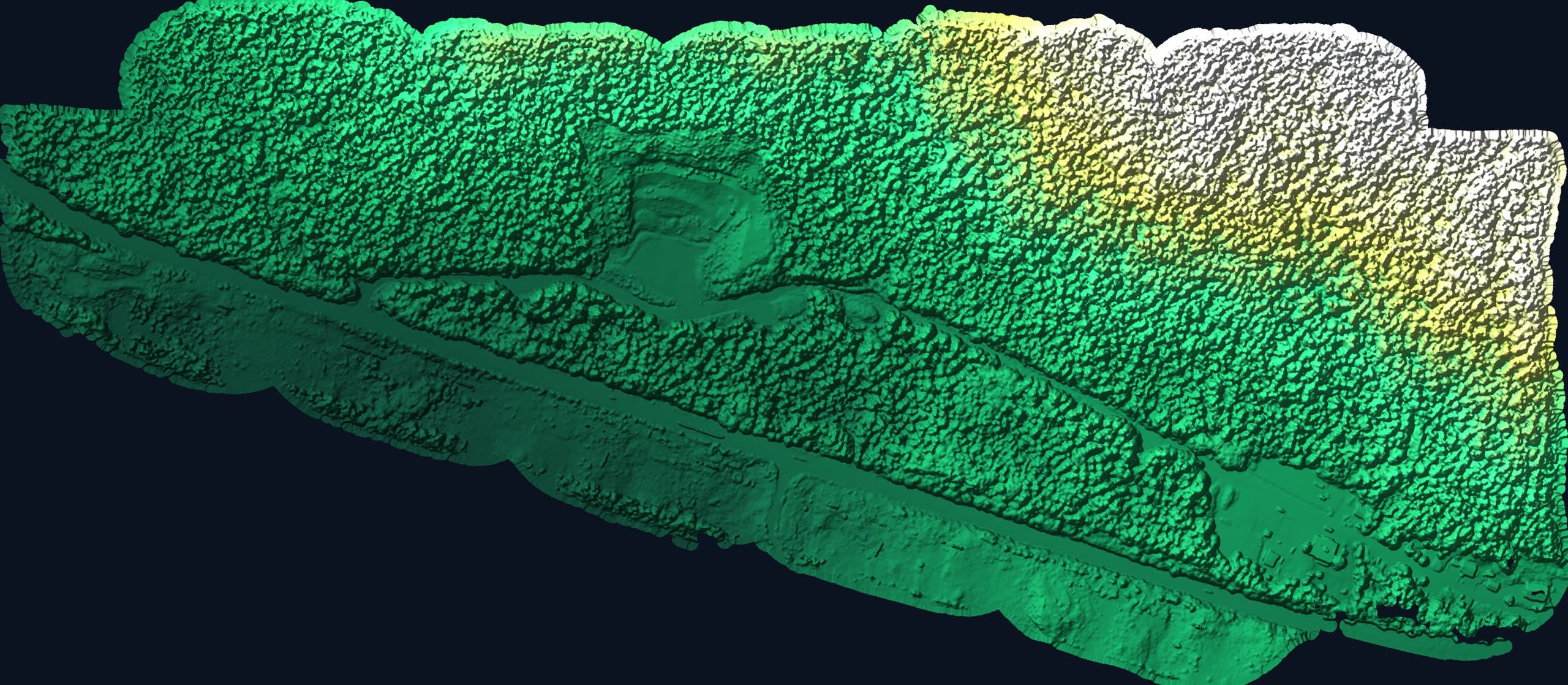
From a real flight
The data, not the brochure.
Deliverables
- GeoTIFF orthophoto
- Point cloud (LAS/LAZ)
- Surface model (DTM/TIN)
- Volume report
- Web-shareable imagery on request
Coverage
Available across Vancouver Island.
We fly across the Island from Courtenay, with proper airspace coordination where it matters (including the controlled airspace around CFB Comox/YQQ near our own home base), and weather planning that respects coastal flying windows.
Common questions
Are you certified to fly commercially?+
Yes, our drone operations run under Canadian RPAS regulations, with airspace authorization obtained wherever a site requires it. That coordination is part of the job, not your problem.
How accurate is drone mapping?+
With ground control and RTK positioning, centimetre-level on hard, visible surfaces, genuinely survey-grade for orthophotos, surfaces and volumes on open ground. On vegetated ground, photogrammetry measures what it can see, which is why we recommend LiDAR under canopy.
Related services
High-density point clouds and bare-earth terrain, even under vegetation.
OrthophotosMeasurable, georeferenced aerial imagery for planning and documentation.
Topographic SurveysAccurate existing-conditions data for design, planning and development.
Send us the scope.
Tell us what you need and where and we'll have pricing and a realistic schedule back within one business day.