The Working North Island
Surveying & Mapping in Port McNeill
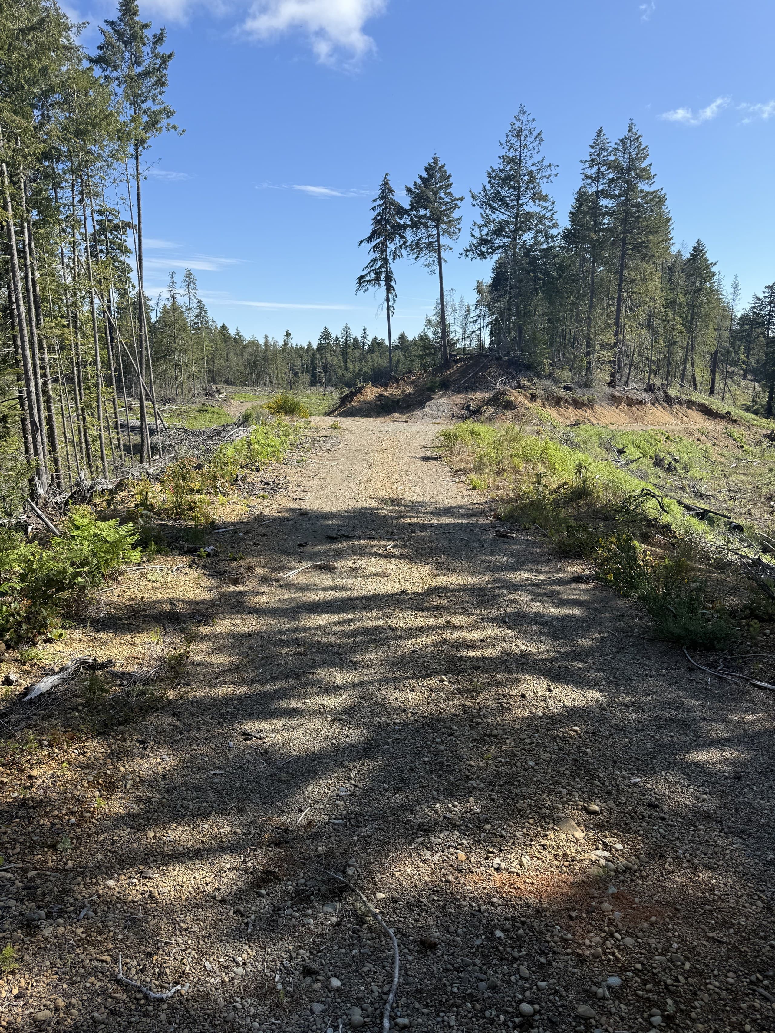
Port McNeill is a working town. A forestry service hub where the industrial yards outnumber the coffee shops and the road network that matters is mostly gravel. North Island projects out of Port McNeill lean industrial and remote: resource infrastructure, large forested blocks, and sites where the access plan is half the project plan.
This is terrain we plan for deliberately. Fieldwork this far north gets organized into efficient multi-day mobilizations from our Courtenay base, weather-watched, radio-equipped and scoped so that when a crew is on the ground, everything that needs measuring gets measured.
North Island project environments
The realities our Port McNeill work is built around:
Forestry & resource land
Large-area topographic and LiDAR mapping on active tenure, with road-use protocols and seasonal access planned in advance.
Industrial sites & yards
As-builts and site surveys for the equipment yards, shops and infrastructure that keep the North Island working.
Remote & water-access parcels
Projects reached by logging road, barge or boat, scoped honestly, mobilized once, measured thoroughly.
Community infrastructure
Survey support for municipal and community projects in town and the surrounding villages.
What we deliver here
Drone LiDAR
The workhorse for North Island terrain, bare earth through heavy coastal forest.
About this service →Topographic Surveys
Large-parcel existing conditions, built from combined air and ground measurement.
About this service →Orthophotos
Current imagery of large blocks and sites, often the deliverable remote stakeholders use most.
About this service →Planned mobilizations, not day trips
We won't pretend Port McNeill is around the corner. It's a deliberate run north, and we treat it that way. Projects here get bundled into planned mobilizations with weather float, so the trip produces finished data rather than a reason to come back.
Common questions
How do you handle the travel for North Island projects?+
Honestly and in the quote. North Island work is scheduled as planned mobilizations, often multi-day, so travel cost is spread across real production. Where we can pair your project with other northern work, we do, and the pricing reflects it.
Can you map large forested blocks near Port McNeill?+
Yes. That's core drone-LiDAR territory. Large vegetated blocks are flown for bare-earth surfaces and contours, with ground verification, at a fraction of the time conventional methods would need.
Do you work on active resource roads?+
Yes. Radio protocols, road permissions and check-in procedures are standard practice for our northern fieldwork.
Nearby service areas
Ready when you are.
Send the site location and scope, we'll reply within one business day with pricing and a realistic schedule.