★ Home Base, Comox Valley
Construction surveying & geomatics in Courtenay & the Comox Valley
Based in Courtenay, Vancouver Island Geomatics provides construction surveying, topographic data, drone mapping, LiDAR and geospatial services for projects throughout the Comox Valley and Vancouver Island.
This is where we live.
Vancouver Island Geomatics is based in Courtenay, BC. Our crews work out of the Comox Valley every day, which means valley projects get home-field scheduling, home-field knowledge and home-field accountability. We drive past our work here. We build our own community on it.
It also means we know this ground the way only locals do: which neighbourhoods sit on river-influenced soils, where the bench lands break, what the canopy does to satellite coverage on the west side, and when the weather actually lets a drone fly.
- Home base
- Courtenay, BC
- Coverage
- All of Vancouver Island
- Phone
- (778) 716-8885
Construction Surveying in Courtenay
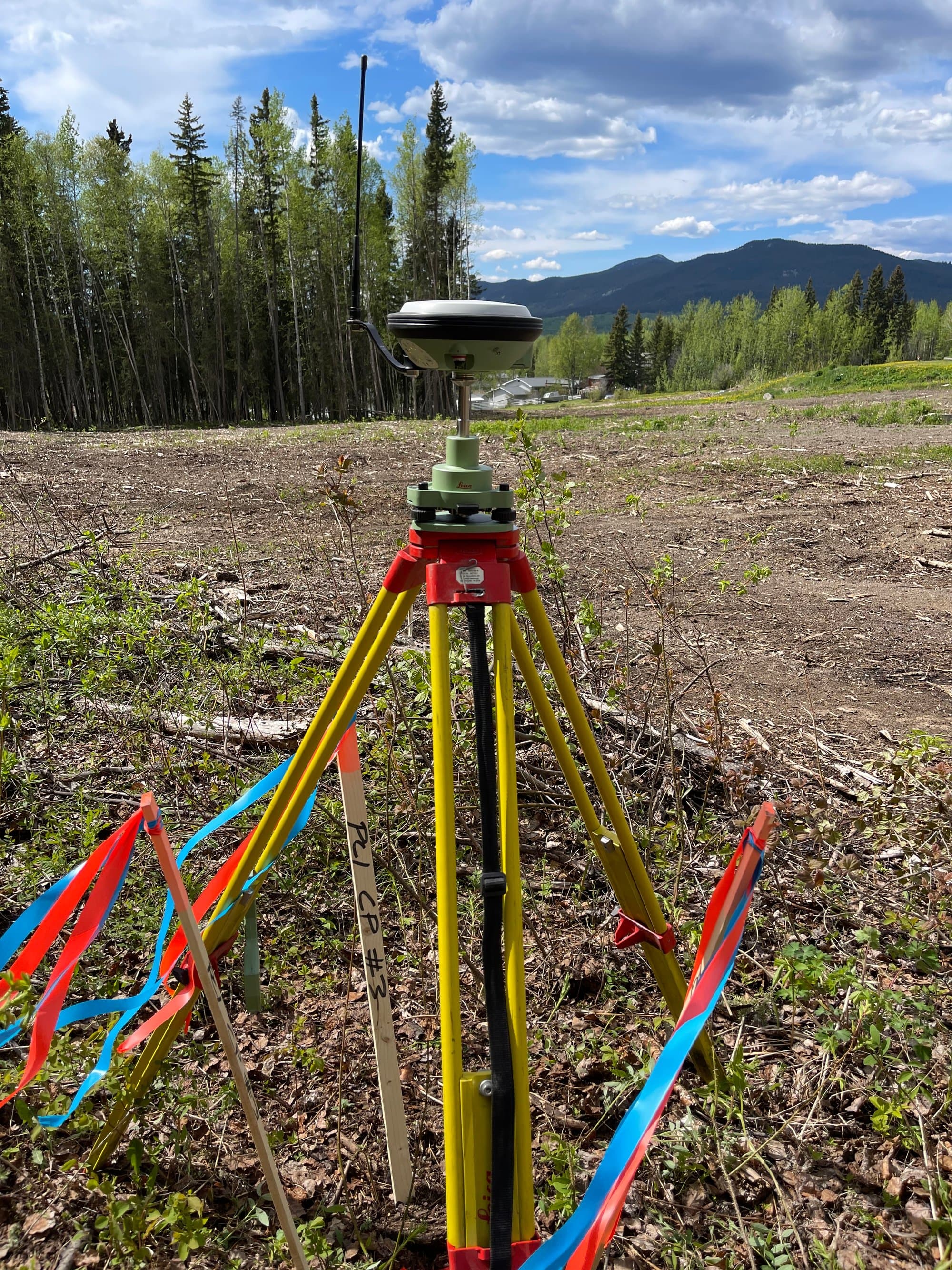
From subdivision servicing on the valley floor to custom builds on the hillsides, we provide control, layout, grades and as-builts for Comox Valley construction. Being based here means construction support without mobilization math, when your excavator hits an unexpected condition, the crew that set your control is minutes away, not booked across the Island.
- Site layout, gridlines and anchor bolts
- Grade stakes and cut sheets
- As-built surveys before backfill
Topographic & Existing-Conditions Data
The Comox Valley's ground runs from estuary flats to bench lands to forested slopes, often on one property. Our topographic surveys capture that variety honestly: drone surfaces over open ground, ground shots under canopy, and elevations tied to proper datums so drainage and siting decisions hold up.
- Design-ready DWG base plans
- Surfaces, contours and breaklines
- Riverside and low-lying land elevation work
Drone Mapping & LiDAR
Larger valley properties, gravel operations and forested parcels get mapped from the air, orthophotos and surfaces from photogrammetry on open sites, LiDAR where the timber hides the ground. Flights near CFB Comox and YQQ airspace are coordinated and authorized as part of the plan, not an afterthought.
- Orthophotos current to the day flown
- Bare-earth LiDAR under canopy
- Stockpile and earthworks volumes
Comox Valley Ground
Project environments we know by heart.
Valley-floor development
Subdivisions and infill across Courtenay's growing neighbourhoods, where river-adjacent ground makes accurate elevations genuinely consequential.
Hillside & bench lands
Sloped builds with real grading plans, the kind of sites where a weak topo turns into change orders.
Rural & agricultural land
Acreages, farms and working rural properties from Merville to the back roads, mapped at the right level of detail.
Rivers & estuary edges
Properties along the Courtenay, Puntledge and Tsolum systems and the K'ómoks Estuary, where datum-correct elevations matter for every decision.
Commercial & civil corridors
Layout and as-builts along the highway and arterial corridors serving the valley's commercial growth.
Recreation & upland terrain
From valley bottom toward the Mount Washington road, terrain that rewards choosing the right sensor before the crew rolls.
What you receive
Courtenay projects get the same disciplined deliverables as everything we produce: CAD drawings (DWG/DXF), PDF plans, orthophotos (GeoTIFF), point clouds (LAS/LAZ), surfaces, volumes and GIS-ready layers, organized, documented and tied to real coordinate systems.
Explore all services →Our Vancouver Island reach
Home base is here, but the work ranges: north through Campbell River to Port Hardy, south through Nanaimo to Greater Victoria, west to Port Alberni. Courtenay's Central Island position is exactly why Island-wide coverage works from a single base.
All service areas →Courtenay questions
Are you actually based in Courtenay?+
Yes, Courtenay is our home base, not a service-area label. Our crews, equipment and operations run from here in the Comox Valley, and Courtenay-area projects get the fastest scheduling we offer.
How fast can you get to a Comox Valley site?+
Faster than anywhere else we work, local sites don't carry mobilization planning. For urgent needs like a layout check or a pre-backfill pickup, call us; if there's a way to fit it into the week, we will.
Do you handle small residential jobs, or only large projects?+
Both. Home-base economics make smaller local work viable: single-lot topos, foundation layouts and renovation surveys are a regular part of our Courtenay schedule alongside larger civil and development projects.
Can you support a project from first survey through final as-built?+
Yes. That's the ideal way to work. One provider from topo through layout to as-built means one control network, one coordinate basis and no data handoffs between phases. For Comox Valley projects it also means the same local crew throughout the build.
Can you fly drones anywhere in the valley?+
Nearly, with planning. Parts of the valley sit in controlled airspace around CFB Comox and the airport, so flights there are coordinated and authorized in advance. It's routine for us; it just needs to be scheduled rather than improvised.
Building in the Comox Valley?
Tell us the site and the scope, home-base scheduling means we're usually closer than you think.