Existing Conditions · Design-Ready
Topographic Surveys
Every good design starts from an honest picture of the ground. Our topographic surveys capture a site as it actually exists, terrain, features, structures and visible services, and deliver it as data your designer can build on immediately.
On Vancouver Island, 'the ground' is rarely simple: canopy, slopes, rock and water complicate both the measuring and the mapping. We build each survey from the right mix of methods for the site in front of us.
What we capture
A complete existing-conditions picture, scoped to what your project actually needs:
- Ground elevations, breaklines and contours
- Buildings, structures and hard surfaces
- Visible utilities and drainage features
- Vegetation limits and significant trees
- Watercourses, banks and shorelines
Air and ground, combined honestly
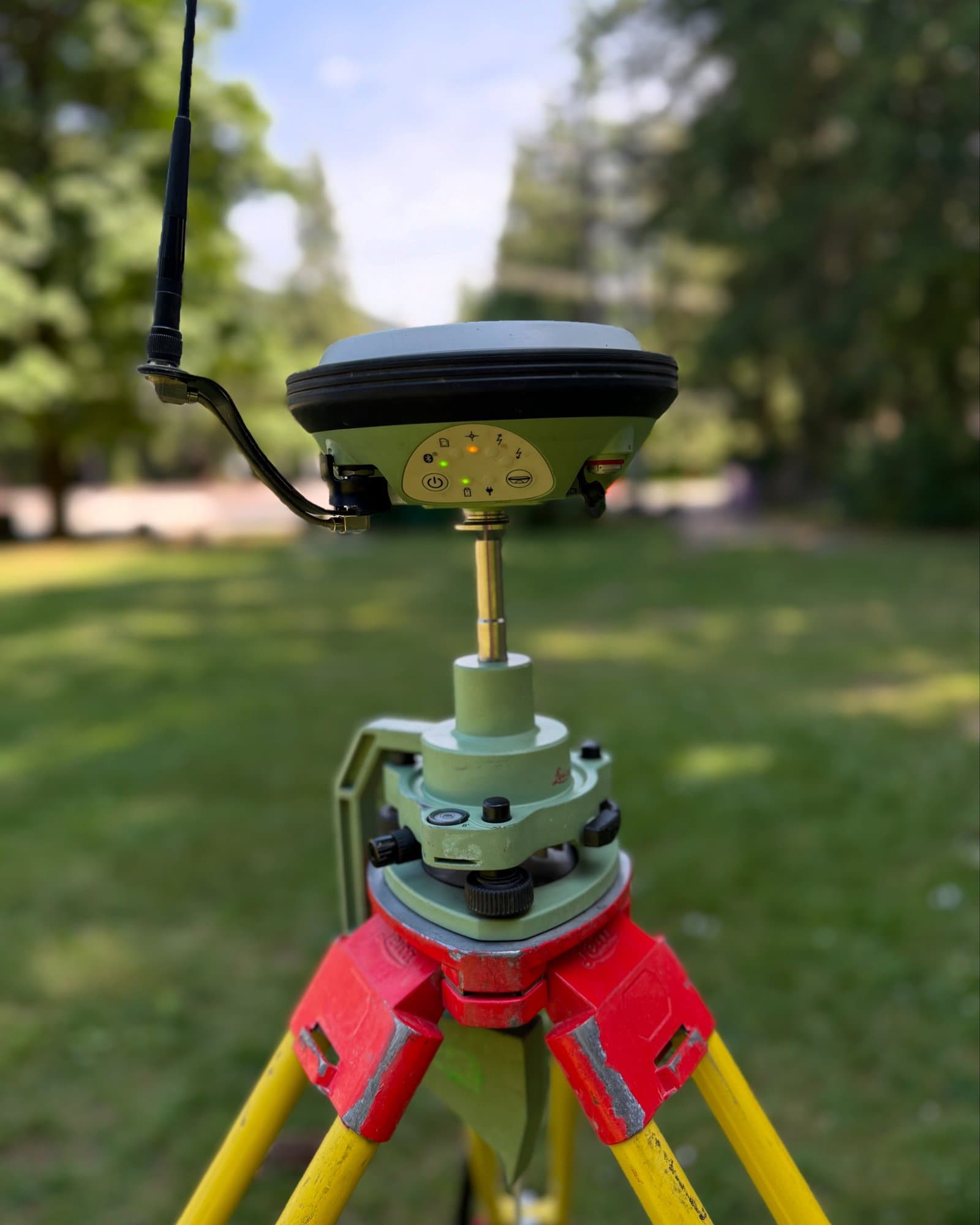
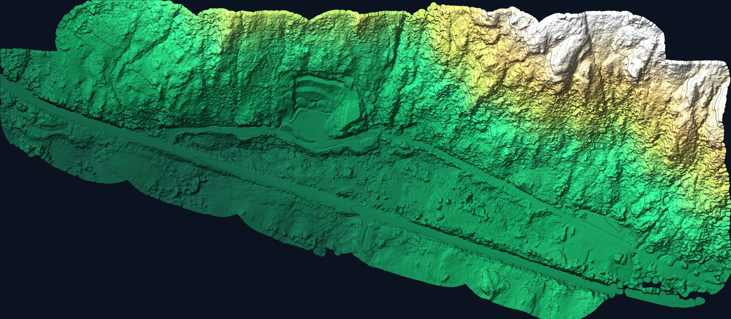
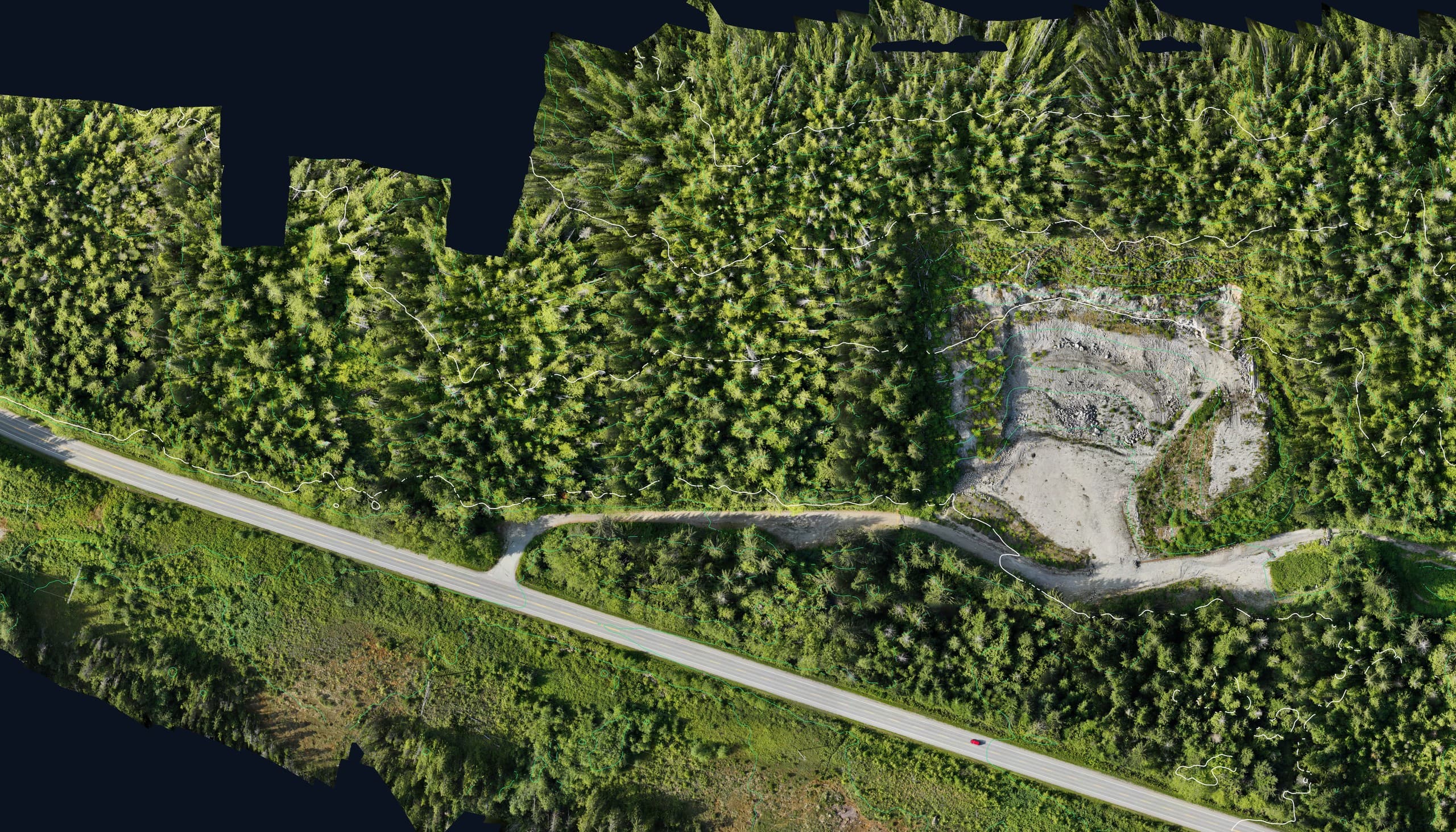
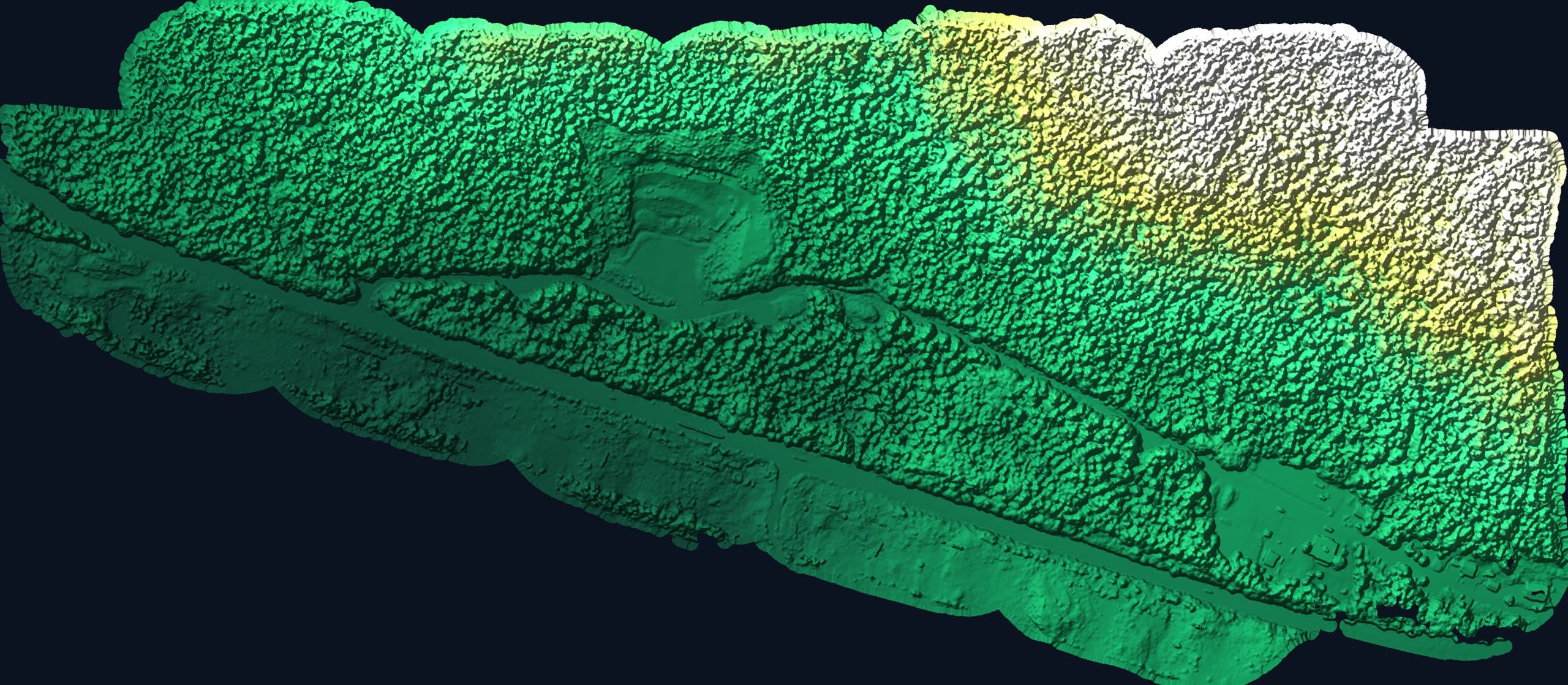
Open ground gets flown, dense, fast, photographic. Canopy and structure edges get measured directly with GNSS and total station. Heavily treed parcels get LiDAR so the surface is the ground, not the treetops. Most Island sites need the blend, and knowing the split is a local skill.
Tied to real datums
Every survey is delivered on a defined coordinate system and vertical datum, documented in the deliverable, so design, layout and as-built all live on the same basis for the life of the project.
From a real flight
The data, not the brochure.
Deliverables
- CAD base plan (DWG/DXF)
- Ground surface (TIN/DTM)
- Contours at specified interval
- PDF plan sheets
- Orthophoto where flown (GeoTIFF)
Coverage
Available across Vancouver Island.
From single lots in the Comox Valley to hundred-acre rural parcels in the Cowichan Valley and resource land north of Campbell River, we scope topographic work across the Island from our Courtenay base, with the method matched to the terrain, not the other way around.
Common questions
How much does a topographic survey cost?+
It scales with area, terrain, vegetation and the detail your design needs. A cleared half-acre lot and a forested forty-acre parcel are different jobs. Send the property location and your project intent and we'll quote it properly within a business day.
Can you match a previous survey or engineer's datum?+
Yes, provide the previous data or the engineer's basis and we'll deliver on the same system, which is exactly what keeps multi-phase projects consistent.
Related services
Fast, accurate aerial mapping for sites of any size.
Drone LiDARHigh-density point clouds and bare-earth terrain, even under vegetation.
Construction SurveyingSite layout, gridlines, grades and control that keep crews building, not waiting.
Send us the scope.
Tell us what you need and where and we'll have pricing and a realistic schedule back within one business day.