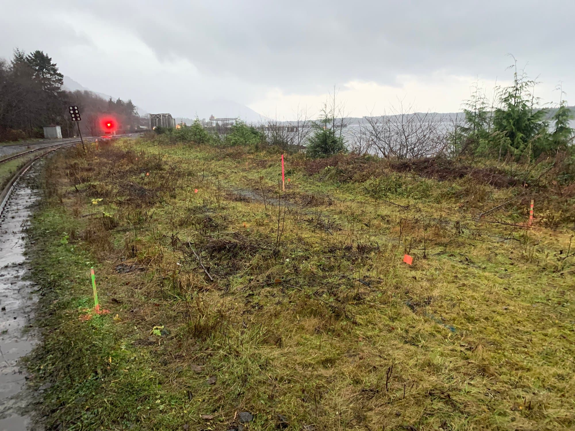
Gateway to the North Island
Surveying & Geomatics in Campbell River
Campbell River is where the Island changes character. South of town it's highway, subdivisions and services; north and west it's working resource country, forestry roads, hydro infrastructure and coastline that gets remote fast. Surveying here spans both worlds, often in the same week.
From our Courtenay base, Campbell River is a straightforward run up Highway 19, close enough for single-day fieldwork, which matters on a coast where weather windows decide when the work actually happens.
Campbell River project environments
The work here concentrates in settings that reward field experience:
Civil & municipal works
Road, utility and servicing projects through a growing community, layout, grade control and as-built records for acceptance.
Industrial & hydroelectric vicinity
Industrial sites and infrastructure corridors around the Campbell River system, where safety protocols and coordination come standard.
Resource & forestry land
Topographic and LiDAR mapping on active forestry tenure, radio-controlled roads, gates and seasonal access all planned in advance.
Coastal & foreshore
Marine-adjacent projects from the harbour north, where tide planning and datum control keep elevations honest.
What we deliver here
Drone LiDAR
Bare-earth terrain through the heavy second-growth that surrounds most large sites north of town.
About this service →Construction Surveying
Layout and as-builts for civil, commercial and residential construction across the city.
About this service →Topographic Surveys
Design-ready existing conditions, from tight urban lots to large rural and resource parcels.
About this service →Drone Mapping
Orthophotos, surfaces and volumes for pits, yards and large-area sites.
About this service →North Island fieldwork, Central Island base
Campbell River is also our staging point for work further north. Sayward, the logging road network, and projects that end where the pavement does. A Courtenay base means North Island mobilizations start closer than they would from anywhere south of us.
Common questions
Do you work on sites accessed by logging roads?+
Yes. A good share of our northern work is on active forestry roads. Our crews carry radios, follow road-use protocols, and plan access (gates, hours, deactivations) before mobilizing, so site days are spent working rather than negotiating access.
Can you map large or remote parcels near Campbell River?+
That's exactly what drone LiDAR is for. Large vegetated parcels that would take a ground crew weeks can be flown and delivered as bare-earth surfaces, contours and orthophotos, with ground checks to verify accuracy.
Do you support ongoing construction projects in Campbell River?+
Yes. For active projects we schedule recurring layout and as-built visits, and because we're under an hour away, weather reschedules and short-notice calls are manageable rather than expensive.
Nearby service areas
Ready when you are.
Send the site location and scope, we'll reply within one business day with pricing and a realistic schedule.