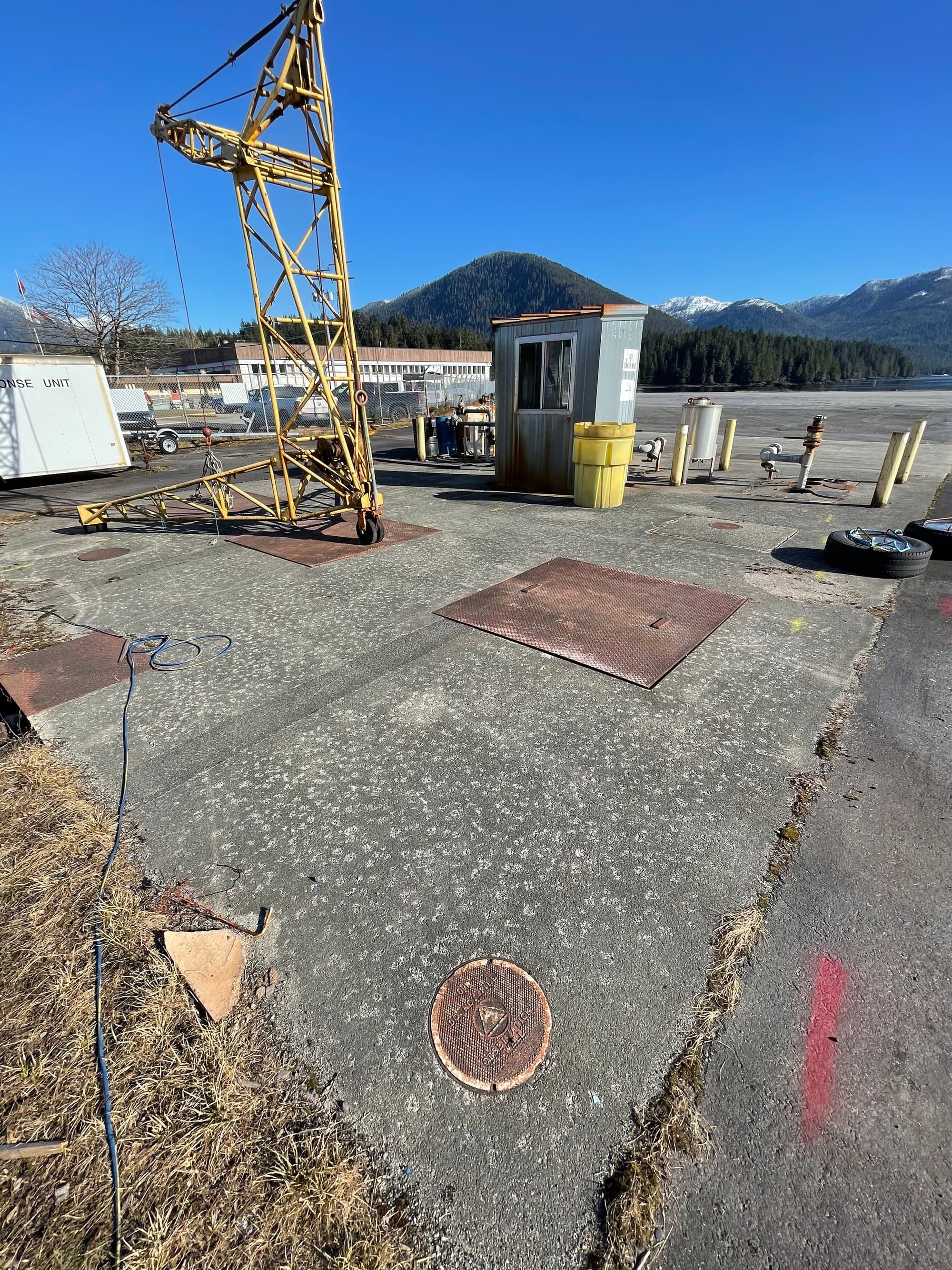
Where the Highway Ends
Surveying in Port Hardy & the Far North Island
Port Hardy is the end of the road, literally. Highway 19 stops here, and everything beyond moves by boat, floatplane or logging road. The town anchors the far North Island: an airport, a ferry terminal with sailings up the coast, working docks, and the staging point for some of the most remote country on Vancouver Island.
Surveying at this end of the Island is about logistics as much as measurement. Coastal weather rules the calendar, the distances are real, and a crew that arrives unprepared gets a scenic drive and no data. We scope Port Hardy work with the access plan first, then the instruments earn their ride.
Far North project environments
What work looks like at the top of the Island:
Coastal & marine-adjacent
Docks, foreshore and waterfront infrastructure where tide windows and salt-air logistics shape the fieldwork.
Airport & transportation lands
Survey support around the airport and ferry-terminal infrastructure that keeps the North Coast connected.
Remote parcels & staging-out work
Projects beyond road's end, reached by water or air, scoped for single thorough mobilizations.
Aquaculture & resource support
Mapping and measurement for the working industries of the northern coast.
What we deliver here
Drone Mapping
Rapid site capture that makes the most of every weather window this far north.
About this service →Drone LiDAR
Terrain through the coastal forest that covers nearly everything up here.
About this service →Topographic Surveys
Existing conditions for coastal, community and industrial sites.
About this service →The far end of our coverage: covered properly
Port Hardy marks the northern end of our Island coverage, and we treat far-north projects with respect for the distance: bundled scopes, weather float, and honest quotes that price one good mobilization instead of three bad ones.
Common questions
Is Port Hardy really within your service area?+
Yes. It's the northern end of it. We schedule far-north work as planned multi-day mobilizations from Courtenay. What we won't do is pretend it's a casual day trip; the quote and schedule reflect the real geography.
Can you reach sites beyond the road network?+
Case by case, yes, water- and air-access projects are scoped individually around charter logistics and weather. The key is bundling the work so one mobilization captures everything.
How does coastal weather affect scheduling up north?+
It's the main variable. We watch forecast windows, build float into northern schedules, and communicate early when a window moves. On the North Coast, pretending weather doesn't exist is the expensive strategy.
Nearby service areas
Ready when you are.
Send the site location and scope, we'll reply within one business day with pricing and a realistic schedule.