Measurable Aerial Imagery
Orthophotos
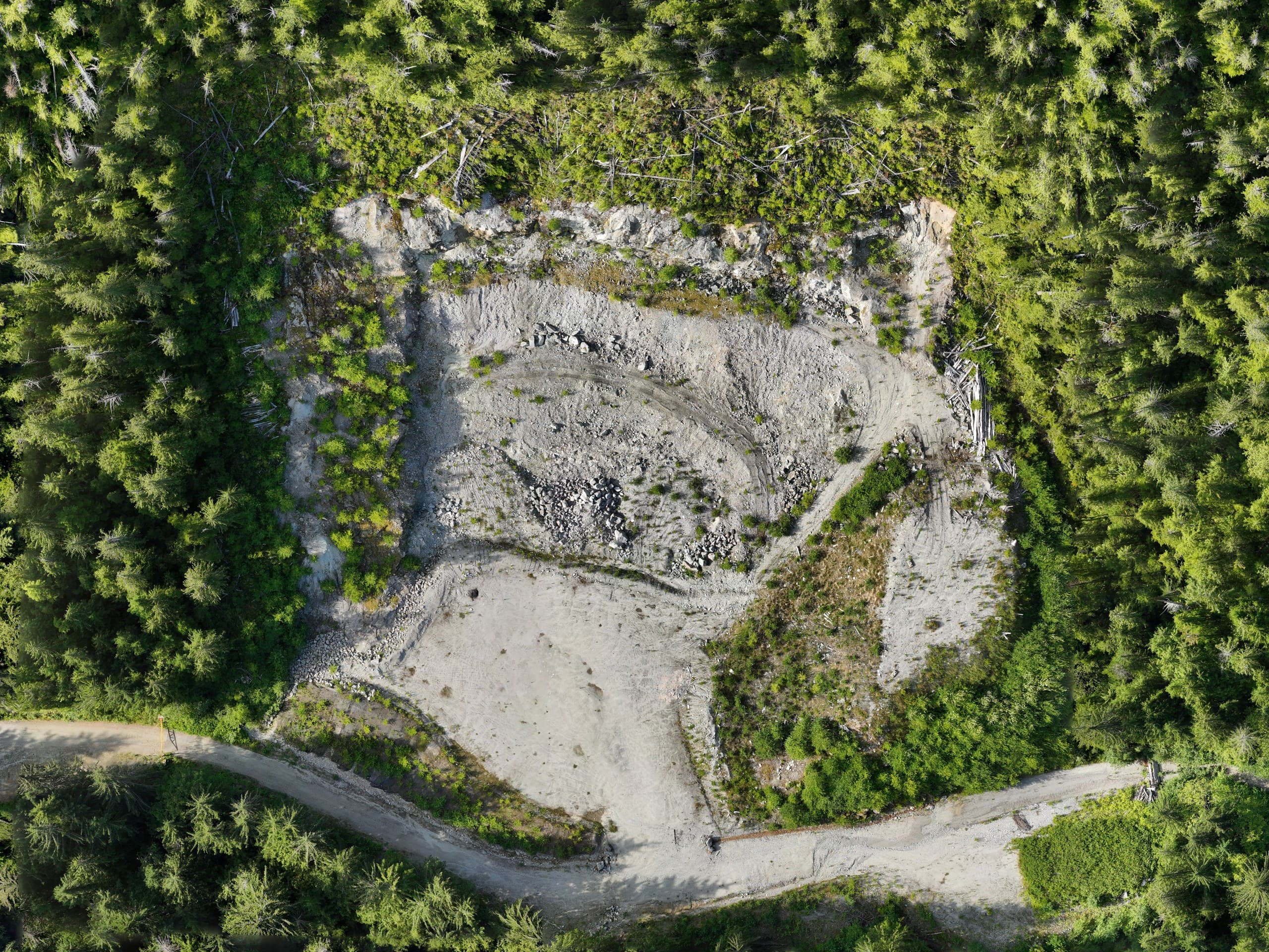
An orthophoto is an aerial image corrected to work like a map: uniform scale, true positions, ready to measure and overlay in CAD or GIS. It's frequently the deliverable a whole project team uses most, because everyone can read a photograph.
Web-map satellite imagery is years old and soft; a drone orthophoto is centimetre-sharp and current to the day it was flown. For active sites and real decisions, there's no comparison.
What teams do with them
- Overlay design linework on real current conditions
- Document construction progress with dated, measurable records
- Plan access, staging and logistics from the truth on the ground
- Support applications, referrals and community communication
- Maintain a visual record that settles questions later
Built to survey standards
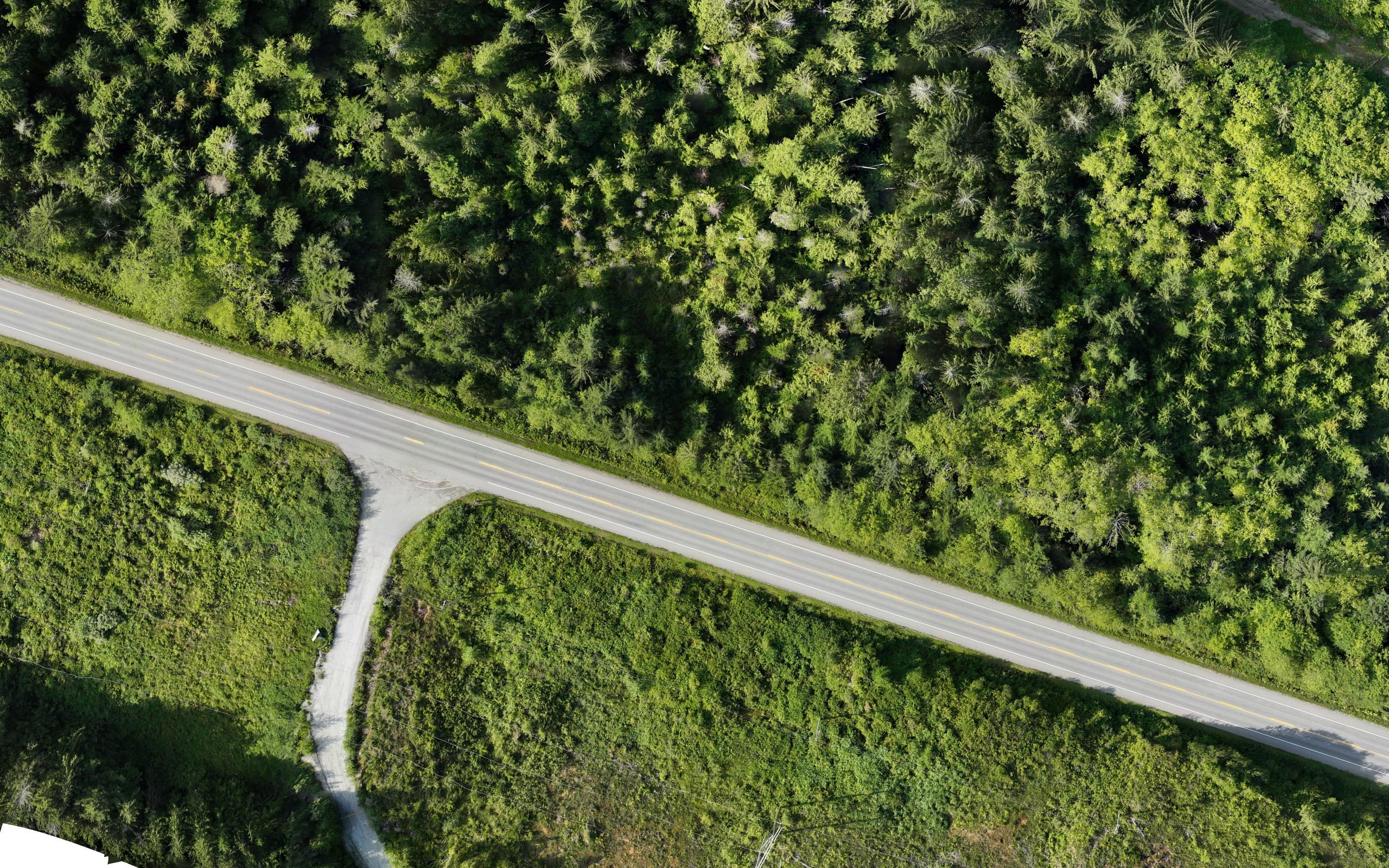
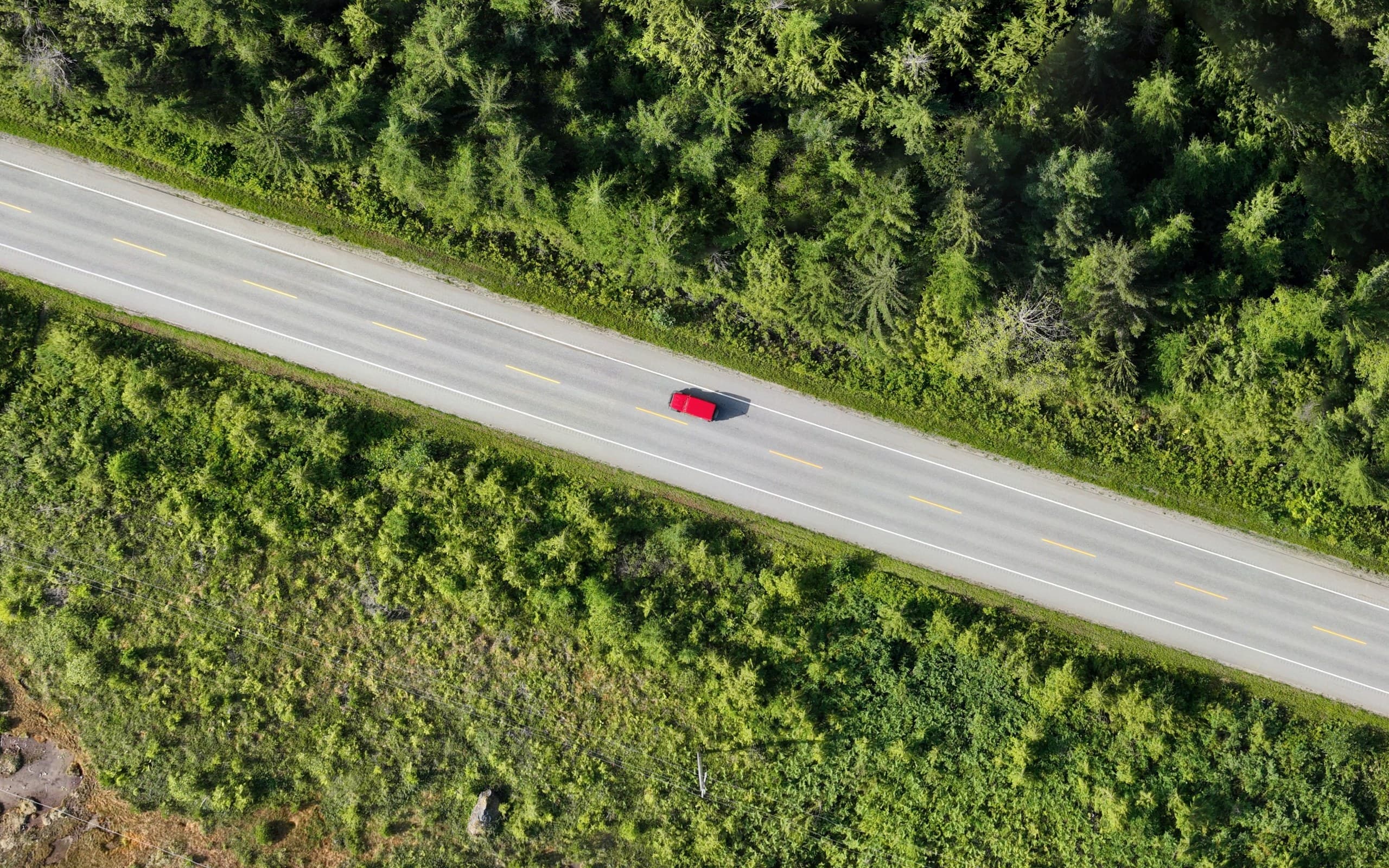
Our orthophotos come from controlled flights, ground control and RTK positioning, calibrated processing, and alignment to your project coordinate system, so the image drops into CAD exactly where the site is. Typical resolution runs 1–3 cm per pixel: sharp enough to see valves, formwork and paint.
One flight, several products
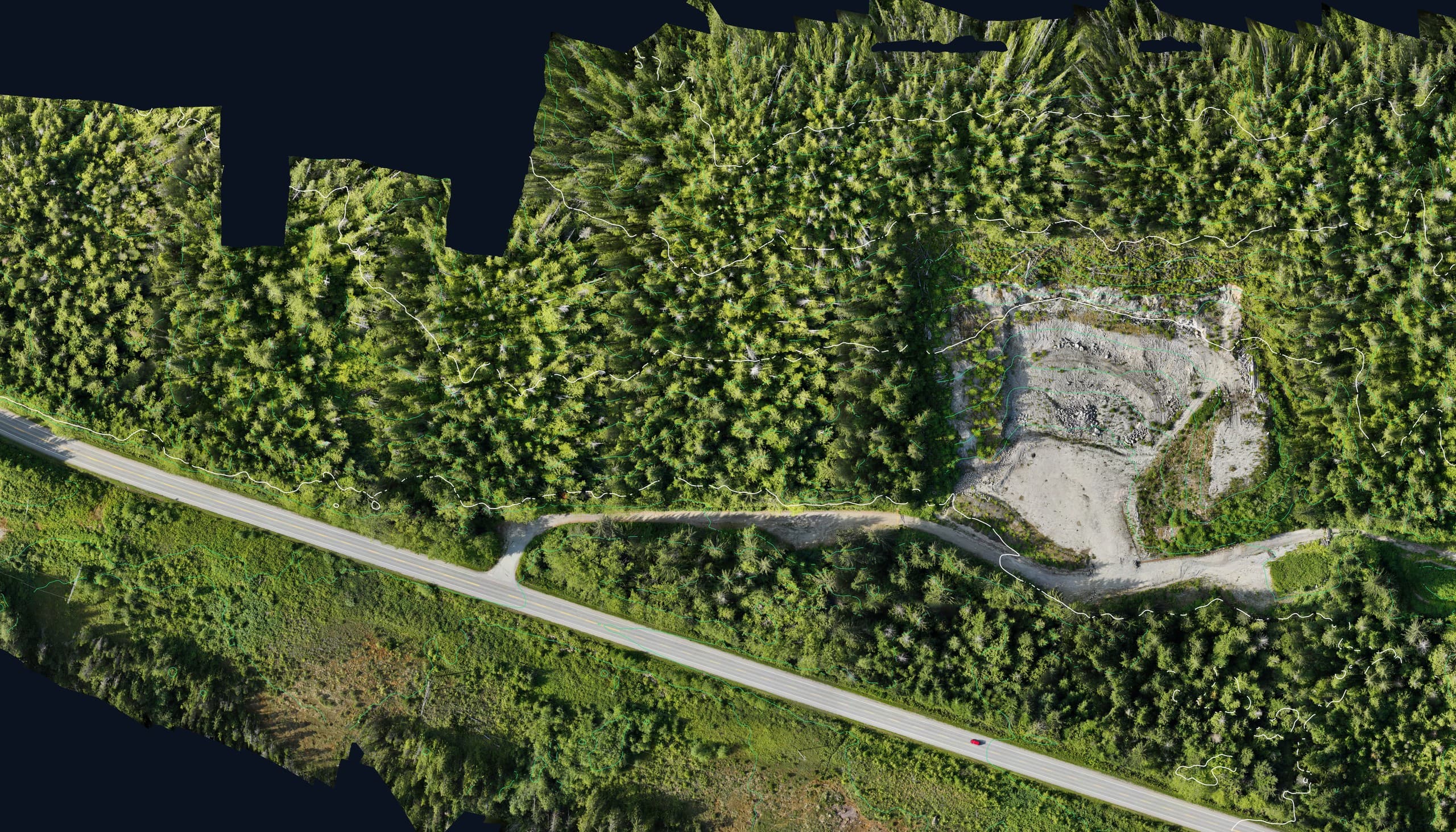
Orthophotos are produced alongside the surfaces and point clouds of a photogrammetry flight, so a single mobilization often yields imagery, terrain and volumes together. If you're flying for one, ask what else the same flight can deliver.
From a real flight
The data, not the brochure.
Deliverables
- GeoTIFF orthophoto (CAD/GIS-ready)
- PDF/JPEG exports for sharing
- Web tiles for large areas on request
- Companion surface data where flown
Coverage
Available across Vancouver Island.
From progress records on Comox Valley construction to large-block imagery on North Island resource land, we deliver current, measurable imagery across the Island, flown from Courtenay around coastal weather windows.
Common questions
How current can imagery be?+
As current as the flight. We schedule around your milestone dates and weather windows, and imagery is typically delivered within days of flying.
Can you georeference it to our project system?+
Yes, tell us the coordinate system your project runs on and the orthophoto will land exactly on it, ready for direct overlay.
Related services
Fast, accurate aerial mapping for sites of any size.
Drone LiDARHigh-density point clouds and bare-earth terrain, even under vegetation.
Geomatics & GISClean, structured spatial data that plugs into engineering and GIS workflows.
Send us the scope.
Tell us what you need and where and we'll have pricing and a realistic schedule back within one business day.