Mapping
2 min readWhat Is an Orthophoto?
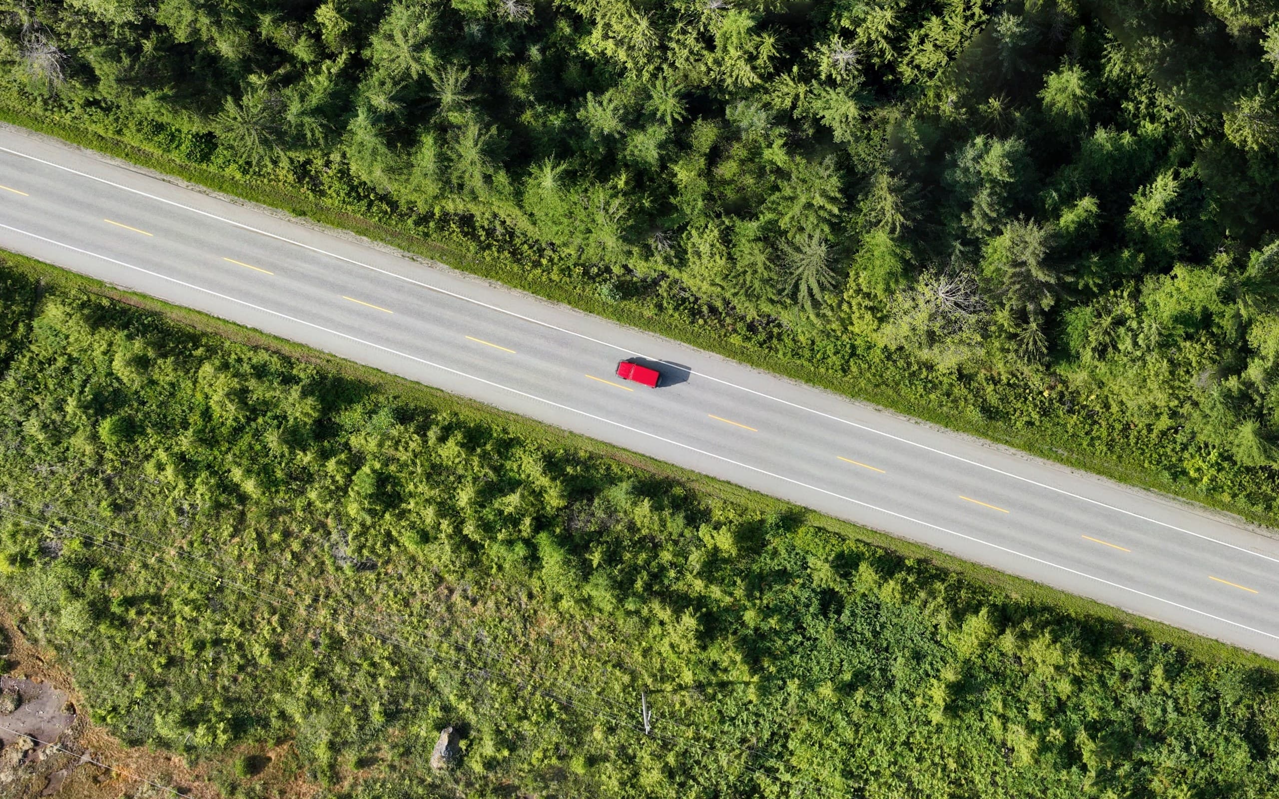
An ordinary aerial photo looks right but measures wrong: perspective and lens distortion mean scale changes across the image. An orthophoto is an aerial image that has been geometrically corrected, every pixel sits at its true map position, so the image works like a map. You can measure distances and areas on it, overlay it in CAD or GIS, and trust what you see.
How an orthophoto is made
Orthophotos come out of the photogrammetry process: overlapping drone photos, ground control or RTK positioning, and a terrain model used to correct each image before they're mosaicked into one seamless, georeferenced picture. Resolution is measured as ground sample distance (GSD), commonly 1–3 cm per pixel from a drone flight, sharp enough to see formwork, valves and paint marks.
What project teams do with them
An orthophoto is often the most-used deliverable on a project simply because everyone can read it.
- Overlay design linework on current site conditions
- Document construction progress with dated, measurable snapshots
- Plan logistics: laydown, access, staging, traffic
- Support permit applications and stakeholder communication
- Provide a visual record for disputes and claims
Orthophoto vs. satellite imagery
Web-map satellite imagery is convenient but can be years old, low-resolution and poorly aligned. A drone orthophoto is current to the day it was flown, centimetre-sharp, and aligned to your project coordinate system. For active sites, there's no comparison.
Related service
Orthophotos
Measurable, georeferenced aerial imagery for planning and documentation.