Technology
2 min readWhat Is a Point Cloud?
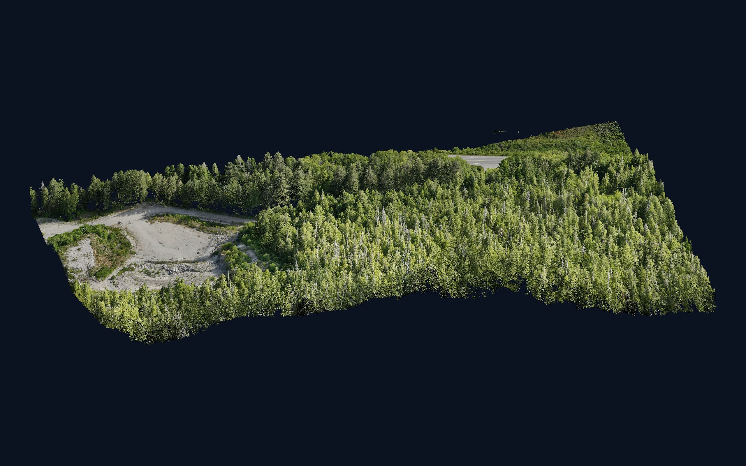
A point cloud is exactly what it sounds like: millions of individual 3D measurements, each with a position, and often colour or intensity, that together form a detailed digital copy of a site. Fly a drone over a gravel pit or scan a road corridor and the raw result is a point cloud: every stockpile, bank, tree and truck represented as constellations of measured points.
Where point clouds come from
The two common sources are LiDAR (direct laser measurement) and photogrammetry (points reconstructed from overlapping photos). LiDAR clouds excel in vegetation and measure with consistent accuracy; photogrammetric clouds carry true colour and come 'free' with an orthophoto flight. Density ranges from dozens to thousands of points per square metre.
Classification: the unglamorous step that matters
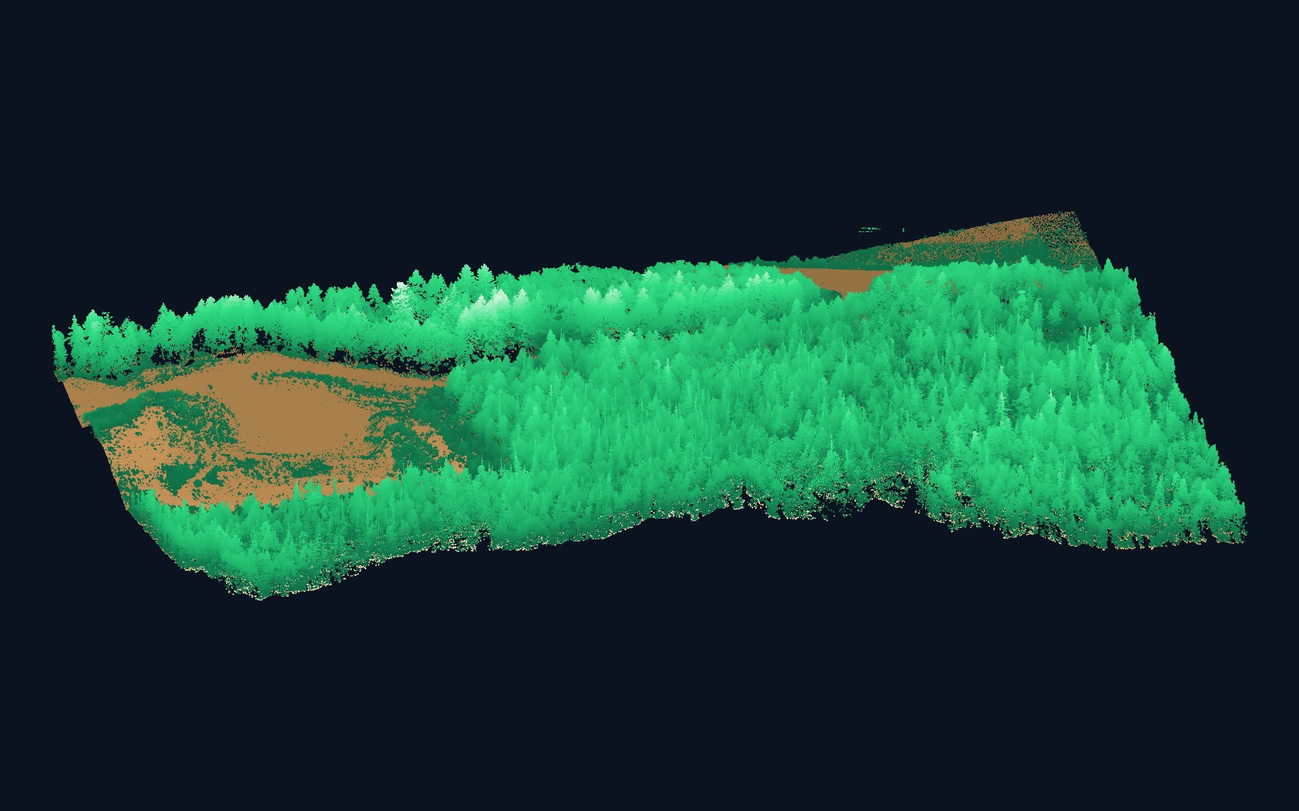
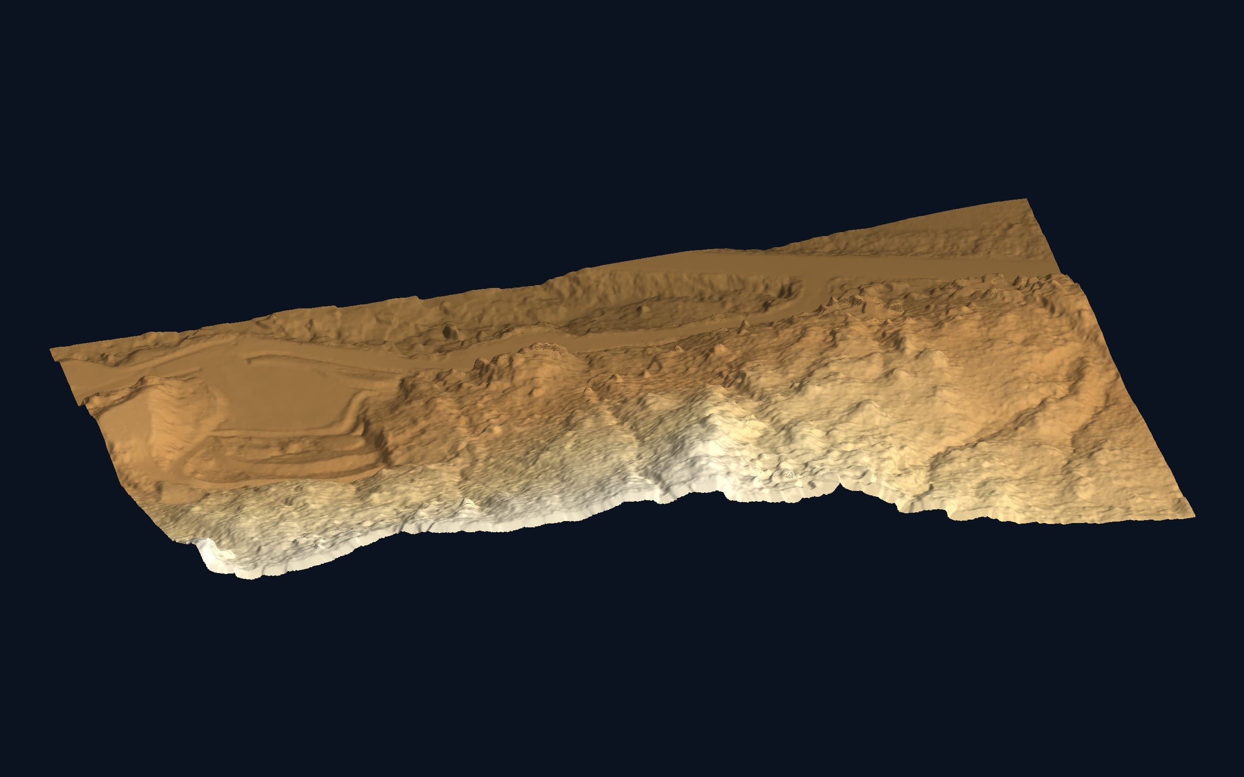
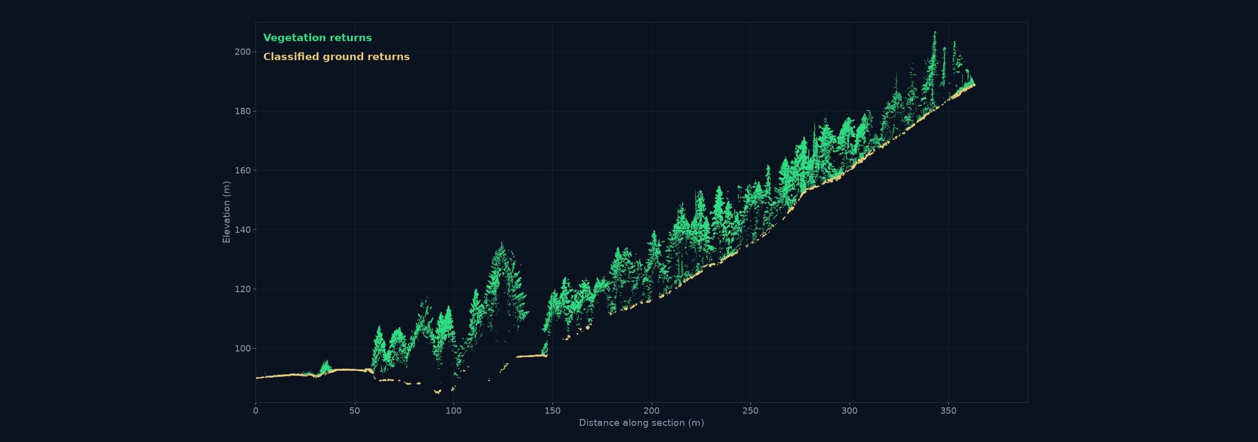
A raw cloud contains everything the sensor saw, ground, trees, buildings, vehicles, birds. Classification sorts points into categories, and it's what makes a cloud usable: the difference between 'a pretty 3D picture' and 'a bare-earth surface you can design on.' Ground classification in heavy Island vegetation is genuinely difficult, and it's where processing experience shows.
From cloud to deliverable
Almost nobody's final deliverable is the cloud itself. It becomes:
- Bare-earth surfaces (DTM) and contours for design
- Cross-sections and profiles along alignments
- Volume calculations for stockpiles and excavations
- As-built geometry for structures and utilities
- 3D context models for planning and visualization
Receiving one
Point clouds are usually delivered as LAS or LAZ files, with free viewers available if your team wants to explore the full dataset. Tell us what software you use and we'll deliver something that opens, not something that needs a specialist.
Related service
Drone LiDAR
High-density point clouds and bare-earth terrain, even under vegetation.