Technology
2 min readDrone Mapping vs. LiDAR: Which One Does Your Project Need?
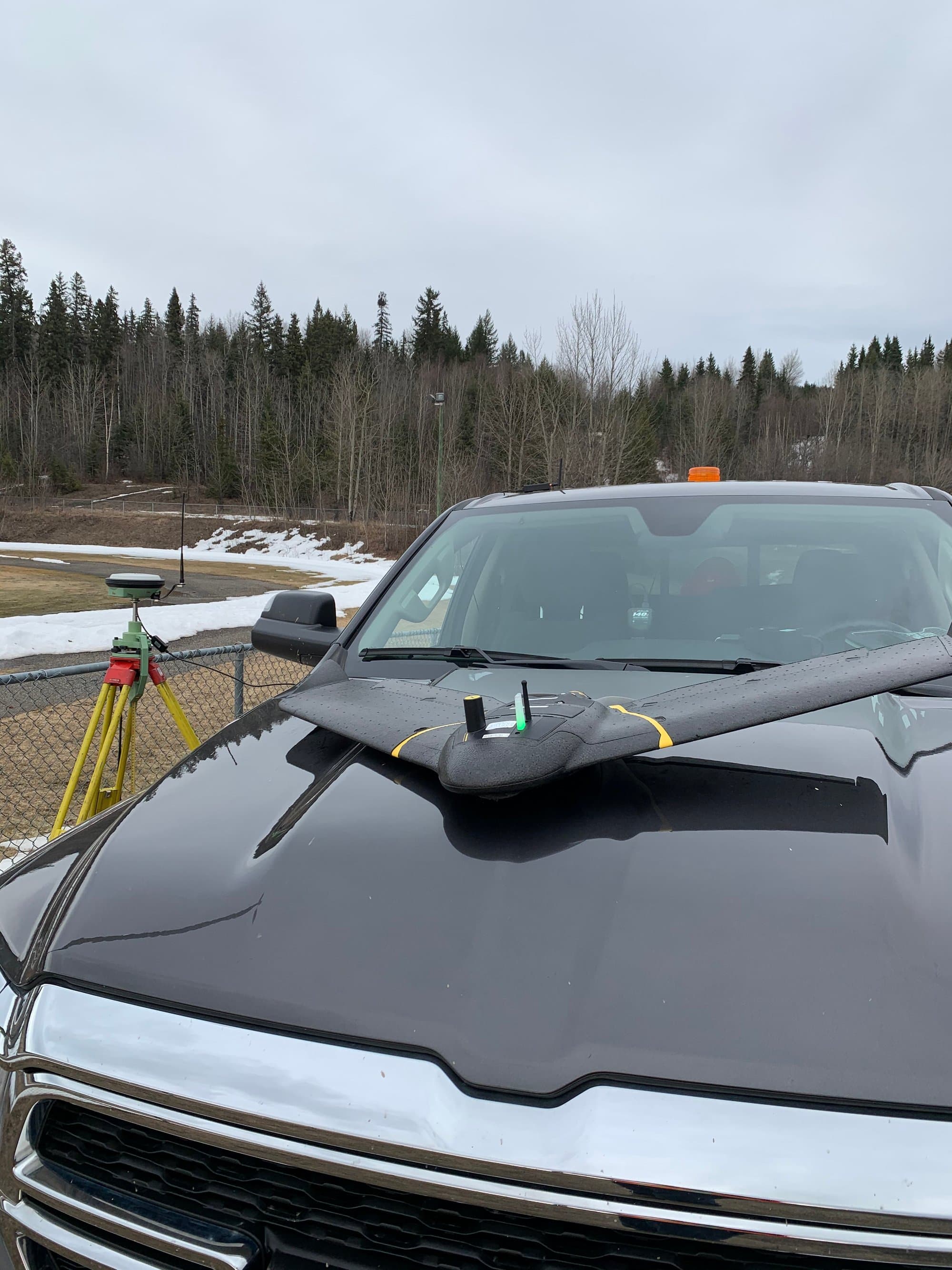
"Drone survey" usually means one of two very different technologies: photogrammetry, which builds 3D data from overlapping photographs, and LiDAR, which measures directly with laser pulses. Both fly on drones. Both produce point clouds and surfaces. They are not interchangeable, and picking the wrong one wastes money or, worse, delivers a surface that isn't the ground.
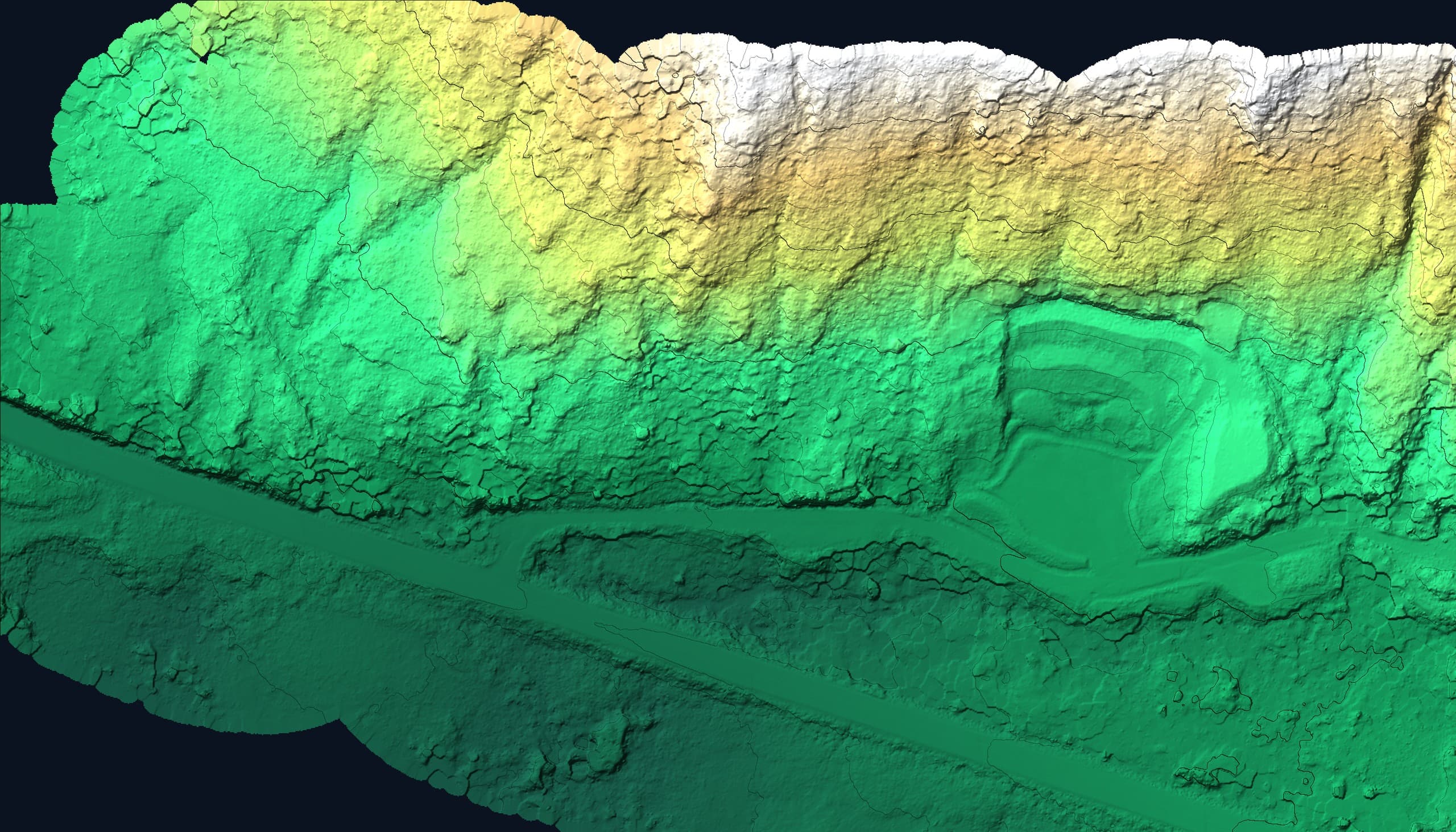
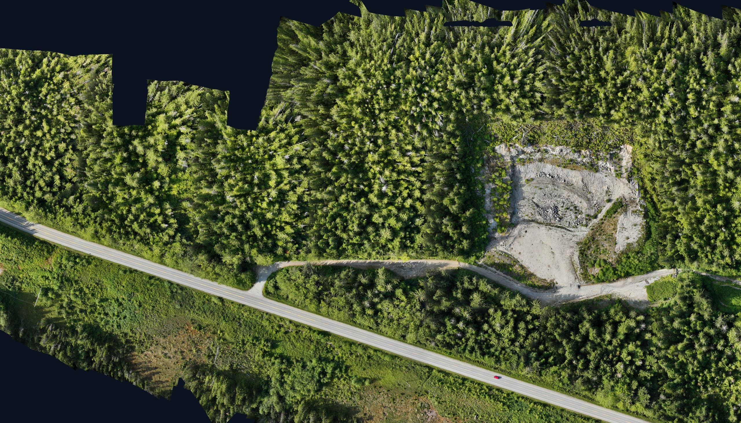
How photogrammetry works
A mapping drone flies a grid pattern, capturing hundreds of overlapping photos. Software matches millions of common points between images and reconstructs the scene in 3D, producing a dense point cloud, a surface model and an orthophoto. It's efficient, and the imagery itself is a deliverable. You get a measurable photo of the whole site.
Its limit is simple: photogrammetry can only measure what the camera can see. On open ground it's excellent. Under trees, it measures the canopy, not the terrain.
How LiDAR works
A LiDAR sensor fires laser pulses, hundreds of thousands per second, and measures their return time. Crucially, some pulses slip between leaves and branches and return from the actual ground. After classification, you get a bare-earth surface even in forest that photogrammetry can't penetrate.
LiDAR sensors and processing are more specialized, so LiDAR generally costs more than a photo flight. It also doesn't produce photographic imagery on its own, which is why many projects fly both together.
The short version
A rule of thumb that holds up well:
- Open site (cleared land, gravel, stockpiles, construction in progress): photogrammetry
- Vegetated or forested terrain where the ground matters: LiDAR
- Corridors through mixed cover (roads, pipelines, trails): LiDAR, often with photos
- You need imagery people can read: photogrammetry / orthophoto: with LiDAR added if canopy hides the ground
Why this question matters more on Vancouver Island
Much of Vancouver Island is second-growth forest with dense understorey, some of the most demanding mapping terrain in the country. Here, the photogrammetry-vs-LiDAR decision isn't academic: on a treed site, a photo-only flight can miss the ground by metres. It's usually the first question we settle when scoping any large-area mapping job on the Island.
Related service
Drone LiDAR
High-density point clouds and bare-earth terrain, even under vegetation.