Local Knowledge
2 min readHow Vancouver Island Terrain Affects Surveying and Mapping
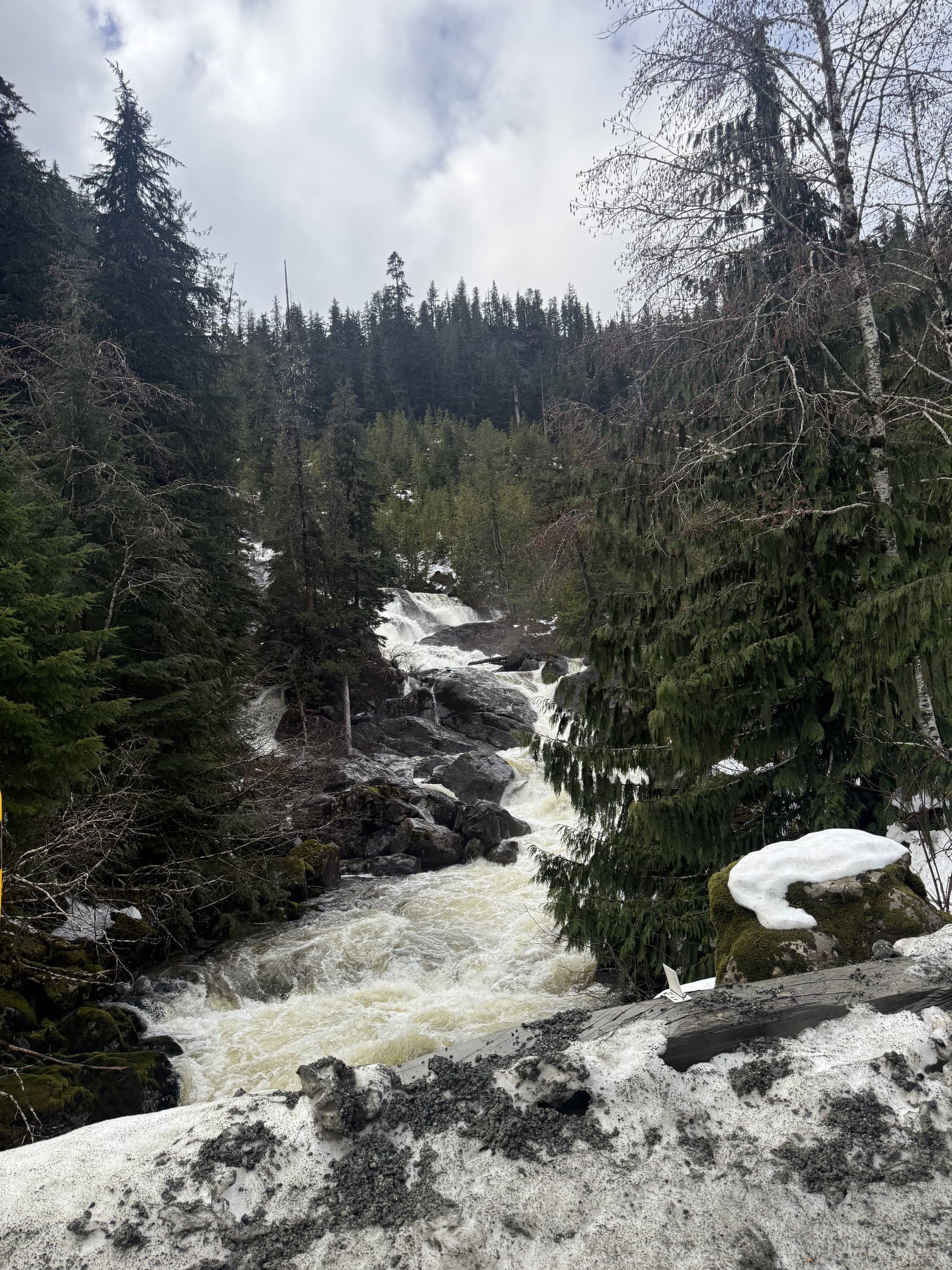
Vancouver Island packs rainforest, mountains, working resource land and one of Canada's fastest-growing urban corridors onto one landmass. That variety is why we love working here, and why survey plans imported from flatter, drier places tend to fail. Here's what the Island's geography actually does to fieldwork.
Canopy changes the physics
Coastal forest is tall, dense and wet, and it blocks both GNSS signals and camera views. Under heavy canopy, satellite positioning degrades and photogrammetry maps treetops instead of terrain. The practical consequences: total stations still earn their keep here, LiDAR is often the only realistic way to map forested ground at scale, and any accuracy promise made without seeing the vegetation is a guess.
Weather sets the schedule
Island weather is a coastal system: fog banks, wind on exposed shorelines, and a wet season that runs long. Drone operations need flying windows; total-station optics and instrument levelling don't love horizontal rain either. Experienced Island crews plan fieldwork around forecast windows and build weather float into schedules rather than promising calendar-perfect dates.
Terrain and tide
Slopes on the Island go from estuary flat to mountainside in a single project. Steep ground slows conventional traverses and makes drone and LiDAR coverage more valuable. On the coast itself, the intertidal zone moves twice daily, foreshore work gets planned against tide tables, and elevations near the water demand careful attention to vertical datums.
Access is a project risk
Beyond the highway corridor, access often means active logging roads with radio protocols, gates, seasonal deactivations, or no road at all. Remote North Island and west coast work can involve boats and floatplanes. Mobilization is a genuine cost line, which is one practical advantage of a Central Island base: Courtenay sits within working range of most of the Island's project country.
Plan for the Island you're actually on
None of this makes Island projects harder to deliver, it makes them harder to deliver without local planning. Choose sensors for the vegetation, schedule for the weather, budget for the access, and Island terrain becomes a solved problem instead of a surprise.
Related service
Drone LiDAR
High-density point clouds and bare-earth terrain, even under vegetation.