Mapping
2 min readWhat Is a Topographic Survey?
A topographic survey is a measured picture of a site as it exists today: the shape of the ground, and the features on it. It's the dataset almost every design starts from. You can't design a building, road or drainage plan for ground you haven't measured.
What gets captured
A typical topographic survey records both terrain and features. Terrain becomes contours and a digital surface; features become mapped points and lines with attributes.
- Ground elevations, breaklines and contours
- Buildings, structures and hard surfaces
- Visible utilities: manholes, valves, poles, kerbs and inlets
- Trees, vegetation limits and natural features
- Watercourses, ditches and drainage patterns
How it's collected
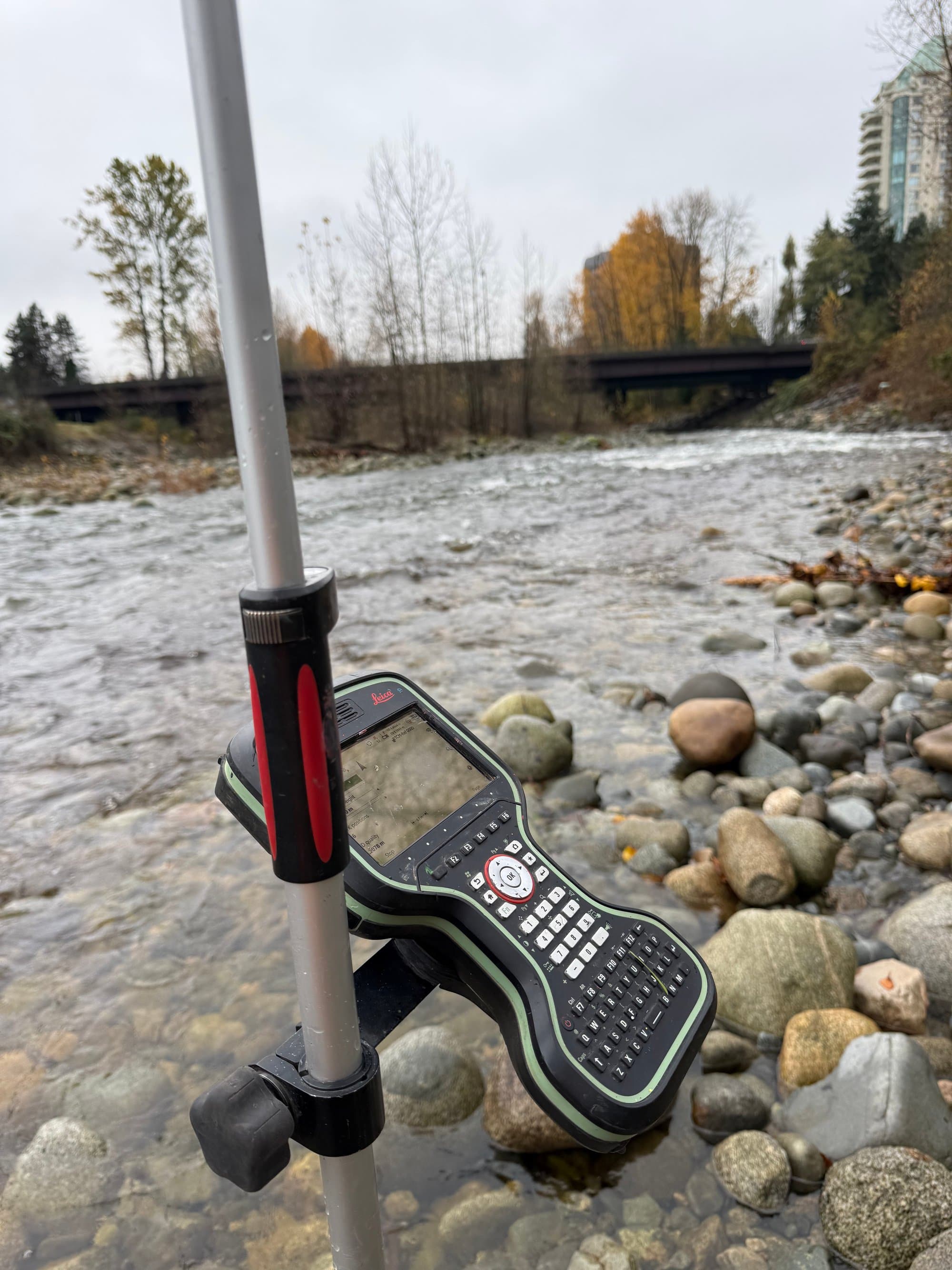
Method follows terrain. Open sites fly well. A drone survey covers hectares in an afternoon and produces a dense surface. Under trees or beside structures, GNSS and total-station work fills in what the air can't see. Larger vegetated sites often combine LiDAR (which reaches the ground through canopy) with conventional shots for hard detail. Most real Island sites end up as a blend.
Accuracy and datums
A topographic survey is only as useful as its reference frame. Surveys should be tied to a defined coordinate system and vertical datum so every later phase, design, layout, as-built, lands on the same basis. When you request a survey, the deliverable should state its datum, coordinate system and accuracy; if it doesn't, ask.
What you receive
Typical deliverables are a CAD base plan (DWG/DXF), a ground surface (TIN/DTM), contours at your specified interval, and a PDF plan. On drone-flown sites, an orthophoto usually comes with it. A measurable aerial image that makes the drawing much easier for non-surveyors to read.
Related service
Topographic Surveys
Accurate existing-conditions data for design, planning and development.