Construction
2 min readWhat Is Construction Surveying? Control, Layout, Grades and As-Builts Explained
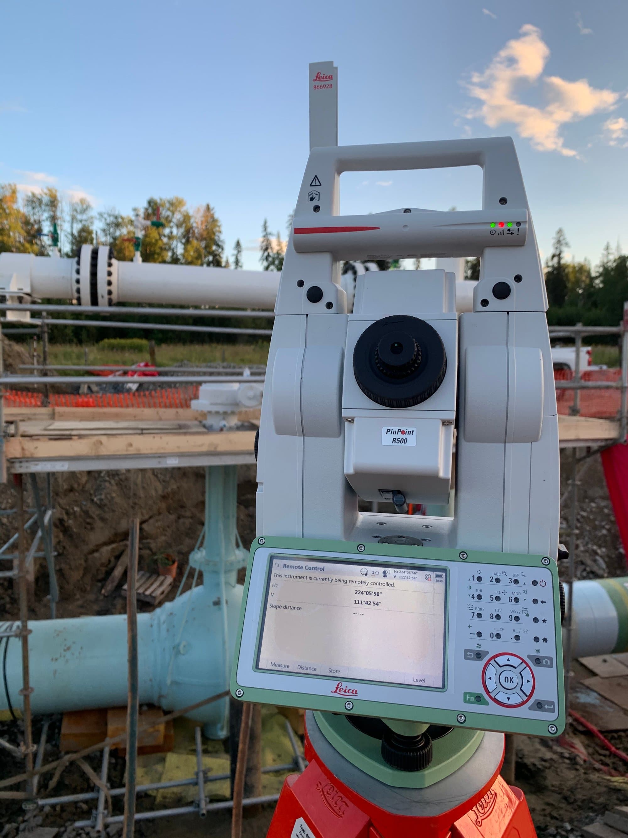
Construction surveying is the work of putting a design onto the ground. An engineer or architect draws a building, a road or a pipe network in CAD; a construction surveyor establishes exactly where every part of it belongs on the actual site, and later measures what was built to confirm it matches.
It sounds simple. It's also the point where a paper mistake becomes a concrete one, which is why experienced crews treat layout as the first quality-control step of the build, not an errand.
Control comes first
Every construction survey starts with control: a small network of highly accurate reference points established around the site, tied to the project's coordinate system. Every stake, gridline and as-built shot that follows is measured from these points. Good control is invisible when it's right and expensive when it's wrong. If control drifts, everything laid out from it drifts with it.
Layout and stakeout
Layout (or stakeout) is marking the design on the ground: corners of footings, gridlines on formwork, centrelines of roads, invert elevations for pipe. The surveyor works from the design model and the control network, marking positions with stakes, nails, paint or lath along with cut/fill information so the crew knows both where and how deep.
- Building corners, gridlines and anchor bolts
- Curb, road and utility alignments
- Grade stakes and slope staking for earthworks
- Elevation benchmarks for formwork and slabs
Grades and earthworks
Between clearing and final lift, most of a site's money moves in the earthworks. Construction surveyors set and check grades so excavation hits design subgrade. No expensive over-dig, no failed inspections for being high. On larger sites, drone surveys add fast progress volumes between traditional checks.
As-builts close the loop
As construction proceeds, the surveyor records what was actually built, the as-built. Buried utilities get measured before backfill; finished surfaces get verified against design. The as-built record protects the owner and contractor alike, and it's often a condition of acceptance for municipalities and engineers.
Why it matters on Vancouver Island
Island sites add their own wrinkles: tight benches cut into hillsides, heavy canopy that limits GNSS, wet-season access windows. A layout plan that works in a flat prairie subdivision needs adapting here, which is a big part of why local field experience matters as much as the instrument on the tripod.
Related service
Construction Surveying
Site layout, gridlines, grades and control that keep crews building, not waiting.