Construction
2 min readWhat Is an As-Built Survey?
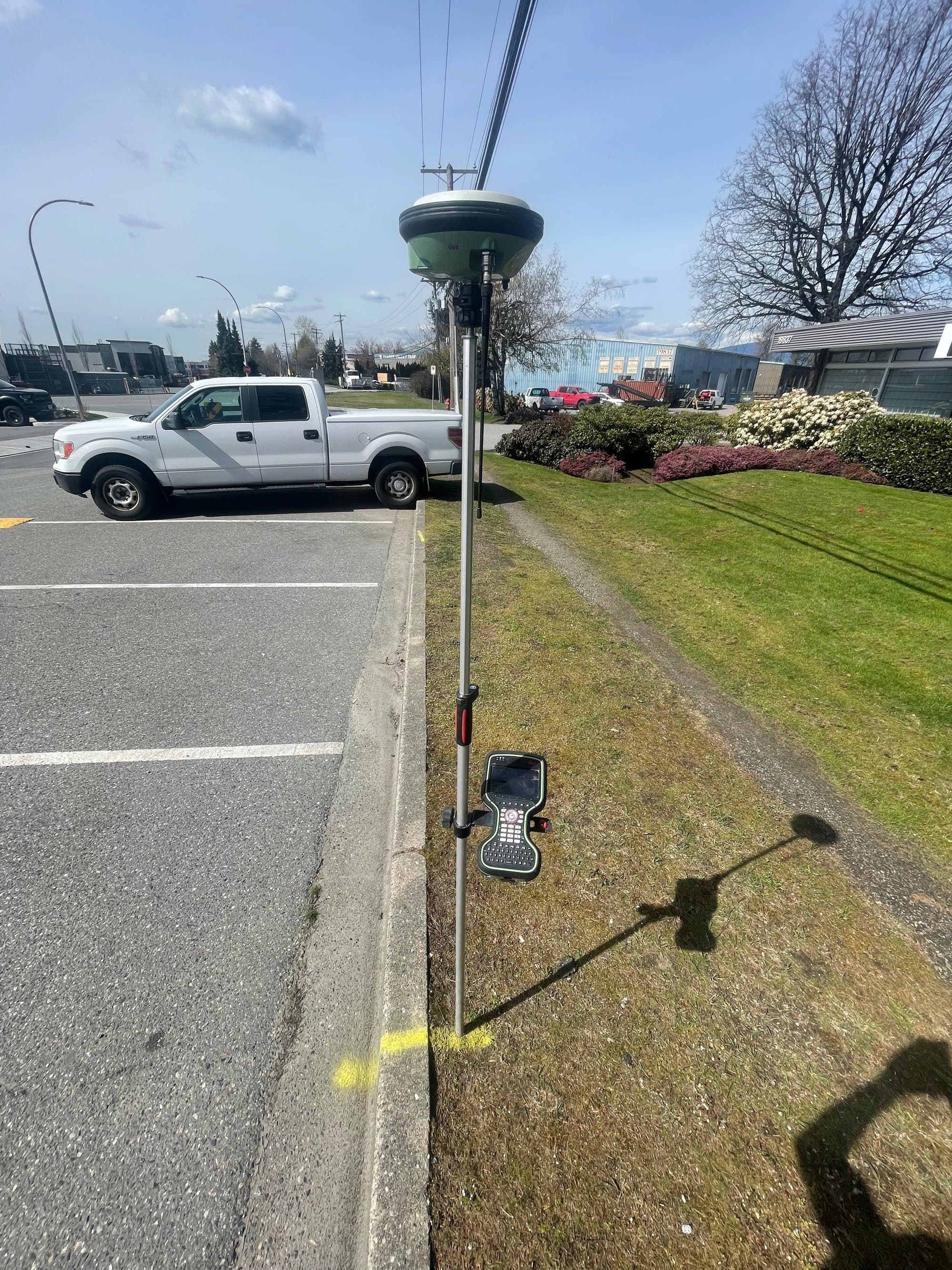
Design drawings show intent. An as-built survey records reality: the measured positions and elevations of what was actually constructed. It's how a project proves the pipe is where the drawing says, the slab is at grade, and the works meet the approvals they were built under.
What gets recorded
- Underground utilities: measured before backfill hides them forever
- Finished surfaces, slabs and structures against design grade
- Roadworks: centreline, kerbs, structures and drainage
- Site servicing for municipal acceptance packages
- Any deviation from design, documented rather than discovered later
Timing is everything
The most valuable as-built shots happen during construction, not after. A water service is a thirty-second measurement while the trench is open, and an expensive investigation five years later. Good projects build as-built pickups into the construction sequence, especially for anything that gets buried or encased.
Who needs it
Municipalities typically require as-built records before accepting infrastructure. Engineers need them to certify works. Owners inherit them as the permanent record of their asset, the drawing the next renovation, repair or excavation will rely on. And contractors use them as protection: measured proof of conforming work at the moment it was completed.
The deliverable
As-built deliverables usually mirror the design package: red-line or revised CAD drawings, PDF record sets, and structured data where the owner maintains GIS records. The best practice is simple, record it in the same coordinate system the project was designed and laid out in, so the whole lifecycle of the site shares one spatial story.
Related service
As-Built Surveys
Record what was actually built, surfaces, structures and services.