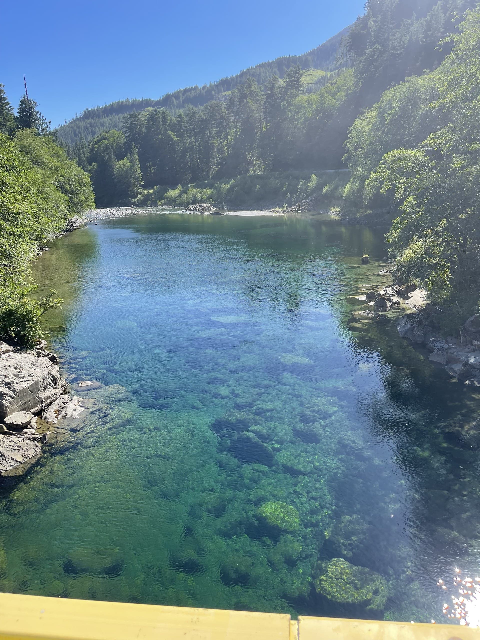
The Cowichan Valley
Surveying in Duncan & the Cowichan Valley
The Cowichan Valley is the Island's farm belt. A broad, warm valley of acreages, vineyards, hobby farms and small communities strung along the Highway 1 corridor, with Duncan at its centre. It grows differently than the big centres: fewer tower cranes, more rural subdivisions, estate builds, agricultural buildings and small-lot development spread across genuinely varied ground.
Surveying here reflects that mix. A single week of Cowichan work can run from a creekside acreage topo to layout for a commercial building on the highway, with river floodplain, rock knolls and mature timber all making appearances.
Cowichan project environments
The valley's characteristic settings:
Rural acreages & farms
Property topo for estate homes, barns and agricultural buildings, big parcels where drone mapping saves days of ground work.
Riverside & low-lying land
Properties along the valley floor where accurate elevations and surface models inform drainage and siting decisions.
Highway-corridor commercial
Layout and as-builts for commercial and light-industrial builds along the Trans-Canada through Duncan and North Cowichan.
Small-lot development
Subdivision topo and construction support for the valley's steady residential growth.
What we deliver here
Topographic Surveys
From village lots to hundred-acre farms, existing conditions at the right level of detail for the job.
About this service →Drone Mapping
Efficient large-parcel mapping with orthophotos landowners can actually read.
About this service →Construction Surveying
Layout for homes, agricultural buildings and commercial projects across the valley.
About this service →South Island coverage, planned right
Cowichan sits on our southern run between Nanaimo and Victoria, and we schedule valley work accordingly, often pairing projects so mobilization is shared and pricing stays sensible for smaller rural jobs.
Common questions
Can you survey large rural properties near Duncan?+
Yes, large parcels are where drone methods shine. We typically fly the property for surface and imagery, then add ground shots where canopy or detail demands it. The result costs far less than gridding a hundred acres on foot.
Do you work with owners as well as builders?+
Regularly. Much of our Cowichan work starts with a property owner planning a build or land improvement. We're comfortable explaining what data your designer or engineer will need, before you pay for more survey than the project requires.
My property has low-lying land near a creek. Can you map elevations for drainage planning?+
Yes. Accurate surfaces on low-lying ground are a core deliverable. We tie elevations to a proper vertical datum so your designer's drainage and siting decisions rest on real numbers.
Nearby service areas
Ready when you are.
Send the site location and scope, we'll reply within one business day with pricing and a realistic schedule.