Earthworks
2 min readHow Are Stockpile Volumes Calculated?
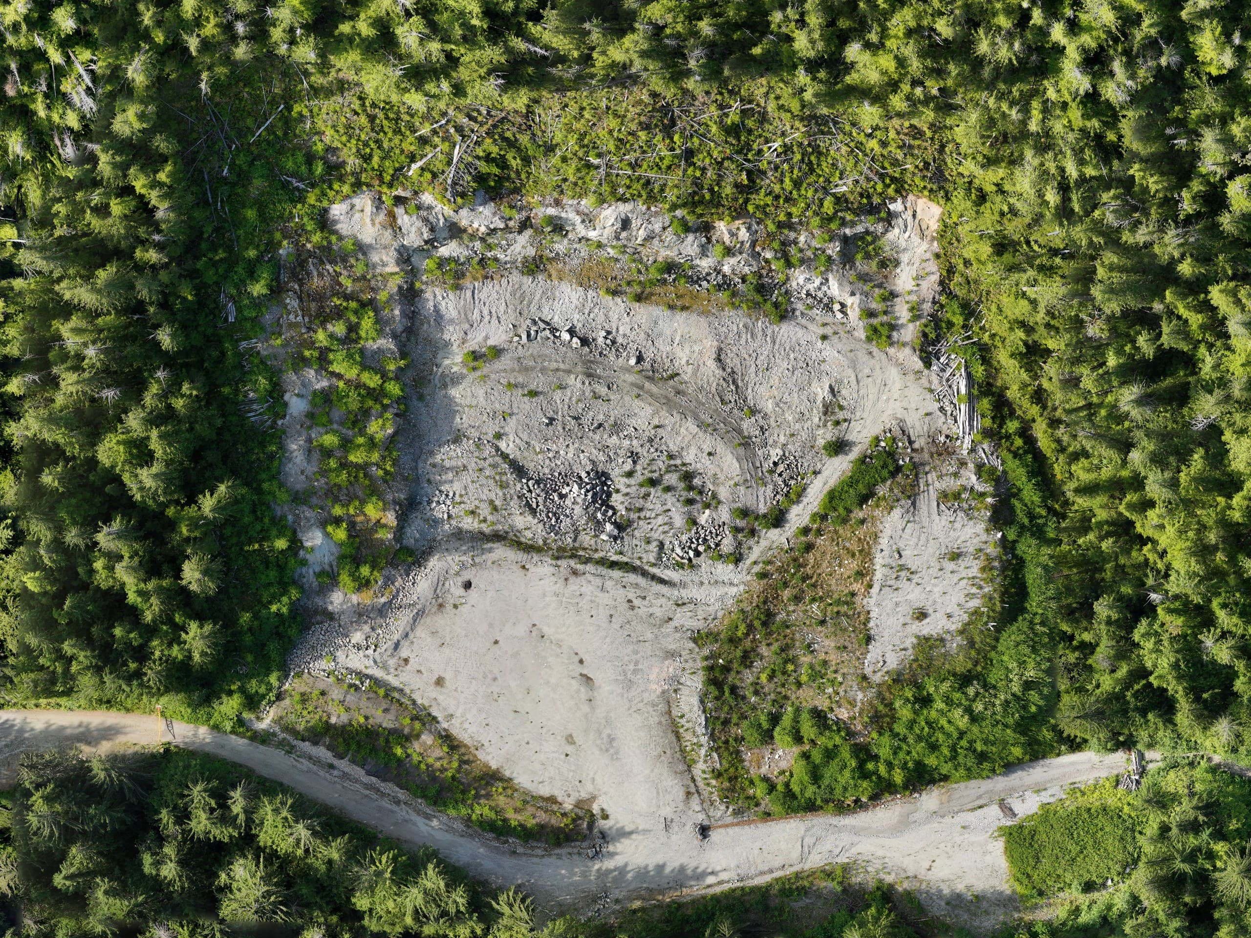
Stockpile volumes used to mean a crew walking piles with a GPS rod, sparse shots, and a lot of interpolation. A drone survey measures the entire pile surface, hundreds of points per square metre, and calculates volume against a base surface. Done properly, it's faster, safer and considerably more accurate. 'Done properly' is the key phrase.
The method
A volume is always the difference between two surfaces: the measured pile surface, and a base representing the ground beneath it. The drone flight captures the top surface in dense detail. The base comes from a pre-stockpile survey (best), surveyed toe points with an interpolated floor (common), or an assumed flat base (weakest, fine for rough checks, risky for money numbers).
What drives accuracy
- Base surface quality: usually the largest error source by far
- Ground control / RTK positioning tying flights to a consistent datum
- Clean pile toes: material against walls or vegetation blurs the boundary
- Consistent methodology between surveys, so period-to-period changes are real
Inventory programs, not one-off numbers
The real value shows up when volumes repeat: monthly or quarterly flights, the same control, the same base surfaces, the same processing rules. Then inventory changes are genuinely comparable, which is what accountants, estimators and owners actually need. A one-off number answers a question; a program manages an asset.
Defensibility
When volumes back invoices, royalties or year-end inventory, methodology matters as much as the number. A good volume report states its surfaces, base assumptions, control and accuracy, so the figure survives scrutiny from an auditor or the other side of a dispute.
Related service
Drone Mapping
Fast, accurate aerial mapping for sites of any size.