Choosing a Surveyor
4 min readSurveying Companies on Vancouver Island: How to Choose the Right One
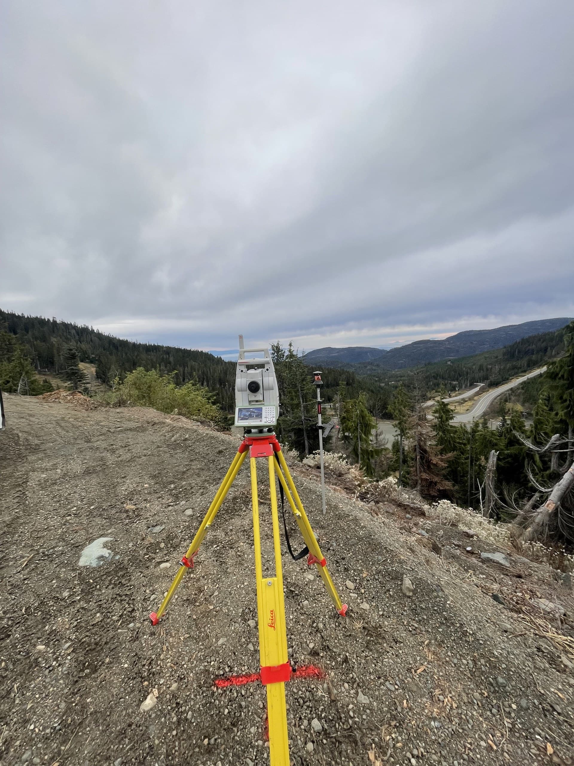
Search for surveying companies on Vancouver Island and you'll find a short list of names, a few mainland firms that fly in, and not much to tell them apart. The differences show up later: a crew that bills a ferry before it measures anything, a topo that arrives as a PDF your engineer can't design on, a drone flight over a treed site that never found the ground.
We're one of the companies on that list — Vancouver Island Geomatics, based in Courtenay in the Comox Valley and working from Greater Victoria to Port Hardy. This is the guide we'd hand a project manager who's comparing quotes: what actually separates surveying companies on the Island, and how to match one to the job in front of you.
Start with where the crew sleeps
On an island, geography is the first line of any quote. A company based here drives to a mid-Island site in the morning and is measuring by nine; a company that mobilizes from the mainland is billing hours before an instrument leaves its case, and every weather delay or return visit costs the same again. For anything with follow-up visits — construction layout, monitoring programs, phased as-builts — the local base is the difference between a partner and an invoice.
Local also means terrain knowledge. Crews that work Island ground every week already know which cutblocks will kill GNSS, which highway corridors need traffic control planned a week out, and which coastal sites only open up at low tide.
Look at the whole toolkit, not one instrument
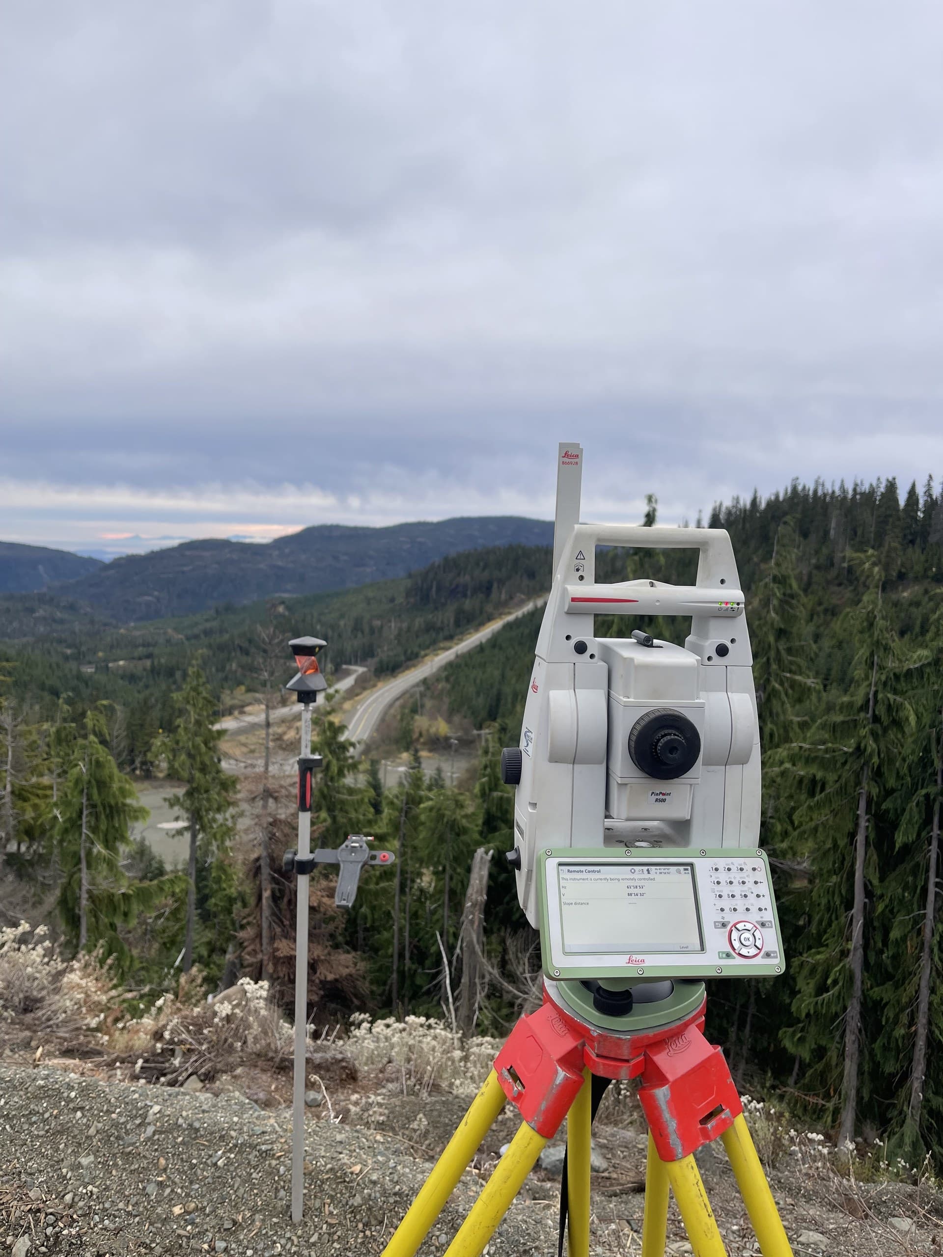
Island projects rarely suit a single method. A forestry road network wants drone LiDAR that reaches the ground through canopy. A plant as-built wants a robotic total station and a scanner. A gravel pit wants a fast photogrammetry flight with checked volumes. A highway corridor needs a GNSS control network the total station work hangs from.
The companies worth hiring carry all of it and choose per site — and they'll tell you when the cheaper method genuinely does the job. Be cautious of any firm that recommends the same tool for every project; usually it's the only one they own.
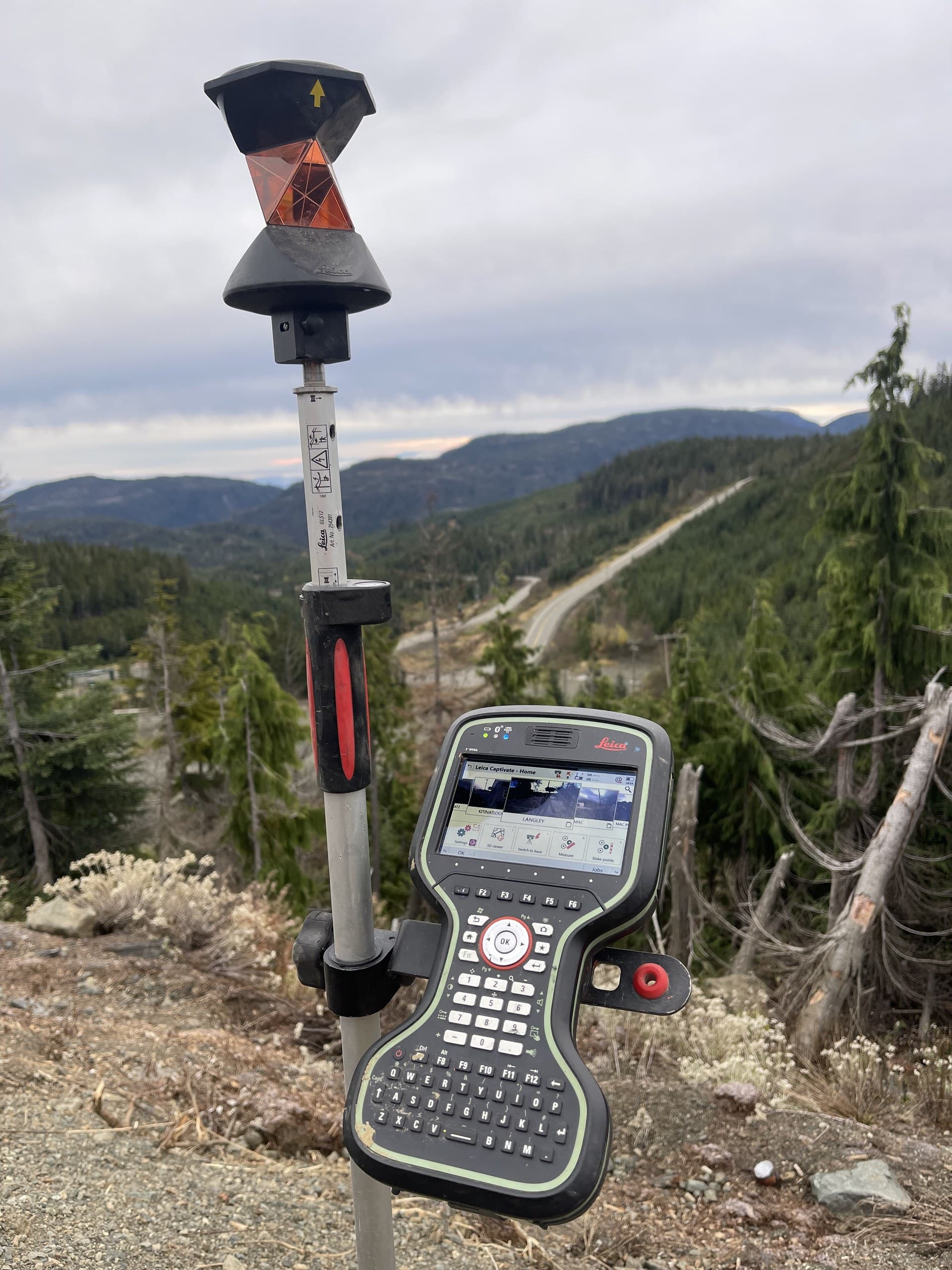
- —Survey-grade GNSS with a defined control network and datum
- —Robotic total stations for structures, corridors and under-canopy work
- —Drone photogrammetry for open sites, stockpiles and progress mapping
- —Drone LiDAR for forested, steep or vegetated ground
- —Private utility locating before excavation
Judge the deliverable before the price
Two quotes for a "topographic survey" can describe completely different products. One delivers a stamped PDF; the other delivers a DWG base plan, a ground surface, contours at your interval, an orthophoto and a stated accuracy — the things your designer, estimator or environmental consultant can actually work with. Before comparing dollars, compare what arrives: file formats, coordinate system, vertical datum, accuracy statement and turnaround. A surveying company that can't state those in the quote will struggle to state them in the deliverable.
Match the company to your kind of project
The best surveying company for a subdivision is not automatically the best one for a mine site. Ask who the firm works for most. Industrial, commercial, environmental, forestry and mining work each carry their own expectations — site safety orientations, permit-driven schedules, remote access, large-area mapping, defensible volumes — and a company that lives in that world already speaks your engineer's and your operations manager's language.
- —Construction and commercial: responsive layout, grade checks and as-builts on the contractor's schedule
- —Engineering consultancies: design-ready existing conditions and infrastructure as-builts to your CAD standards
- —Forestry and resource roads: corridor LiDAR, road design topo and cut/fill quantities over large areas
- —Mining and aggregates: pit and stockpile surveys with methodology that survives an audit
- —Environmental: baseline topography, watercourse and monitoring surveys tied to a consistent datum
Questions to ask before you sign
Five questions separate the field quickly. Any capable surveying company will answer them in a sentence or two:
- —Where are your crews based, and what is the mobilization for my site?
- —Which method will you use here, and why that one?
- —What coordinate system, datum and accuracy will the deliverable state?
- —What file formats do I receive, and when?
- —Who is my contact while the crew is in the field?
How we answer them
Crews based in Courtenay, working the whole Island on planned runs so mobilization is shared, not charged to one client. GNSS, robotic total stations, drone photogrammetry, drone LiDAR and utility locating chosen per site — and the cheaper method recommended when it truly does the job. Every deliverable states its coordinate system, datum and accuracy, and arrives in the formats your team designs in. Quotes go out within one business day, and they spell out exactly what's measured and what you receive.
If you're comparing surveying companies on Vancouver Island right now, send us the site and the scope. You'll have a real number — and a straight answer to all five questions — by the next business day.
Related service
Construction Surveying
Site layout, gridlines, grades and control that keep crews building, not waiting.