Pricing
3 min readHow Much Does a Topographic Survey Cost?
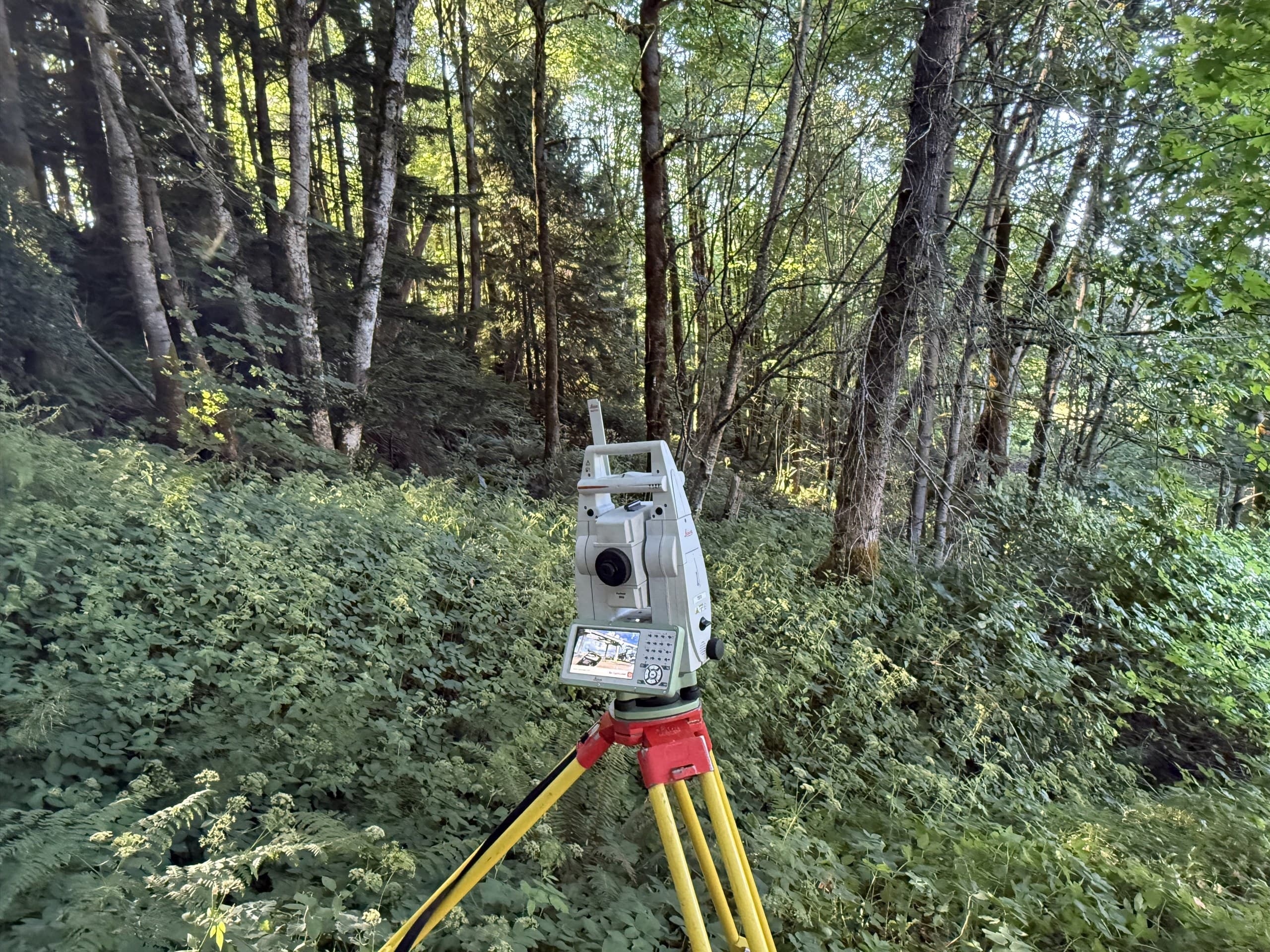
It's the first question on every project, and most surveying websites refuse to answer it. Here's the honest version: topographic surveys don't have a price list, because two properties of identical size can be completely different jobs. But the factors that set the price are no mystery, and once you understand them, you can read your own site and know roughly where it lands before you ever ask for a quote.
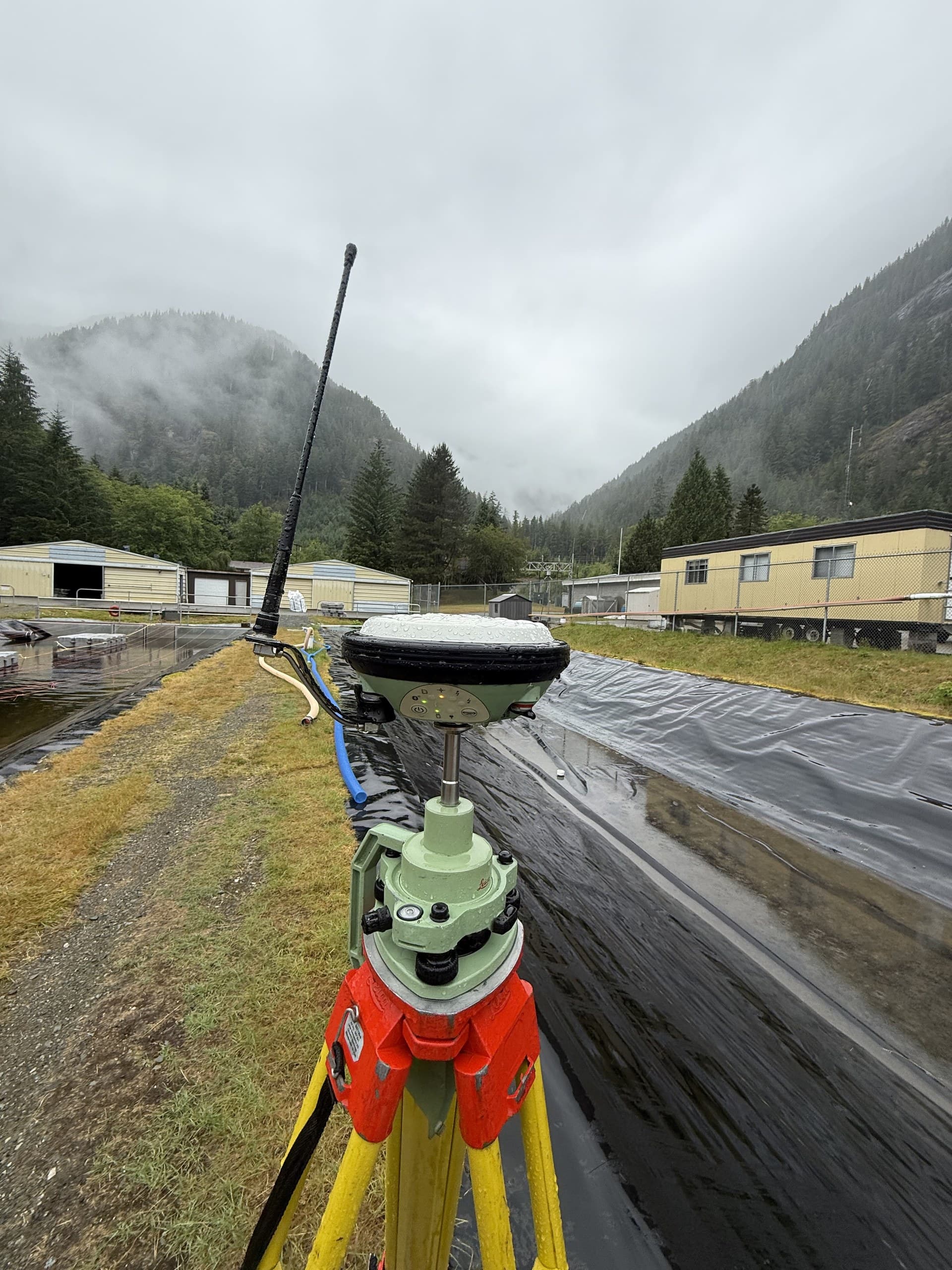
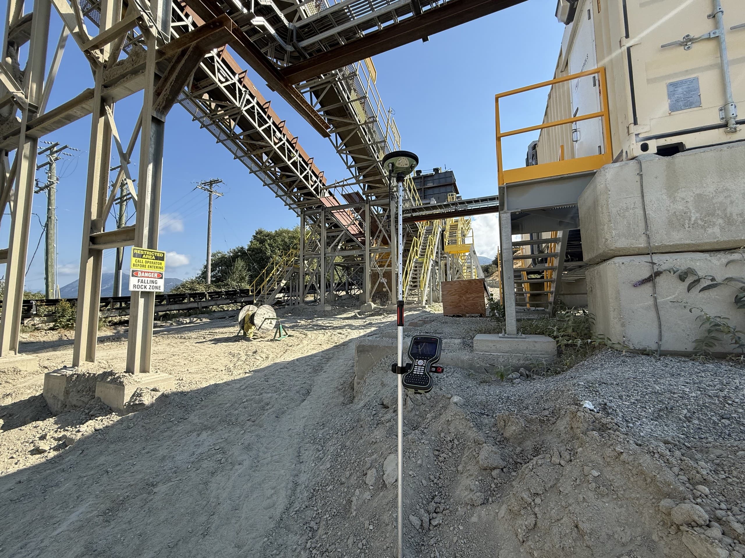
The five things that drive the price
Every topo quote we produce comes down to the same five questions about the site:
- Size: more ground means more measurement, but cost doesn't rise in a straight line: drone methods make the per-hectare price fall as sites get bigger
- Vegetation: open ground can be flown in an afternoon; dense canopy means ground crews or LiDAR, and that's often the single biggest price factor on Island properties
- Terrain: flat farmland measures fast, steep gullied slopes measure slowly and demand more shots to model honestly
- Detail: a siting-level topo for a house is a different product than a design-grade survey with every kerb, invert and utility picked up
- Access: a site behind a locked gate up a resource road carries mobilization time a city lot doesn't
Why the same acreage can quote three different ways
Picture three ten-acre parcels. The first is a cleared, gently sloped field with road frontage. A drone flight with ground control, done in a day. The second is the same field but half-covered in mature second-growth timber, now the treed half needs ground survey or LiDAR, and the job may double. The third is steep, fully forested and reached by a deactivated logging spur, access planning, LiDAR and a bigger field effort. Same acreage; three very different quotes. That's why any surveyor quoting sight-unseen off area alone is guessing, and why we ask for the site location before giving numbers.
How drone methods changed the math
A decade ago, topo cost scaled almost linearly with area, because every point was measured by a person standing on it. Drone photogrammetry and LiDAR broke that relationship: on open or lightly treed ground, a flight captures millions of points in the time a ground crew captures hundreds. The practical effect is that large open sites are far more affordable to survey than they used to be, and the price premium now attaches to vegetation and detail, not raw size. If your site is big and open, get it flown; if it's small and complicated, the traditional methods still earn their keep.
What's included in a real quote
A proper topo quote isn't one number, it states what will be measured, at what density and accuracy, on what coordinate system and vertical datum, and exactly which deliverables you receive: the CAD base plan, surface model, contours, PDF sheets, and orthophoto where flown. When comparing quotes, compare those terms, not just the dollars. A cheap survey that your engineer can't design on is the most expensive kind.
Getting a firm number
We quote topographic surveys across Vancouver Island within one business day. Send us the site address or a pin, what the survey is for, and any drawings or previous surveys you have. That's enough for us to read the vegetation, terrain and access from imagery and give you a real number instead of a range. No site visit needed to quote, and no charge for asking.
Related service
Topographic Surveys
Accurate existing-conditions data for design, planning and development.