Drone Services
2 min readDrone Surveyors on Vancouver Island
Drone surveying on Vancouver Island isn't one tool. It's a toolkit. A big open pit, a forested corridor and a tight industrial site each call for different aircraft, different sensors and different flight planning. The part that stays constant is the standard: ground control, RTK positioning and independent checks, so the numbers coming off the drone are numbers you can build on.
We fly across the Island from our base in Courtenay. This post covers what our drone work actually delivers, which aircraft fit which jobs, and the Island realities (weather, airspace, terrain) that decide how a flight gets planned.
What drone surveying delivers
Every deliverable below comes off our aircraft as measurable, georeferenced data, not just pictures:
- Orthophotos at 1–3 cm resolution, aligned to your project coordinate system
- Surfaces and contours ready for design and earthworks
- Stockpile and cut/fill volumes computed from real geometry
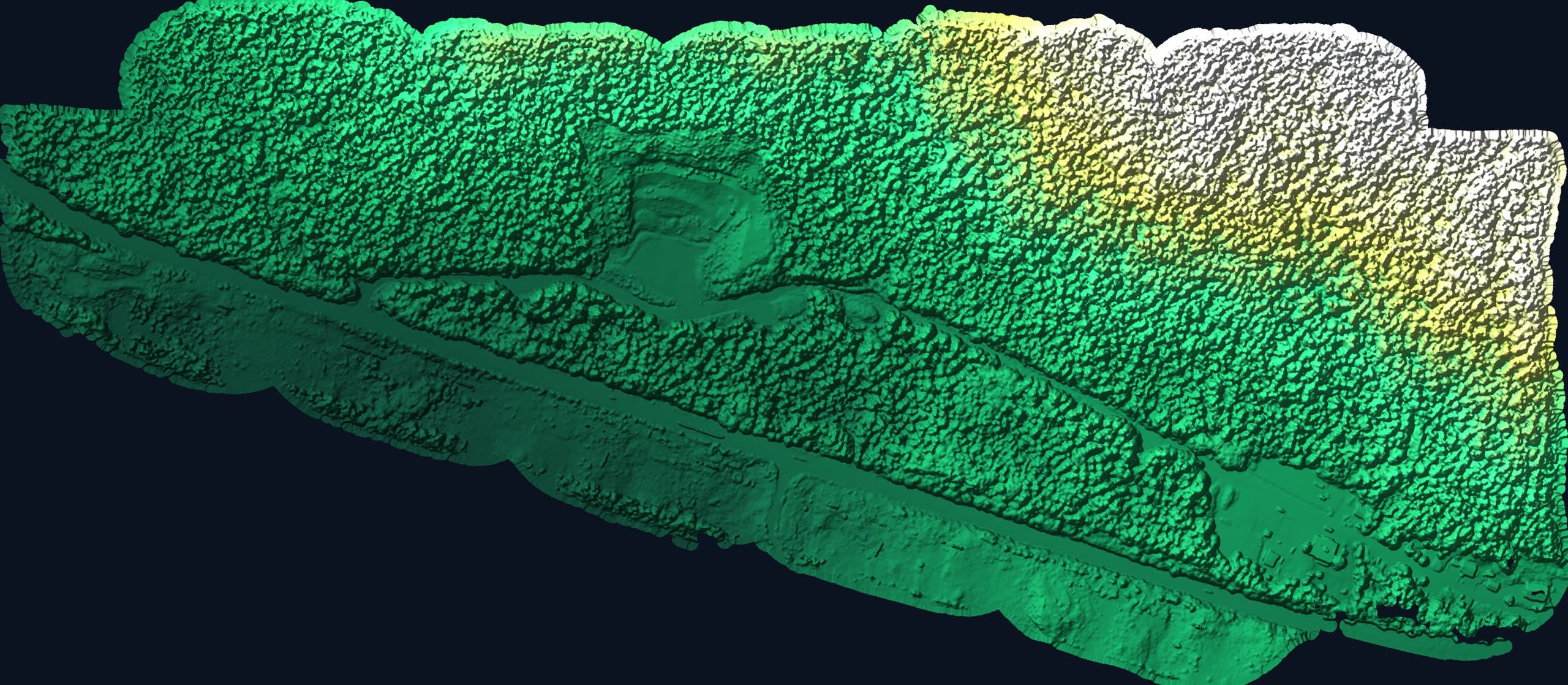
- Bare-earth LiDAR terrain through forest canopy
- Dated progress records that settle disputes before they start
The right aircraft for the job
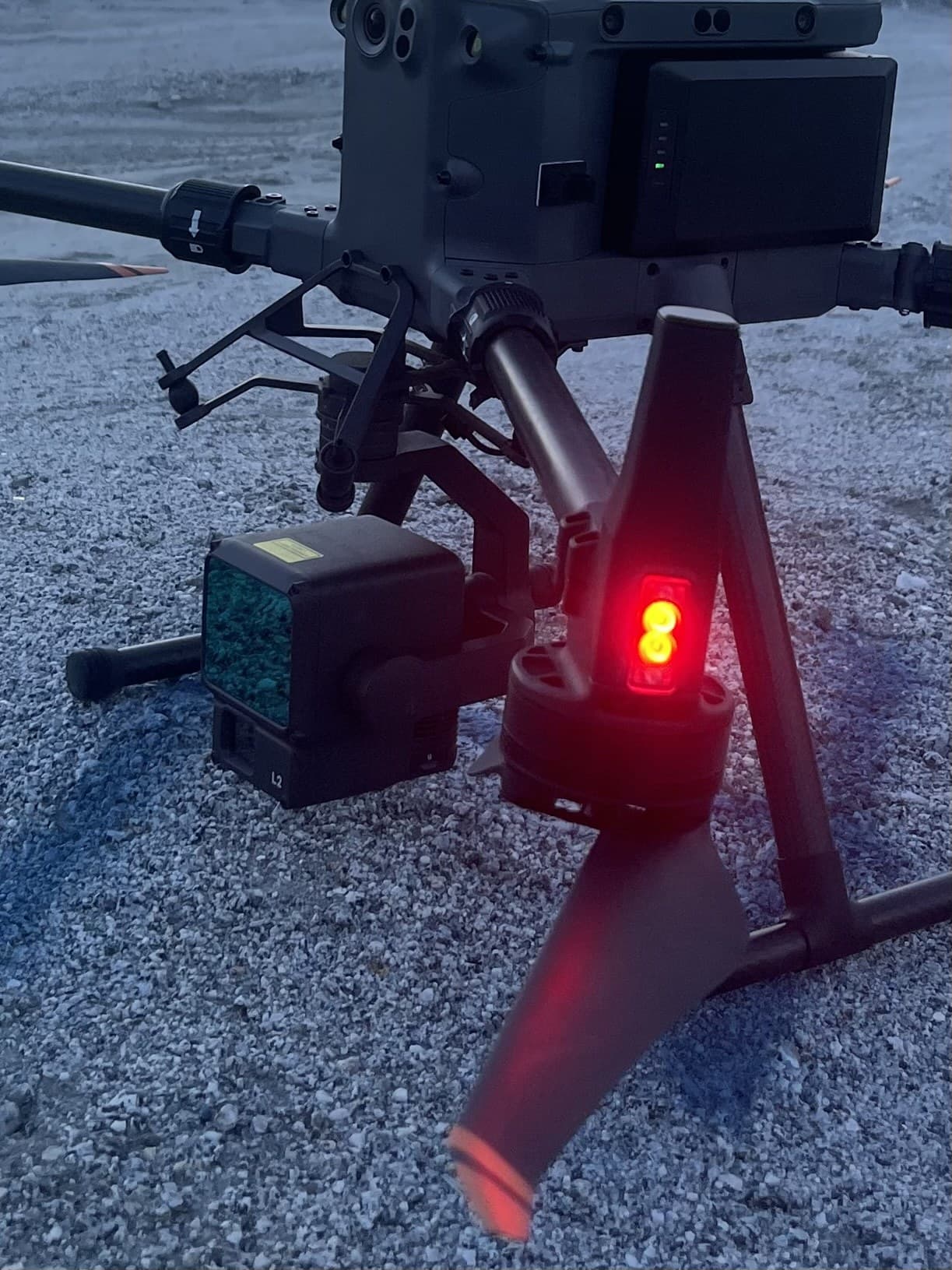
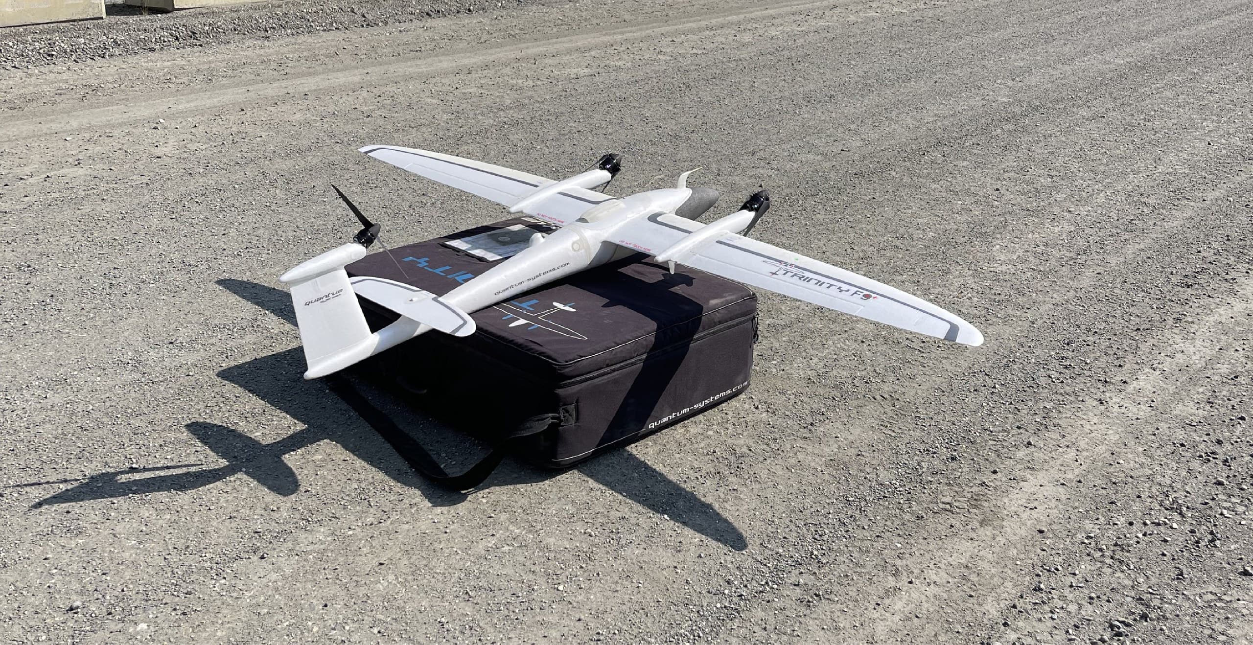
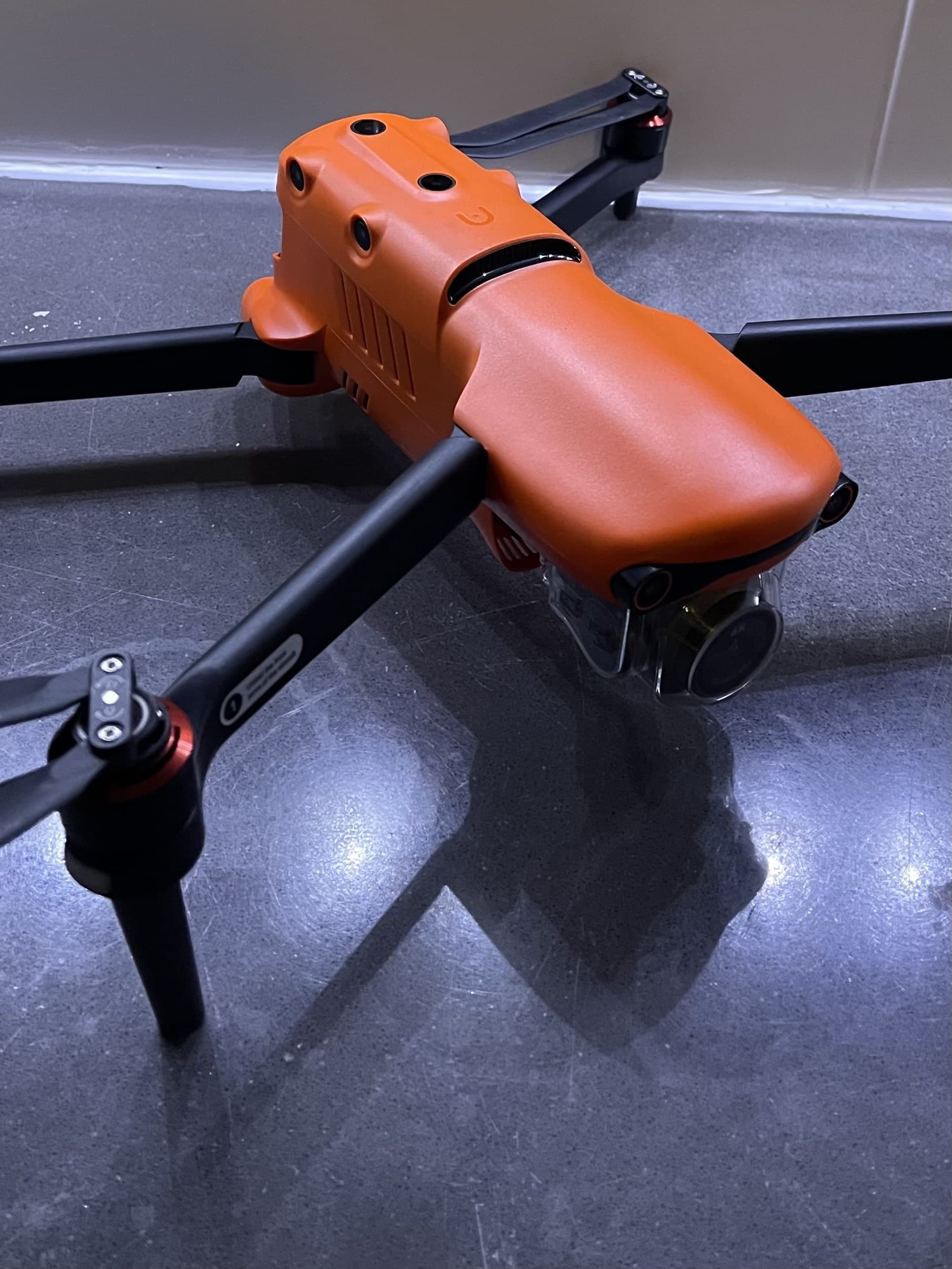
Large open sites get the fixed-wing VTOL, it covers big acreage in a single flight and lands in a clearing the size of a truck. Vegetated ground gets the heavy-lift machine carrying a LiDAR payload, firing enough laser pulses through the canopy to model the actual dirt. Tight sites, progress flights and quick captures get a compact multirotor that deploys in minutes. Matching the aircraft to the site is half of what you're hiring when you hire a drone surveyor, the wrong platform either wastes budget or misses the ground entirely.
Flying the Island for real
Vancouver Island is demanding airspace and harder weather. Our operations run under Canadian RPAS rules with authorization coordinated wherever a site needs it, including the controlled zone around CFB Comox and YQQ in our own backyard. Coastal weather sets the flying windows, so we plan flights around forecasts and communicate early when a window moves. And Island terrain decides sensors: photogrammetry where the ground is visible, LiDAR where the forest hides it. That judgment call is covered in depth in our drone mapping vs. LiDAR guide.
Survey-grade, or it doesn't count
Anyone can fly a drone and produce a pretty 3D model. The difference between that and data your engineer will accept is discipline: ground control targets, RTK positioning, calibrated processing, and check shots that verify the result against independent measurement. We fly to survey standards because our clients use the numbers for design, quantities and payment, and we'll tell you honestly when a ground crew is the better tool for your site, because sometimes it is.
One drone crew, the whole Island
From our Courtenay base we fly projects across Vancouver Island, Comox Valley subdivisions, mid-Island industrial sites, forested parcels up-Island where LiDAR earns its keep. Send us the site and what you need from it; we'll recommend the platform, quote it within one business day, and schedule around the weather like people who actually live here.
Related service
Drone Mapping
Fast, accurate aerial mapping for sites of any size.