Comox Valley
3 min readSurveyors in the Comox Valley
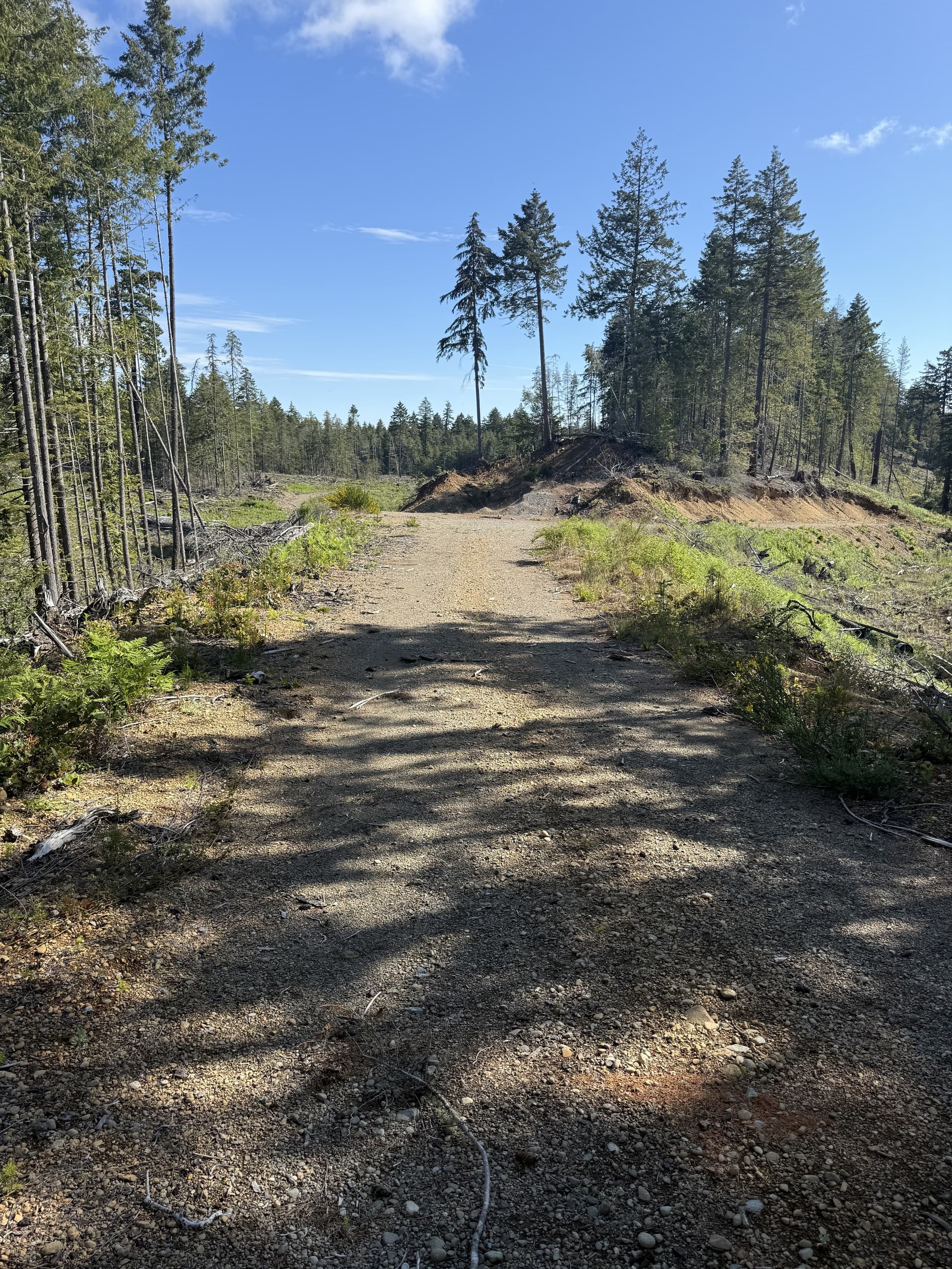
The Comox Valley is our home ground. Vancouver Island Geomatics is based in Courtenay, which means a Comox, Cumberland, Royston or Black Creek site is a short drive — not a mobilization line on the quote. Our crews work the valley every week: the highway corridor, the working forest east of Cumberland, the gravel and aggregate operations, the industrial yards along the water, and the commercial and civil projects filling in around Courtenay and Comox.
This is what surveying in the Comox Valley looks like from our side — the ground, the work, and what a local crew changes for the industrial, commercial, resource and environmental teams that hire one.
Valley ground, and why it matters
The Comox Valley runs from estuary flats and river floodplain, up across gravel bench lands, into forested foothills and eventually the mountains. A single project can cross all of it. Down low, sites are wet in winter and drainage drives the design. On the benches, the ground flies beautifully and a drone survey covers a large parcel in an afternoon. Up in the working forest, canopy closes over and the job becomes a LiDAR flight or a total-station traverse.
We know which is which before we quote, because we've measured all three — and that knowledge is what keeps a Comox Valley survey on schedule and on budget.
The work we do here
Across the valley the mix looks like this:
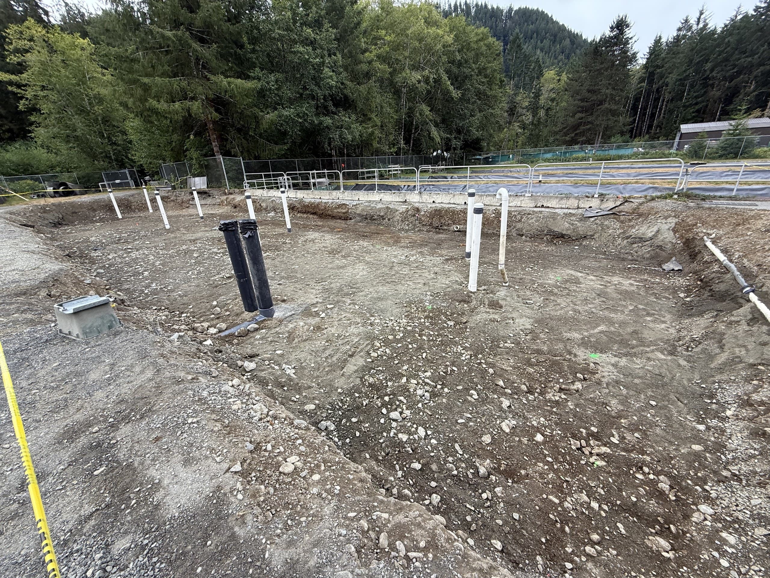
- —Construction surveying — control, layout, grade checks and as-builts for commercial, civil and industrial builds
- —Topographic surveys — design-ready existing conditions for engineers, planners and developers
- —Drone mapping and orthophotos — fast, measurable aerial data for open sites, pits and progress records
- —Drone LiDAR — bare-earth terrain under the valley's forest cover for road, corridor and resource work
- —Private utility locating — knowing what's underground before the excavator arrives
- —Environmental and monitoring surveys — repeatable datasets on a consistent datum for consultants and stewardship programs
Industrial, resource and commercial focus
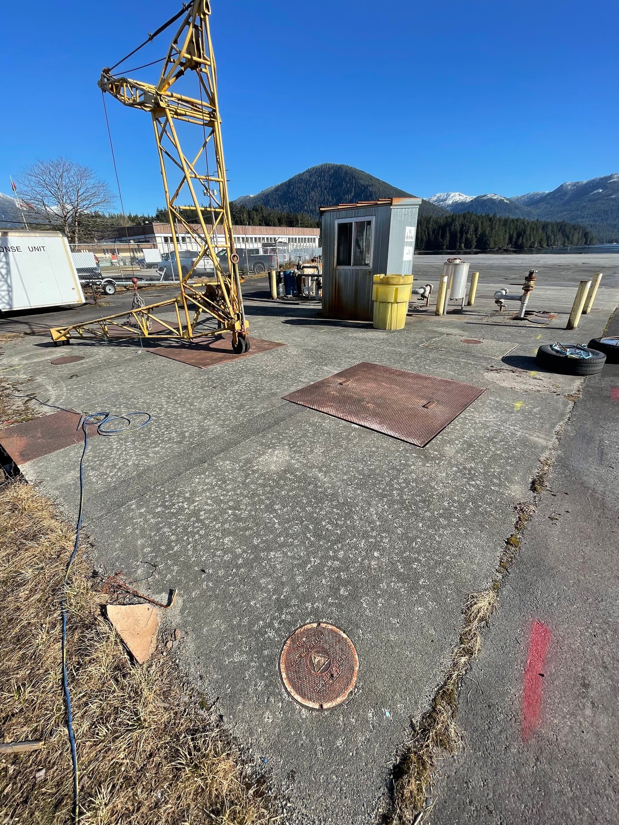
The valley's economy is built on more than its subdivisions. Forestry roads and cutblocks, aggregate pits, waterfront and industrial yards, utilities and civil infrastructure, and the commercial projects along the highway corridor all need survey data that engineers and operations managers can act on. That's the work we're built for: crews comfortable on active sites, safety orientations already done, and deliverables that drop straight into your CAD or GIS standards.
What a local crew changes
Speed, first. A same-week site visit is normal in the Comox Valley because nobody is coming from anywhere. Follow-ups — a second layout visit, an as-built before backfill, a monitoring return — cost what the visit costs, not a fresh mobilization. And when a site is flooded, socked in or waiting on traffic control, we can simply come back tomorrow.
Continuity, second. The same crew that shot your topo can lay out the design, check grades through construction and close the file with the as-built. One datum, one point of contact, one standard from the first control point to the last drawing.
Beyond the valley
Courtenay's position on the Island also puts us a short run from Campbell River and the North Island, and mid-route to Nanaimo and the south. Valley clients with projects elsewhere on Vancouver Island get the same crew and the same standard, bundled into planned runs so travel is shared rather than billed to one job.
Get a Comox Valley quote
Tell us the site, the scope and when you need it. We quote within one business day, the quote spells out exactly what's measured and what you receive, and for most valley sites we can be on the ground within the week.
Related service
Construction Surveying
Site layout, gridlines, grades and control that keep crews building, not waiting.