Mapping
3 min readOrthophotos and LiDAR on Vancouver Island: What You Actually Get
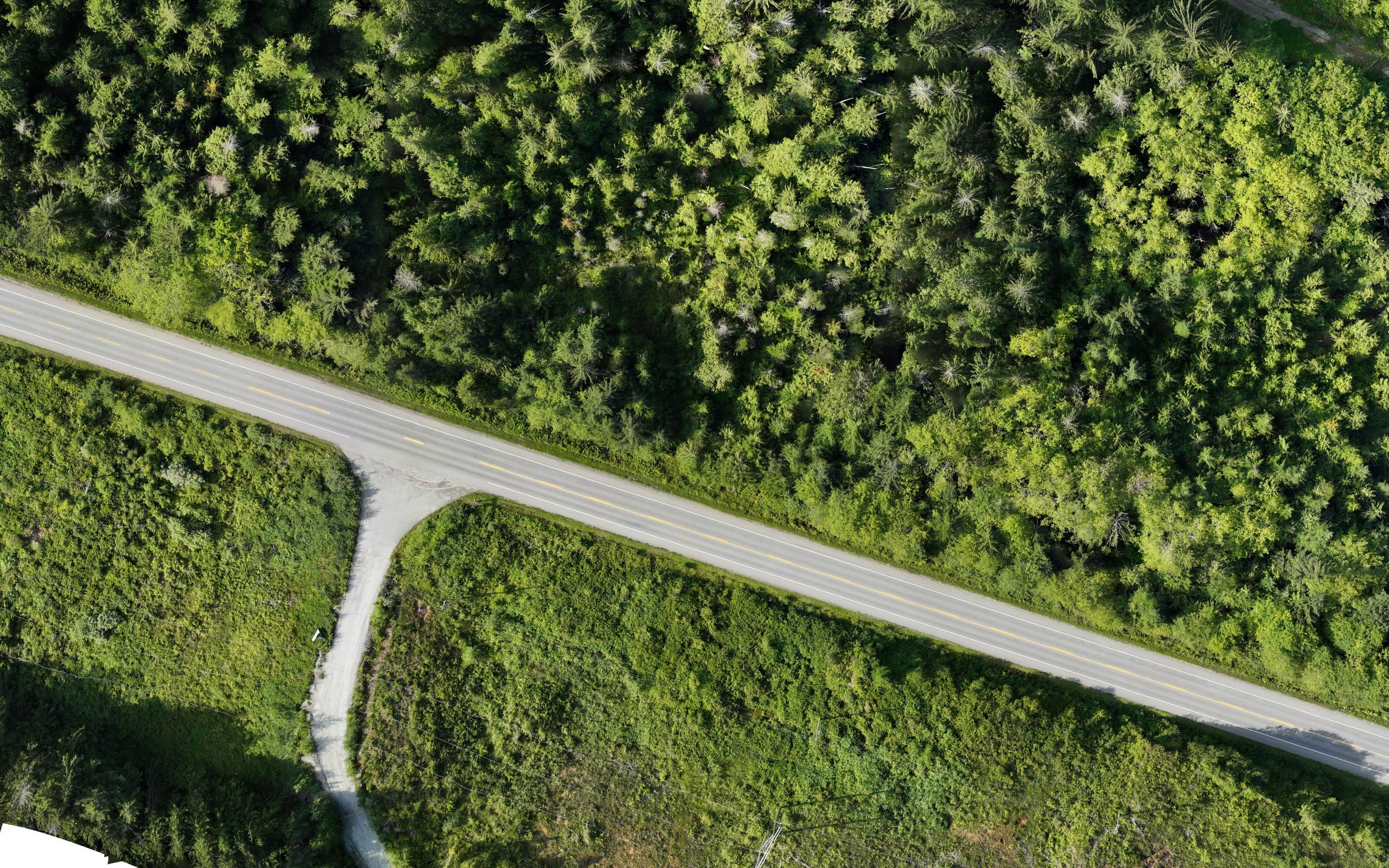
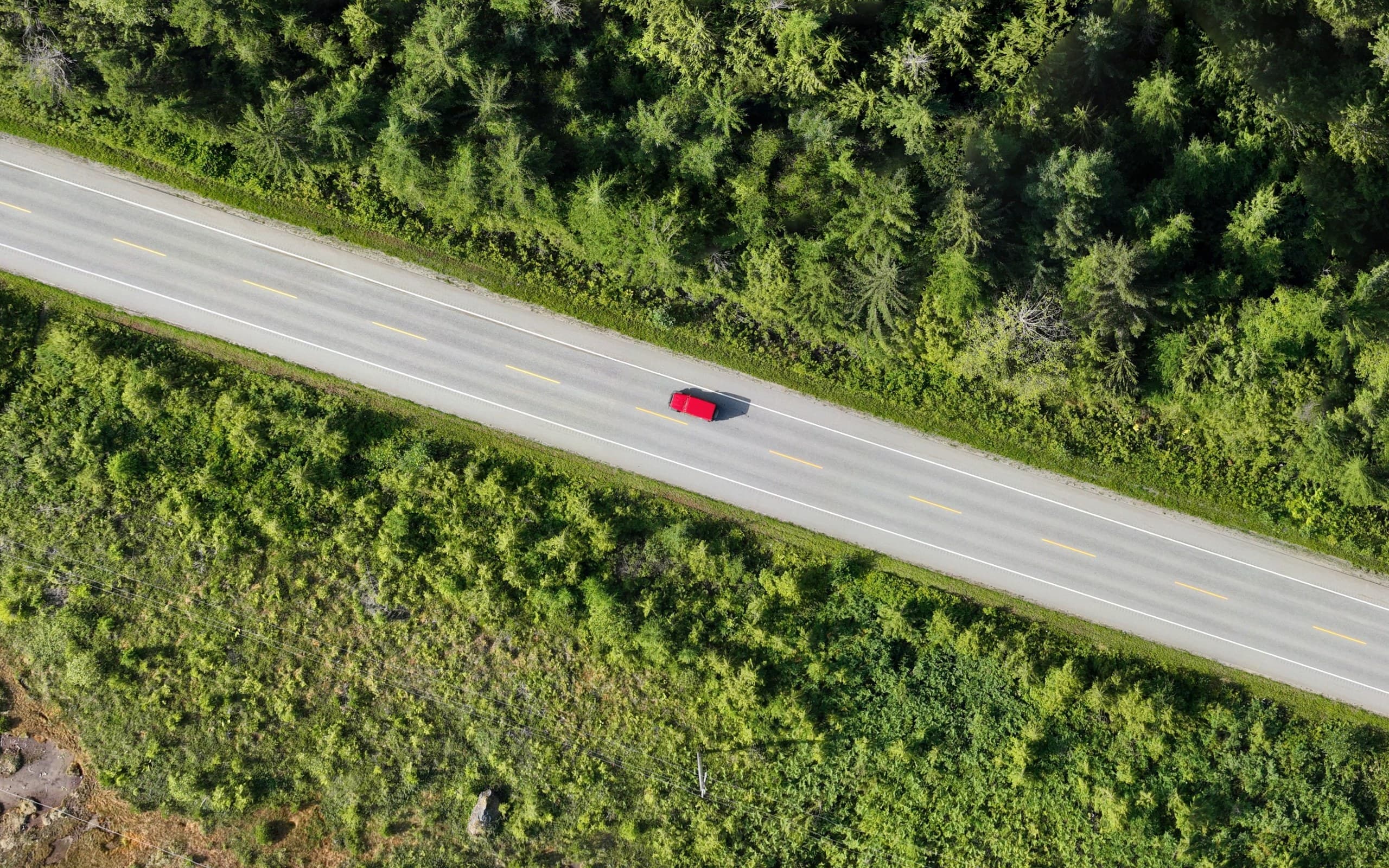
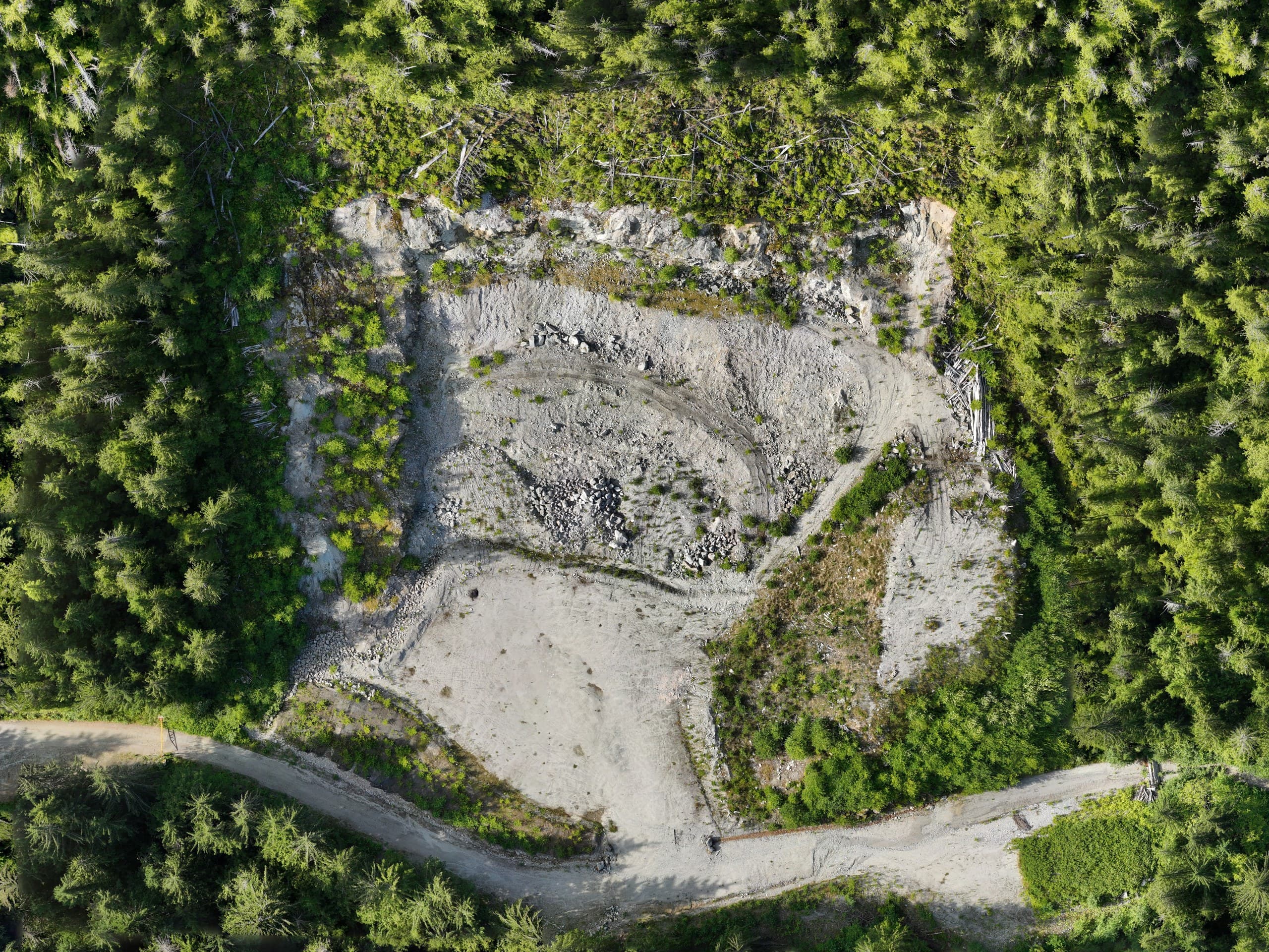
Most descriptions of aerial mapping stop at the words. This one starts with the picture: the image above is a section of a drone orthophoto we produced along a forested highway corridor — every pixel sits at its true map position, so what you see is what you can measure. Zoom in and there are lane markings, a vehicle on the road, the edge of the shoulder, the toe of a gravel pit.
This post is about what Vancouver Island project teams actually receive from an orthophoto or LiDAR job — the products, the resolution, the limits, and how the two are combined on the kind of terrain this Island throws at a project.
What a real orthophoto gives you
An orthophoto is an aerial image that has been geometrically corrected onto a terrain model and tied to ground control, so scale is constant across the whole picture. Drone orthophotos commonly resolve to a few centimetres per pixel — sharp enough to see paint lines, valves, formwork and stockpile edges. Because it is georeferenced, it opens directly in CAD or GIS in your project coordinate system and lines up with your design.
- —Measure distances and areas straight off the image
- —Overlay design drawings to check what was built where
- —Record site progress on a repeatable schedule
- —Plan access, laydown and haul routes from a current picture
- —Give planners, owners and the public a map anyone can read
Where the orthophoto stops
Look closely at the forested parts of the sample. The image is beautiful, but the ground under those trees is invisible — a camera sees the canopy, and a surface built from photos alone will follow the treetops, not the dirt. On an open pit, a yard or a cleared site, photogrammetry is the right and cheapest tool. On most of Vancouver Island, the useful ground is under second-growth forest, and that is where an orthophoto-only job quietly fails.
Where LiDAR takes over
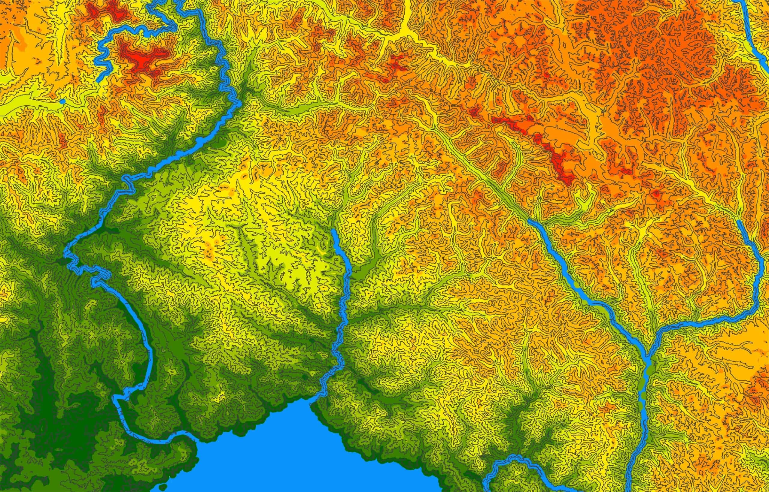
LiDAR fires laser pulses and records every return. Enough pulses slip between branches to reach the forest floor, and once the point cloud is classified, the ground returns are separated from vegetation to build a bare-earth model — the actual terrain under the canopy, with contours, breaklines and drainage that a road designer or environmental team can use. For forestry roads, corridor planning, steep vegetated ground and any site where 'the surface' has to mean the soil, LiDAR is not an upgrade; it is the only method that returns the answer.
How the two work together on Island projects
Most of our larger mapping jobs fly both. The orthophoto provides the context everyone can read — the roads, structures, cleared ground and vegetation limits — and the LiDAR provides the terrain beneath it. The corridor in the sample is a good example: the highway, side roads and pit are perfectly mapped from the imagery, while the forested slopes either side need the laser to become design-grade ground. Delivered together, in one coordinate system, they become a single dataset a project can plan, design and build from.
What you receive
Deliverables are named in the quote and stated with coordinate system, vertical datum and accuracy:
- —Orthophoto mosaic as GeoTIFF (and tiled or web-ready formats on request)
- —Classified point cloud in LAS/LAZ
- —Bare-earth digital terrain model and contours at your interval
- —3D mesh or textured model where it helps visualization
- —CAD base plan (DWG/DXF) with breaklines and mapped features
- —Volumes, cross-sections and quantity reports built on the measured surface
Fly your site
Send us the site and what the data has to support — road design, a stockpile inventory, corridor planning, an environmental baseline, a progress record — and we'll recommend orthophoto, LiDAR or both, with a quote within one business day. We fly from Courtenay across the whole of Vancouver Island.
Related service
Drone Mapping
Fast, accurate aerial mapping for sites of any size.