Aggregate
3 min readStockpile Volume Surveys for Pits and Quarries on Vancouver Island
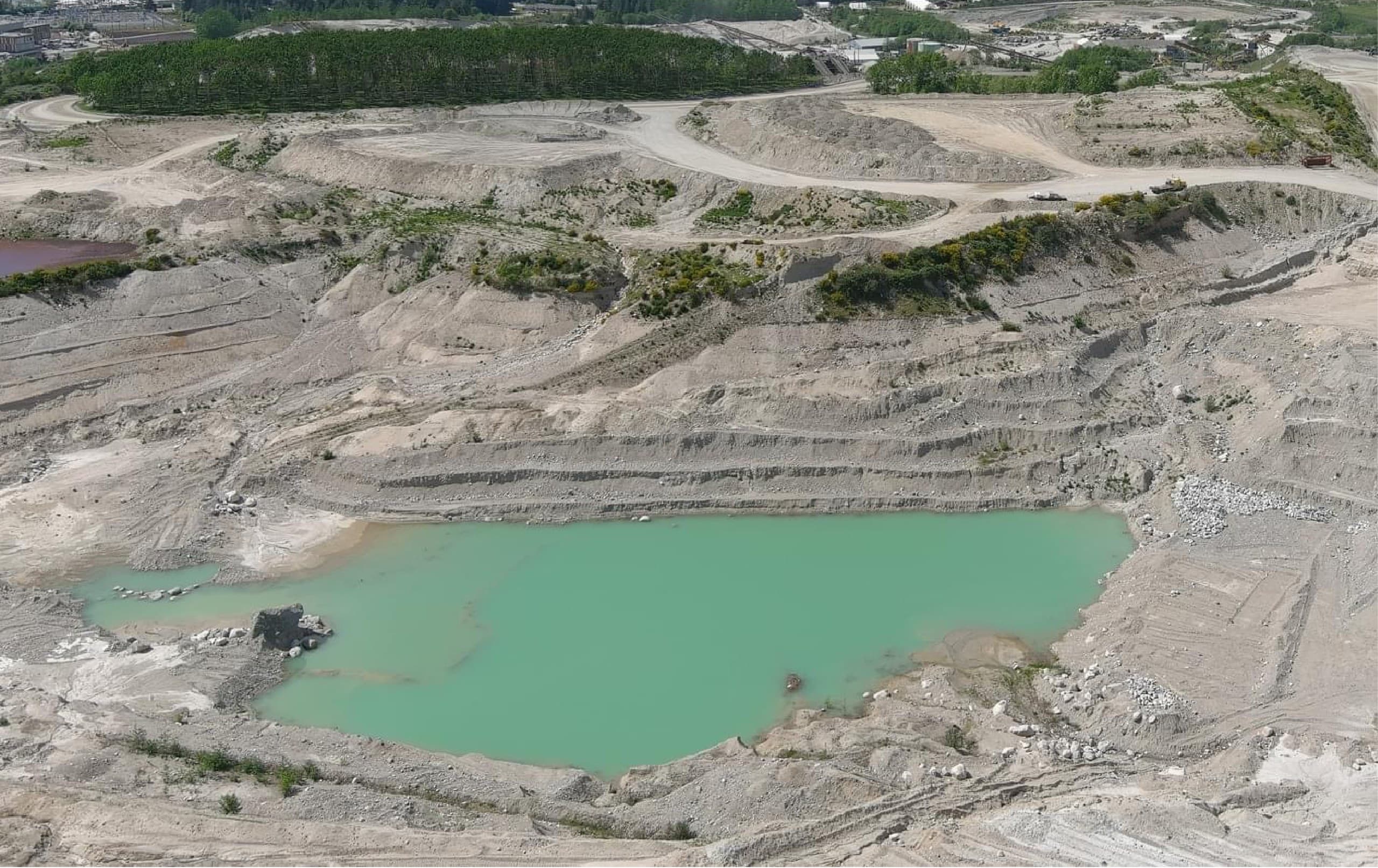
A pit runs on numbers that have to hold up: what is in the piles, what came out of the face, what the royalty report says. Vancouver Island Geomatics provides stockpile volume surveys for gravel pits, quarries, aggregate producers, mine sites and contractor material yards across Vancouver Island. We fly the site, build a measured surface for every pile and bench, and deliver volumes and tonnages you can put in front of an auditor, a royalty holder or a buyer.
This is how we measure, what you receive, and how pits on the Island use the data beyond the inventory count.
Who this is for
Operations across the Island where material volume is money:
- Gravel pits and sand and gravel producers with month-end or year-end inventory
- Rock quarries reporting production and royalties from the face
- Aggregate and asphalt yards tracking crushed product by grade
- Mine sites and reclamation projects measuring stockpiles, waste dumps and cut volumes
- Contractors with material yards, borrow pits and imported fill to reconcile
How we measure a stockpile
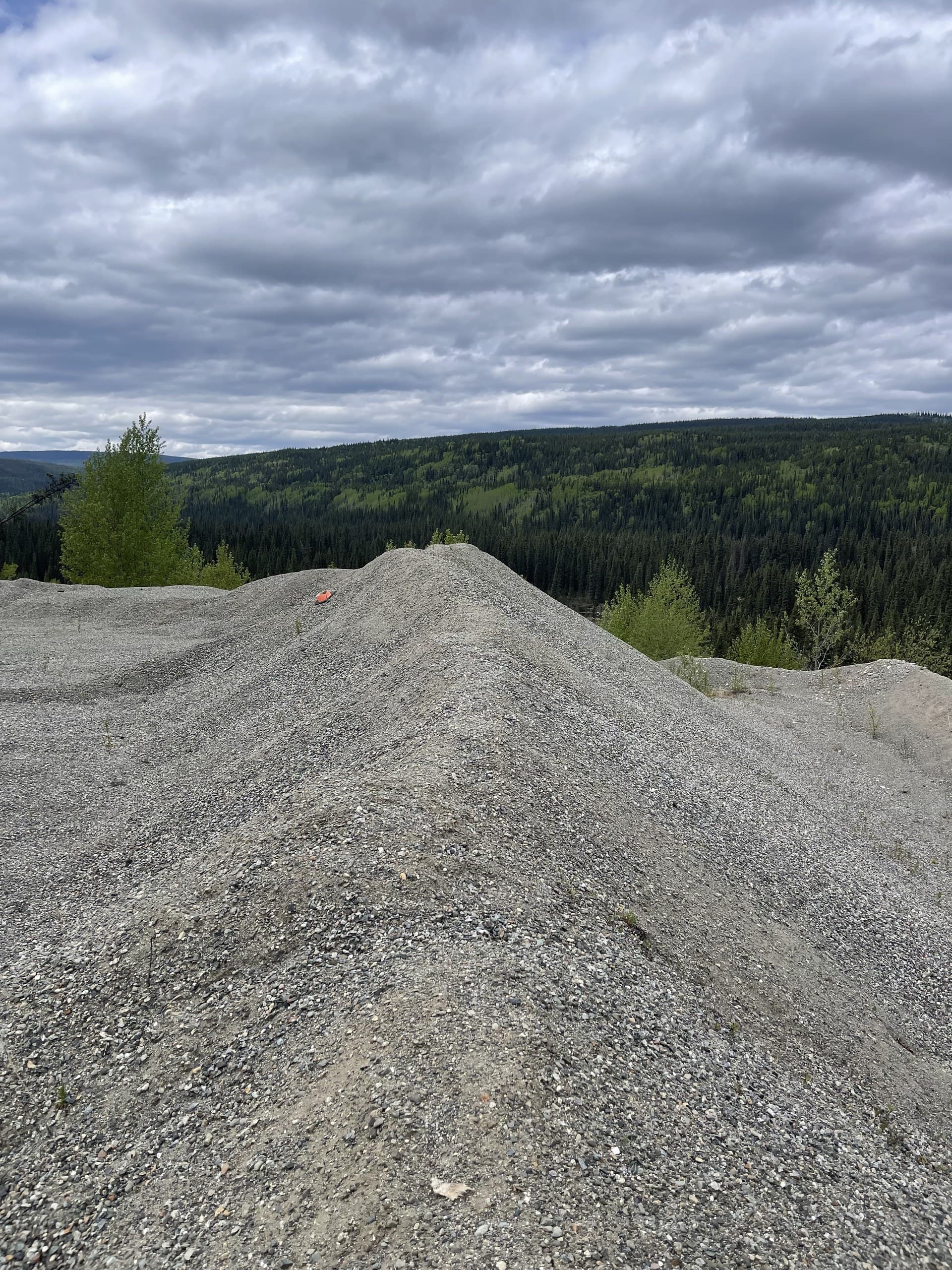
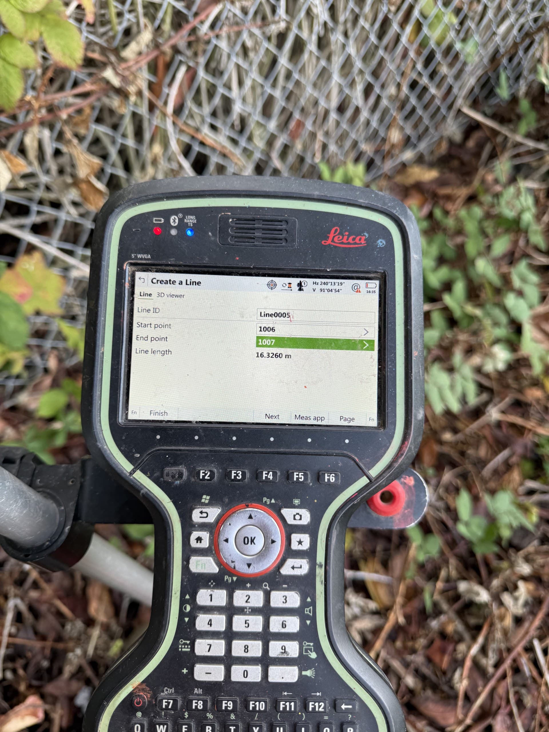
A drone survey flown with ground control produces a dense surface of every pile on the site in a single visit, without anyone walking the piles. Each stockpile is measured against its base, taken from the surrounding pit floor or from a base survey flown before the pile was built, and the volume is computed from the surface, not from a paced-out cone. Where piles sit under trees or against vegetated slopes, drone LiDAR returns the ground instead of the canopy. Survey-grade GNSS check points on every flight verify the surface before a single number leaves our hands.
What you receive
A report built to be reused, not just read:
- Volume for every stockpile, with the base surface and method stated
- Tonnage using your material densities, by product where piles are separated
- Orthophoto of the site with piles labelled, so the report matches what your yard supervisor sees
- Pit floor, face and bench surfaces for production, highwall and reclamation planning
- Change against the previous survey: production, sales and movement between visits
- Surfaces and data in the formats your engineer or accountant uses (DWG, surfaces, spreadsheets, PDF)
Inventory, royalties and audits
When the number backs an invoice, a royalty statement or a year-end inventory, the method matters as much as the volume. Every report states its control, its base surface and its accuracy, so the figure survives scrutiny from an auditor, a royalty holder or the other side of a dispute. Repeat surveys on a fixed schedule turn the count into a production record: what the face produced, what left the yard and what is still on the ground.
Beyond the pile: pit planning
The same flight that measures stockpiles measures the pit. Benches, faces, haul roads, settling ponds and reclamation areas come back as one surface, ready for extraction planning, permit reporting, slope checks and reclamation quantities. Pits that fly regularly have a current picture of the whole operation every time, not just the piles.
Vancouver Island coverage
We serve pits and quarries across the Island from our Courtenay base: Comox Valley and Campbell River operations on short notice, mid-Island and Cowichan Valley sites on planned runs, and North Island and west coast operations bundled with other work so mobilization is shared. Monthly, quarterly and year-end schedules are all normal, and the drone makes a full-site survey a short visit.
Get a stockpile survey quote
Tell us the site, how many piles and products, and how often you need the numbers. We quote within one business day and can set up a repeat schedule that lands before your reporting date every time.
Related service
Drone Mapping
Fast, accurate aerial mapping for sites of any size.