For Engineers
2 min readSurveying Services for Engineering Firms on Vancouver Island
Engineering firms don't buy surveys. They buy certainty. When your designer opens the base plan, every elevation has to be on the right datum, every invert has to be real, and every surface has to be dense enough to design on. We support consulting engineers across Vancouver Island with exactly that: field data collected to your standards, delivered in your formats, with a surveyor on the phone who speaks your language.
We work from Courtenay and support engineering projects across the whole Island. One point of contact whether the site is a pump station in the Comox Valley or a reservoir three hours up-island.
What we do for engineering teams
- Existing-conditions and topographic surveys your team can design on directly: surfaces, breaklines, features and visible services
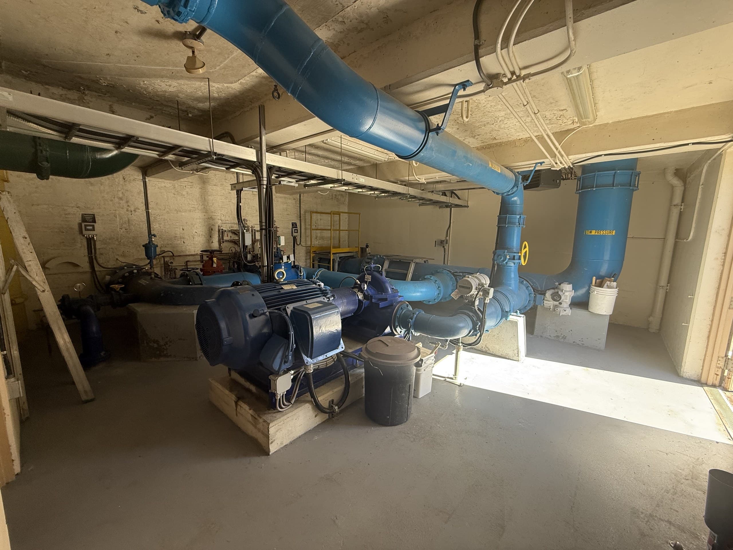
- Infrastructure as-builts: pump stations, reservoirs, lagoons, linear works: measured records for upgrades, condition assessments and asset files
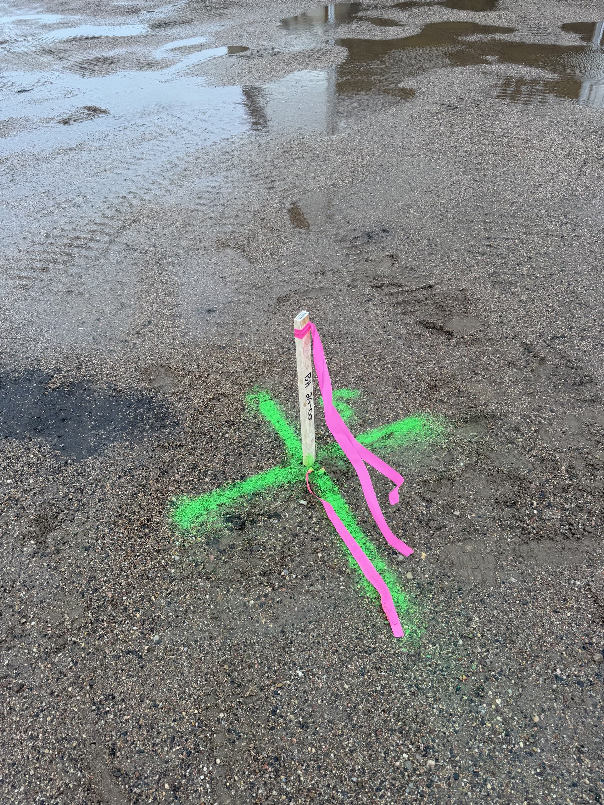
- Construction-phase support on your projects: control, layout verification and pre-backfill records that close the loop on your designs
- Deliverables to your CAD and GIS standards: your layers, your blocks, your coordinate system, stated datum and accuracy on every issue
- Drone and LiDAR capture where it beats ground methods, with the honesty to tell you when it doesn't
Municipal and infrastructure ground truth
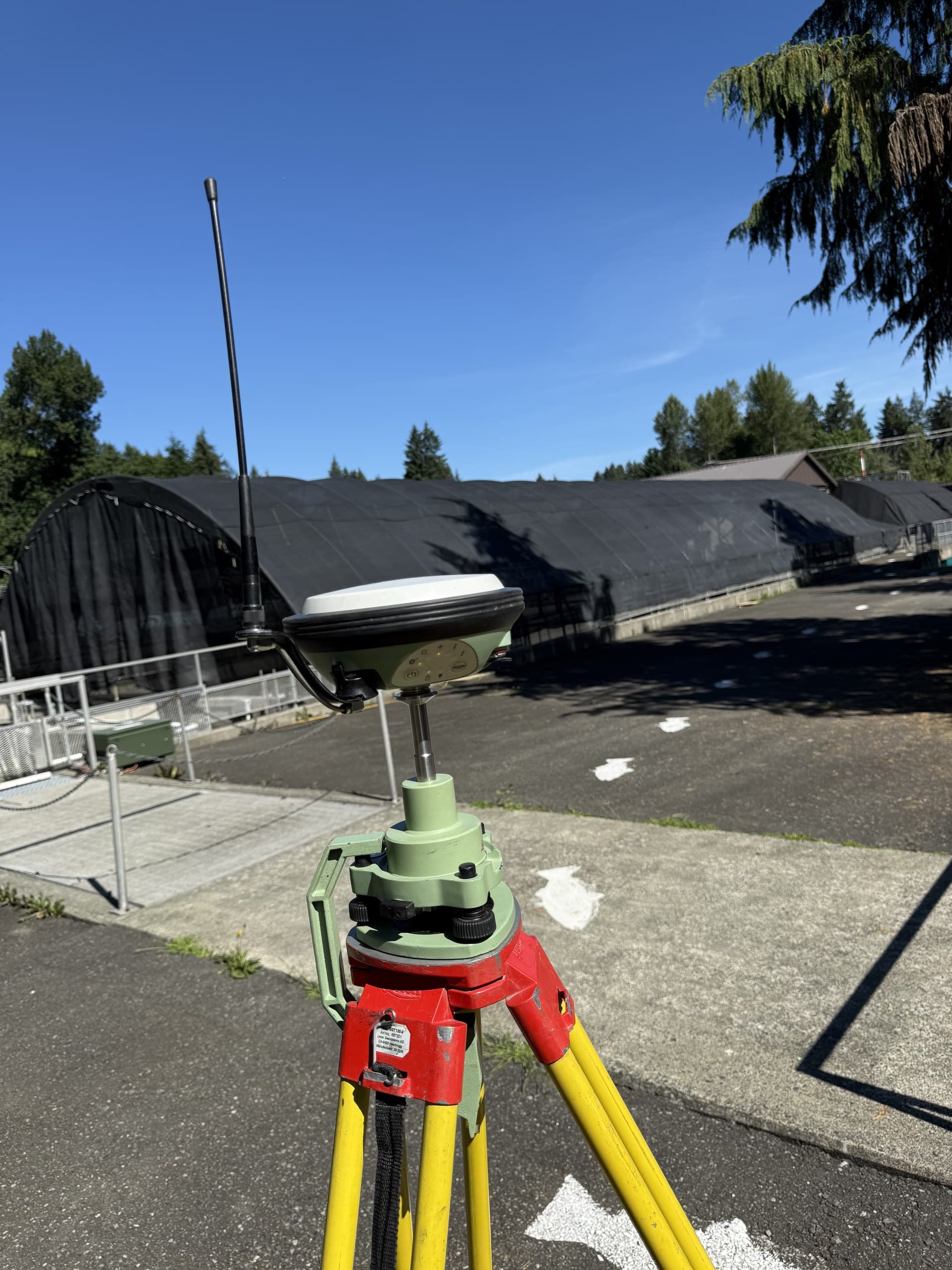
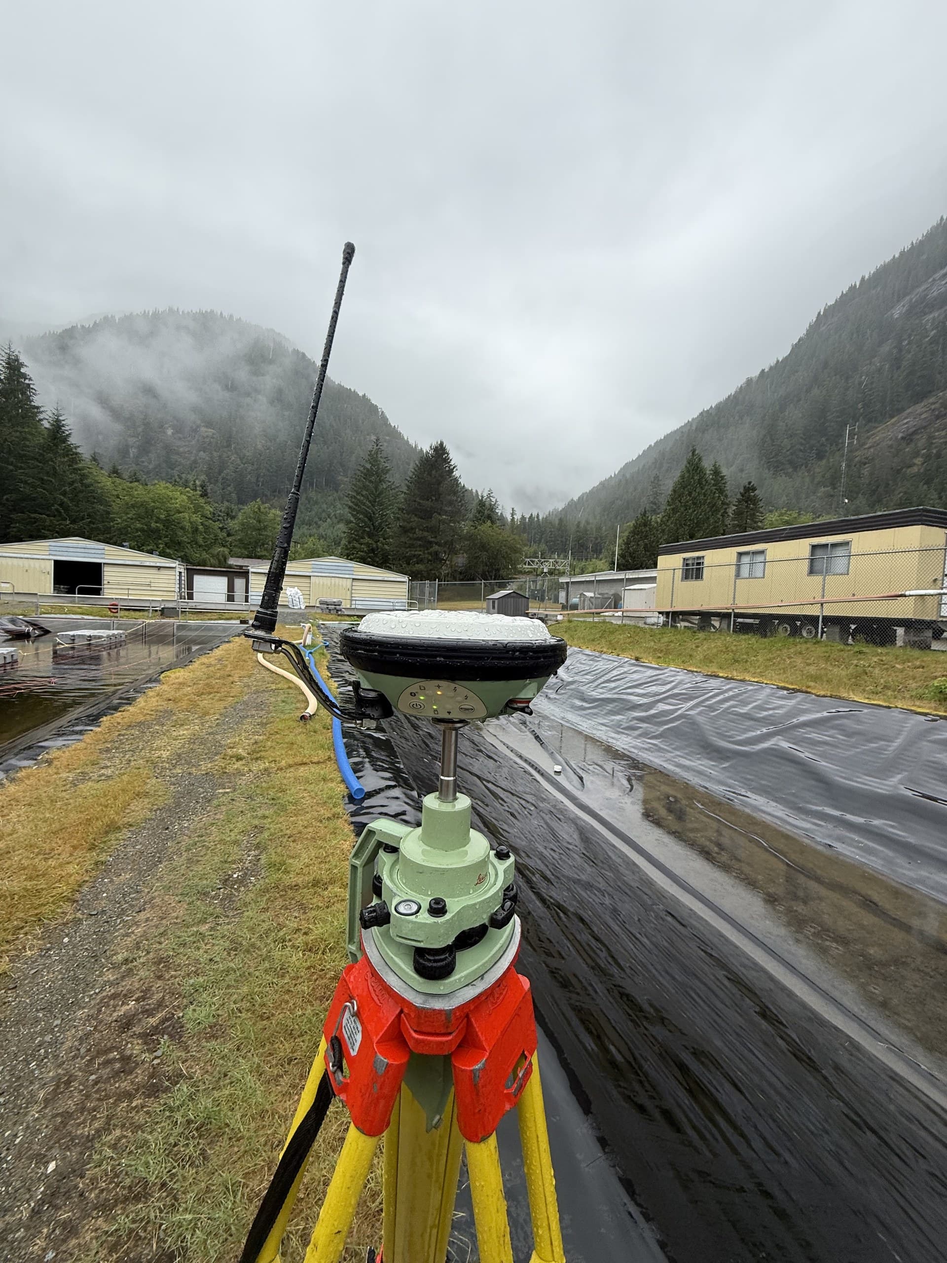
A lot of our engineering support happens where the infrastructure lives: inside pump stations, along reservoir aprons, across treatment facilities and utility corridors. That work rewards a survey partner who shows up oriented, safety protocols handled, coordination with operators done, and measurements captured without interrupting the facility. The photos on this page are that work: real Island infrastructure, measured in real Island weather.
The datum discipline your drawings depend on
Nothing burns an engineering schedule like spatial data on an ambiguous basis. Every dataset we deliver states its coordinate system, vertical datum, source and accuracy, and when your project has an established survey basis, we deliver on it exactly, so your existing conditions, design and eventual as-builts all live on one consistent frame. It's unglamorous, and it's the reason repeat engineering clients stay repeat clients.
One firm, the whole Island
Consulting work doesn't respect municipal boundaries, and neither do we. From our Courtenay base we support engineering projects from Greater Victoria to Port Hardy, which means your firm can carry one surveying relationship across an Island-wide portfolio instead of sourcing a new local provider for every job. Send us the project list; we'll tell you honestly what scheduling looks like for each site.
Related service
Topographic Surveys
Accurate existing-conditions data for design, planning and development.