Nanaimo
4 min readTopographic Surveys in Nanaimo
Every Nanaimo project that gets designed starts with the same question: what is actually out there? A topographic survey answers it — the shape of the ground, the features on it, the utilities you can see and the ones you can't — as a measured dataset your engineer can design on, your estimator can quantify from and your approvals can reference.
Vancouver Island Geomatics provides topographic surveys throughout Nanaimo and the surrounding area from our base in Courtenay. This is what a Nanaimo topo involves, how we collect it on the city's very different kinds of ground, and what arrives in your inbox at the end.
Nanaimo ground is not one kind of ground
Nanaimo packs a lot of terrain into one city. Along the harbour and the industrial flats the sites are open, hard-surfaced and busy with infrastructure. Behind them, the city climbs onto bench lands and hillsides where commercial and multi-family development is cut into rock and slope. Creek and river corridors thread through all of it, wooded and steep-banked. And a few minutes out — Lantzville to the north, Cedar and the airport lands to the south — the ground turns rural, treed and large.
Each of those calls for a different survey method, and the method is what decides whether a topographic survey is fast and affordable or slow and expensive. We match it site by site.
How we collect a Nanaimo topo
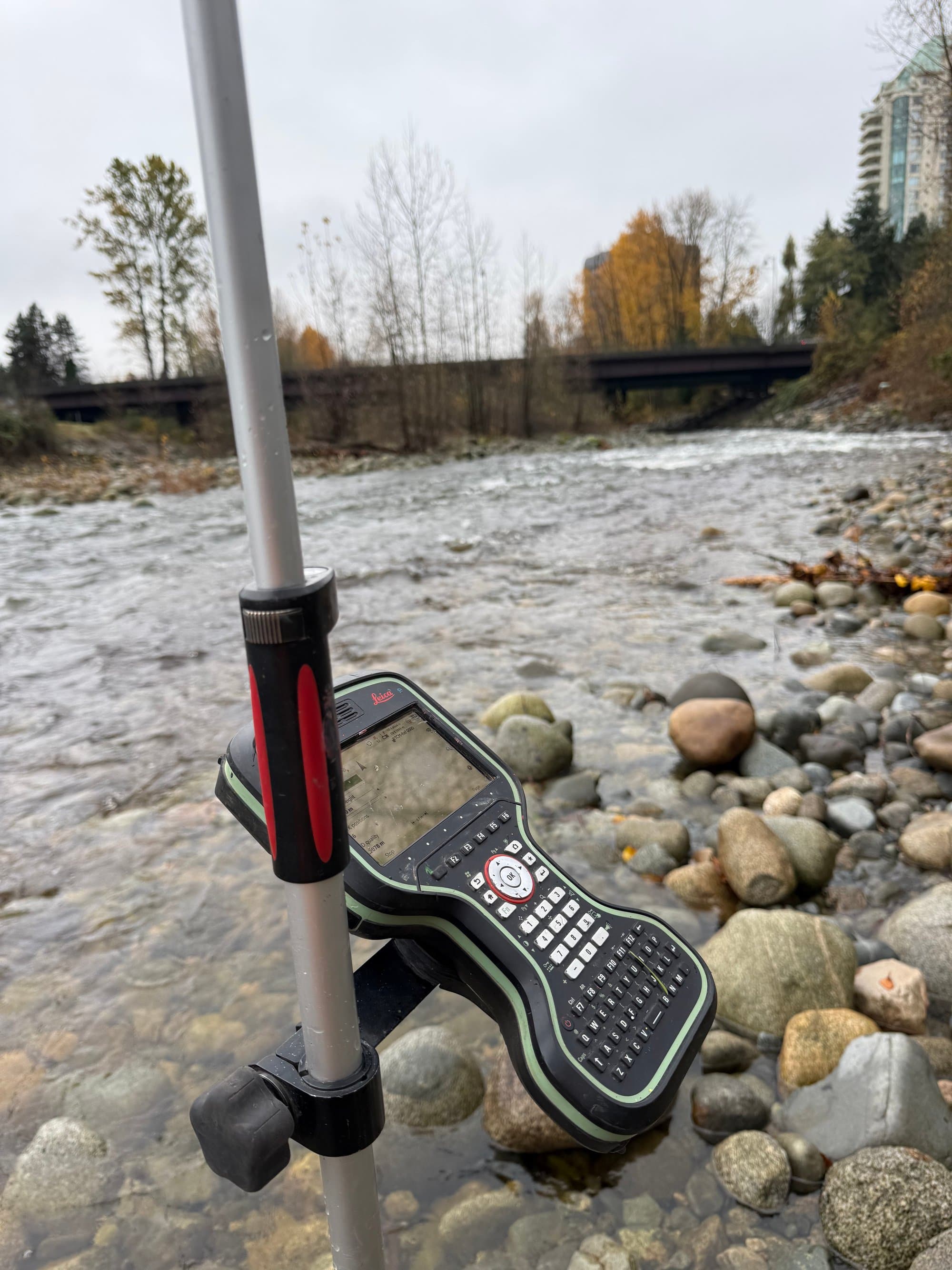
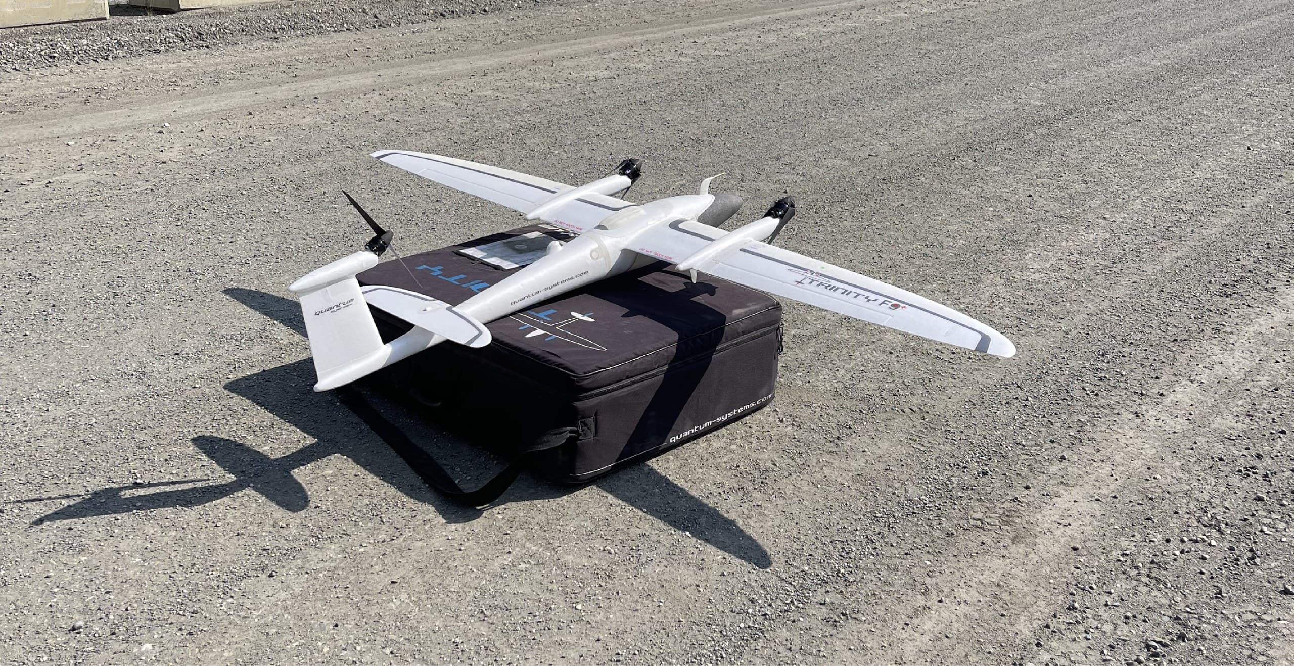
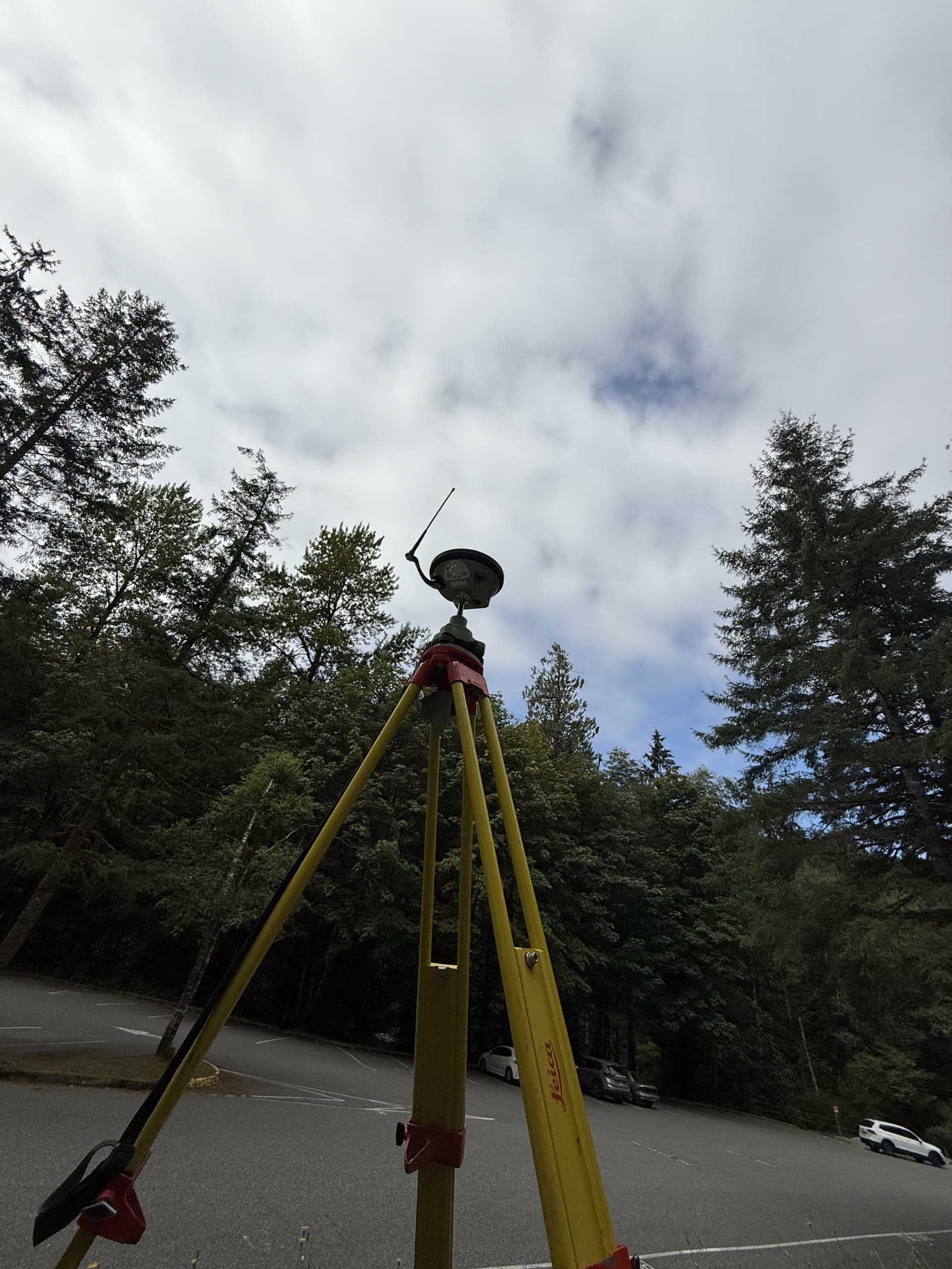
Open industrial and commercial sites fly. A drone survey covers a yard, a pit or a cleared development parcel in an afternoon and returns a dense surface plus an orthophoto everyone can read. Under trees, beside structures or on tight urban sites, the crew switches to survey-grade GNSS and a robotic total station — measuring hard detail, inverts and the ground the camera can't see. Wooded corridors and large treed parcels get drone LiDAR, which reaches the ground through the canopy. Most real Nanaimo sites end up as a blend, delivered as one dataset on one datum.
- —Drone photogrammetry for open, cleared and hard-surfaced sites
- —GNSS and robotic total station for urban, treed and structure-heavy sites
- —Drone LiDAR for forested parcels, creek corridors and steep vegetated ground
- —Ground control and check points on every job, whatever the method
What gets captured
A design-grade topographic survey records both the terrain and everything on it:
- —Ground elevations, breaklines, top and toe of slope, contours at your interval
- —Buildings, structures, retaining walls, pavement edges and hard surfaces
- —Visible utilities — manholes, catch basins, valves, poles, pedestals — with inverts where required
- —Watercourses, ditches, culverts and drainage patterns
- —Tree lines, vegetation limits and significant individual trees
- —Existing survey control and site benchmarks
Who orders topographic surveys in Nanaimo
Consulting engineers designing servicing, roads, drainage and site works. Commercial and industrial developers scoping a parcel before design. Port, marine and industrial operators who need current existing conditions around working infrastructure. Environmental consultants who need watercourse and terrain data on a consistent datum. Contractors who want a verified base before pricing earthworks. If your project needs a drawing of the site as it exists today, that is the job.
What you receive
Deliverables are named in the quote and stated with coordinate system, vertical datum and accuracy, so every later phase — design, layout, as-built — lands on the same basis. Typical Nanaimo topo packages include a CAD base plan (DWG/DXF) to your layer standards, a ground surface (DTM/TIN), contours, a PDF plan, and an orthophoto on drone-flown sites. Point clouds, cross-sections and quantities are available where the project needs them.
Getting to Nanaimo
Nanaimo is a straightforward run down the Island Highway from our Courtenay base — a mid-morning start on site, not a ferry or a mainland mobilization. Nanaimo jobs are also bundled into our regular southern runs with Parksville, Ladysmith and the Cowichan Valley, so travel is shared across projects rather than charged to one client. The result is a Courtenay-based crew that prices Nanaimo topographic surveys like a local one.
Get a Nanaimo topo quote
Send us the site, what the survey has to support and when you need it. We'll recommend the right collection method, quote within one business day, and spell out exactly what's measured and what you receive.
Related service
Topographic Surveys
Accurate existing-conditions data for design, planning and development.